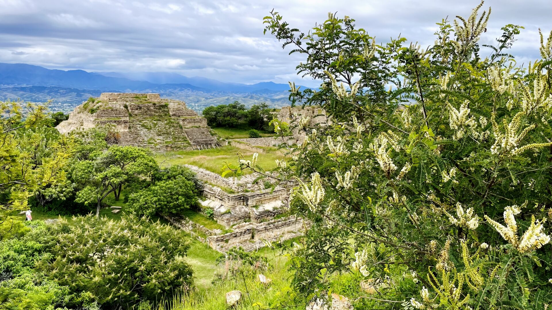
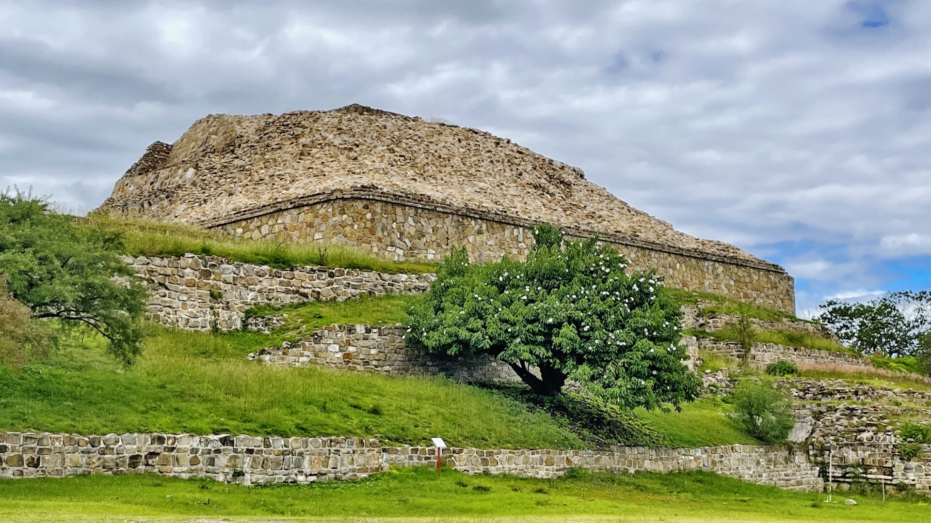
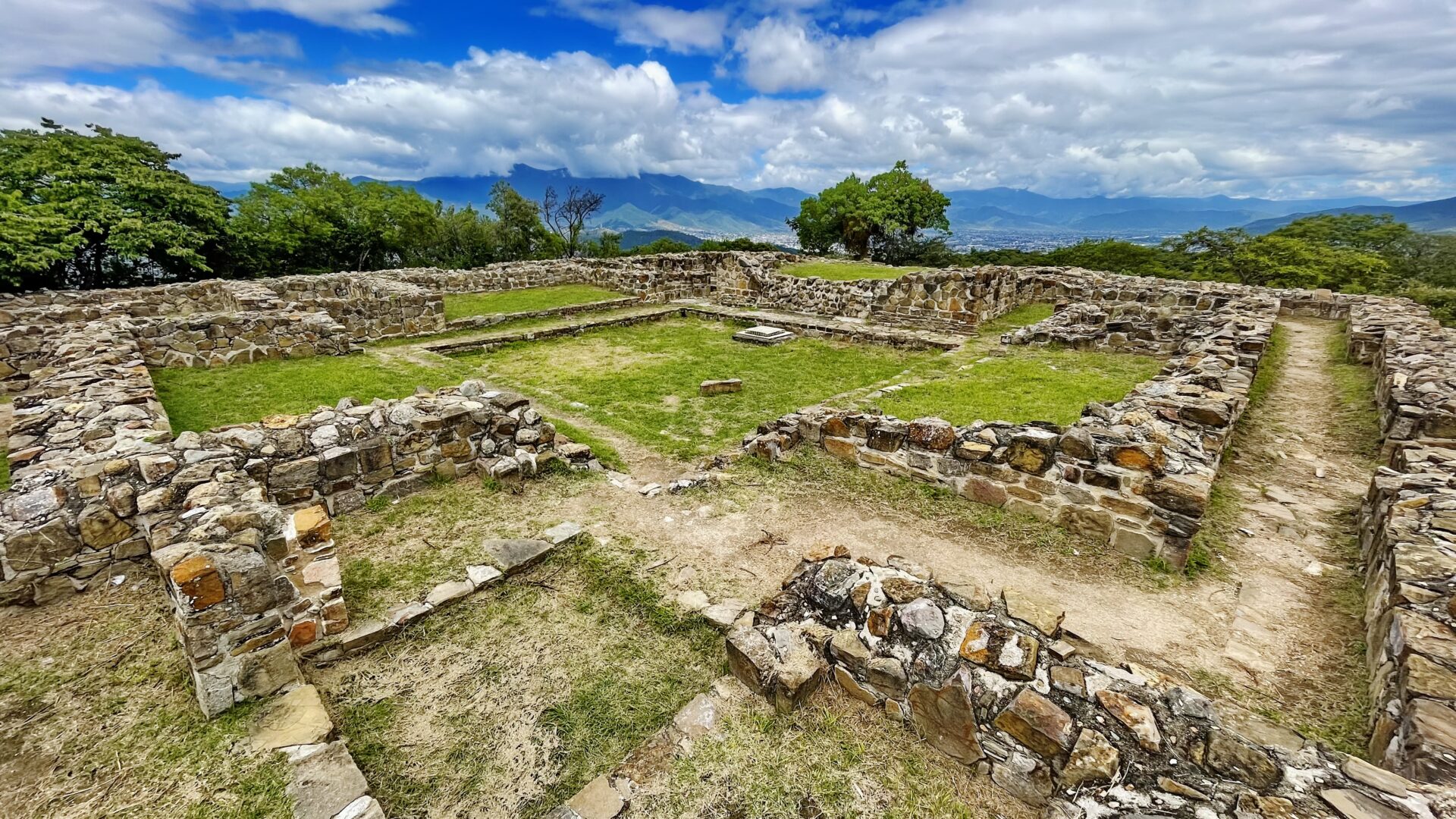
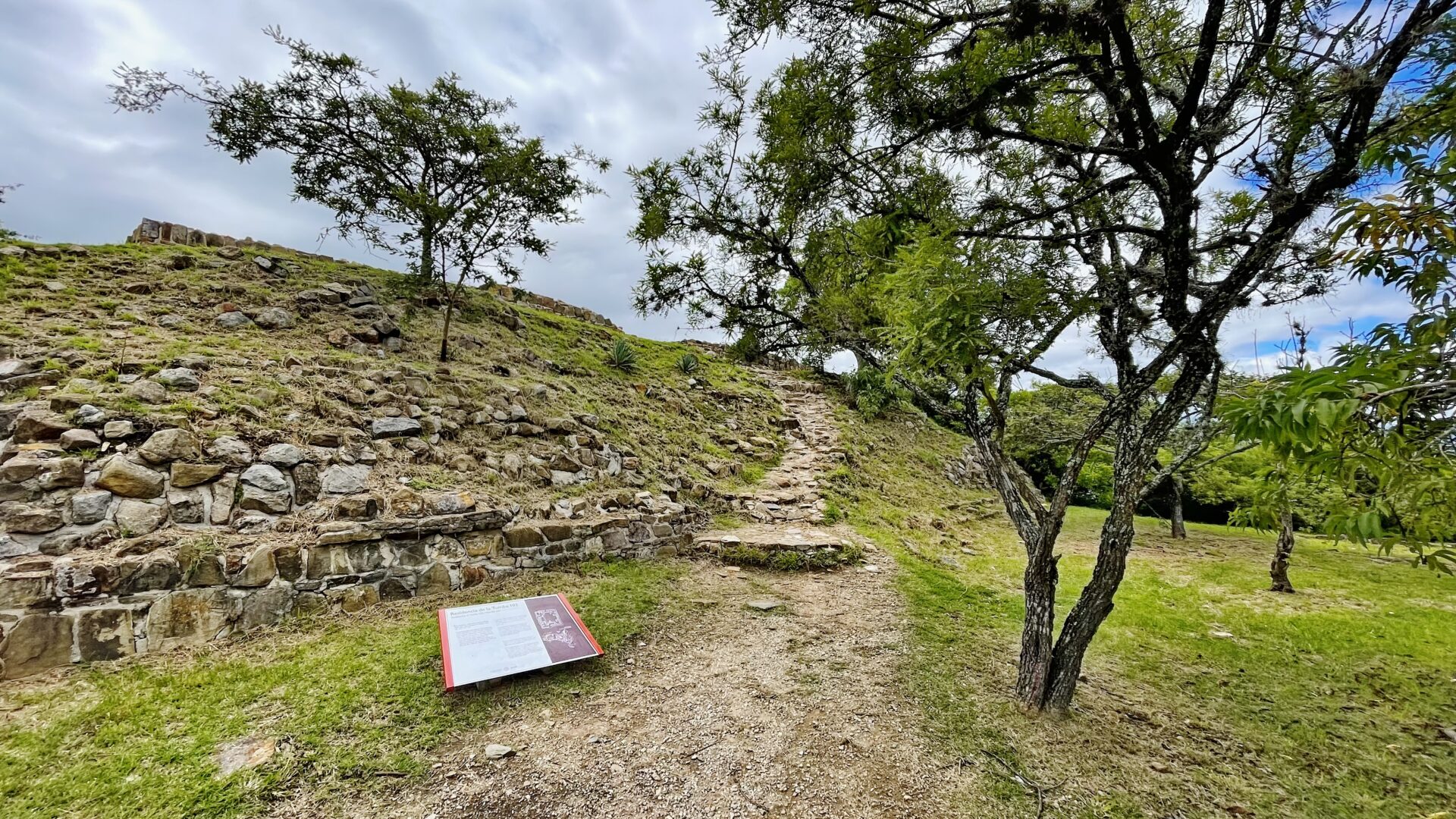
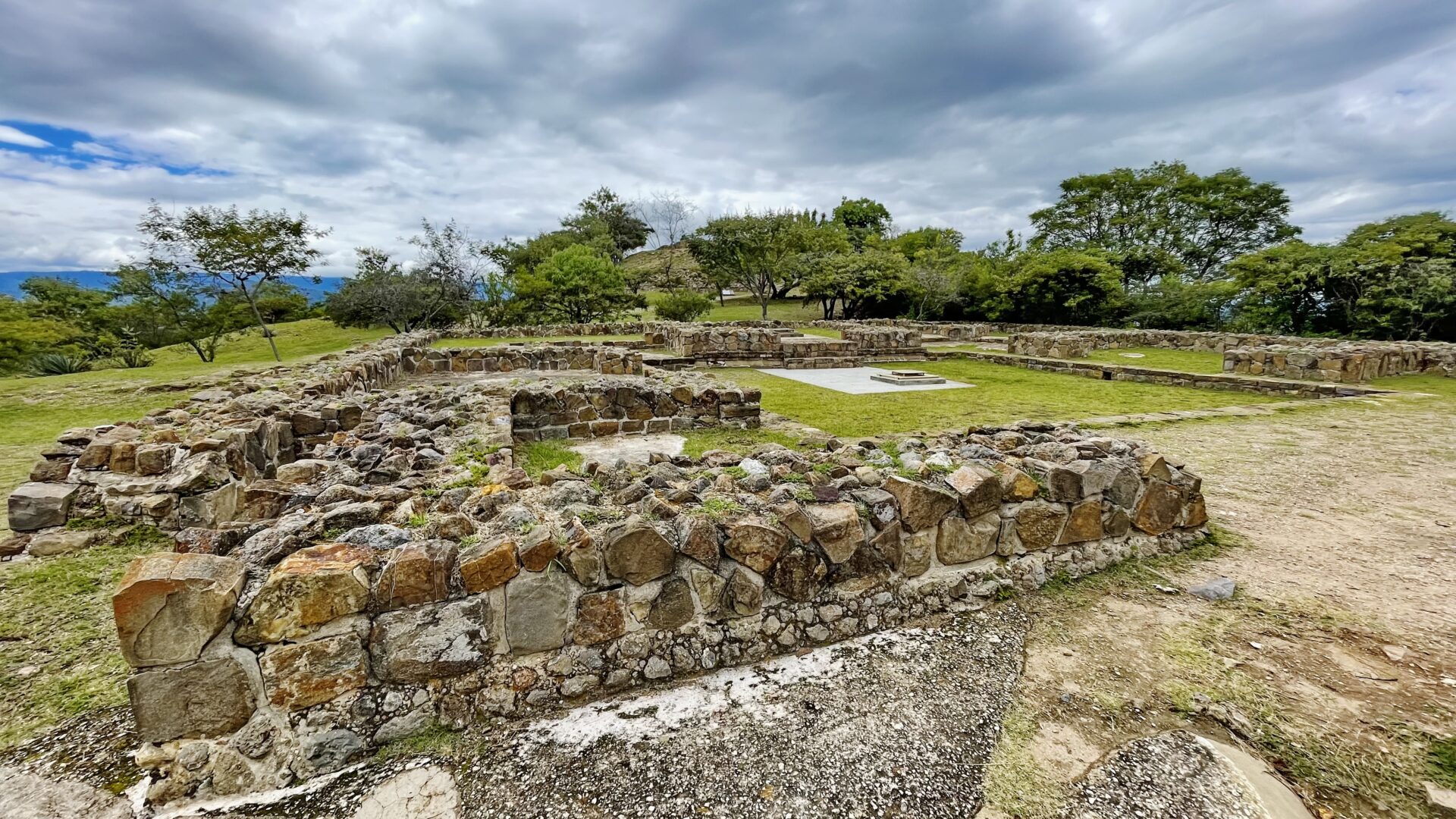
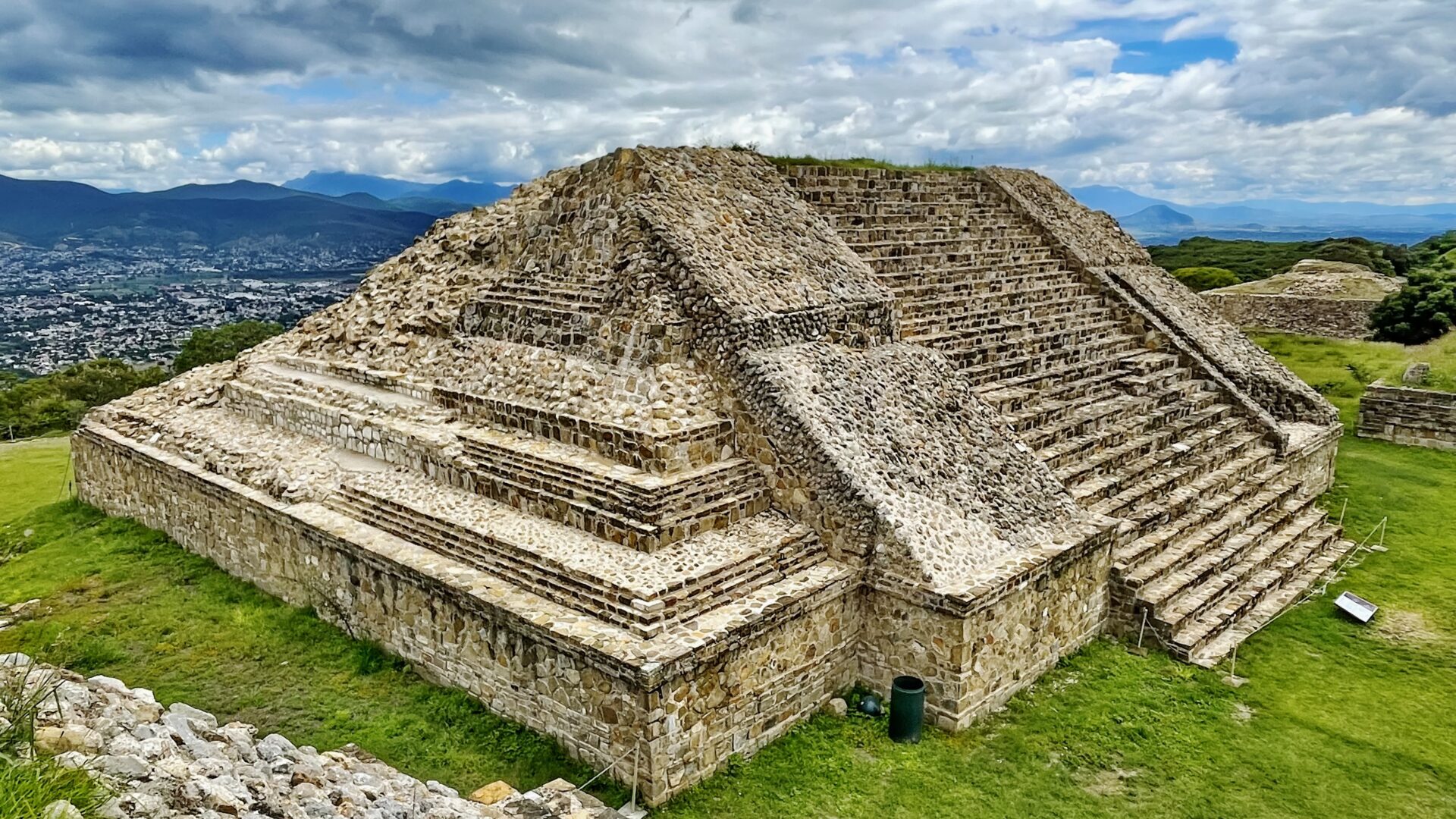
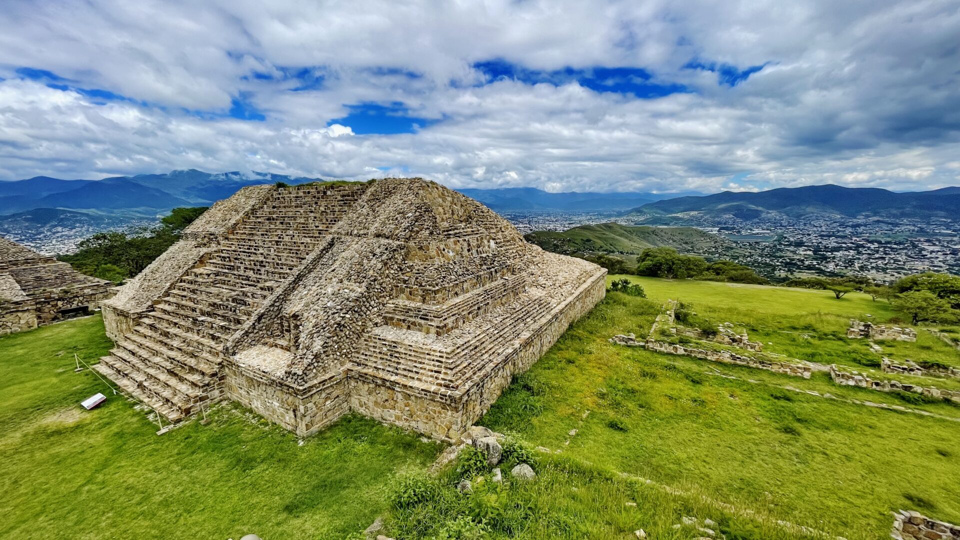
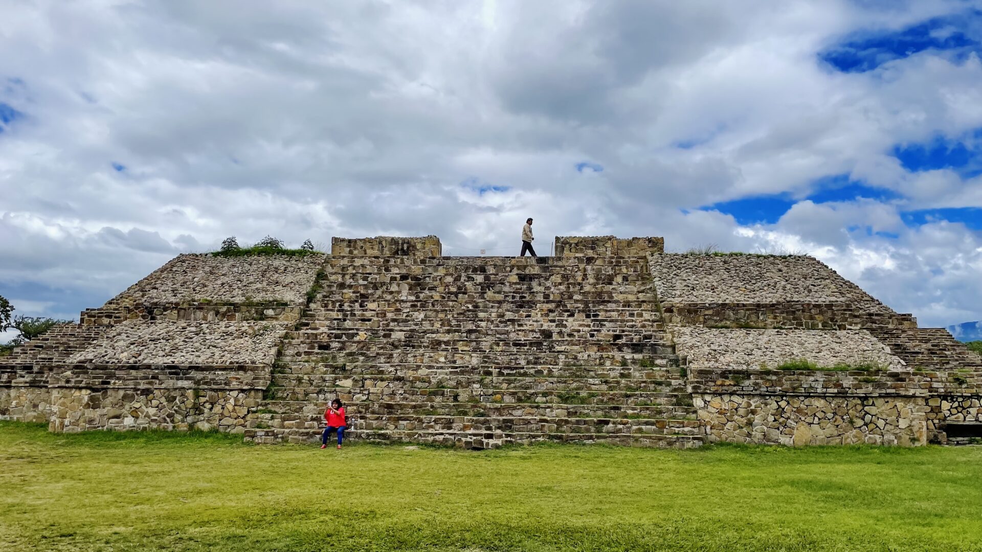
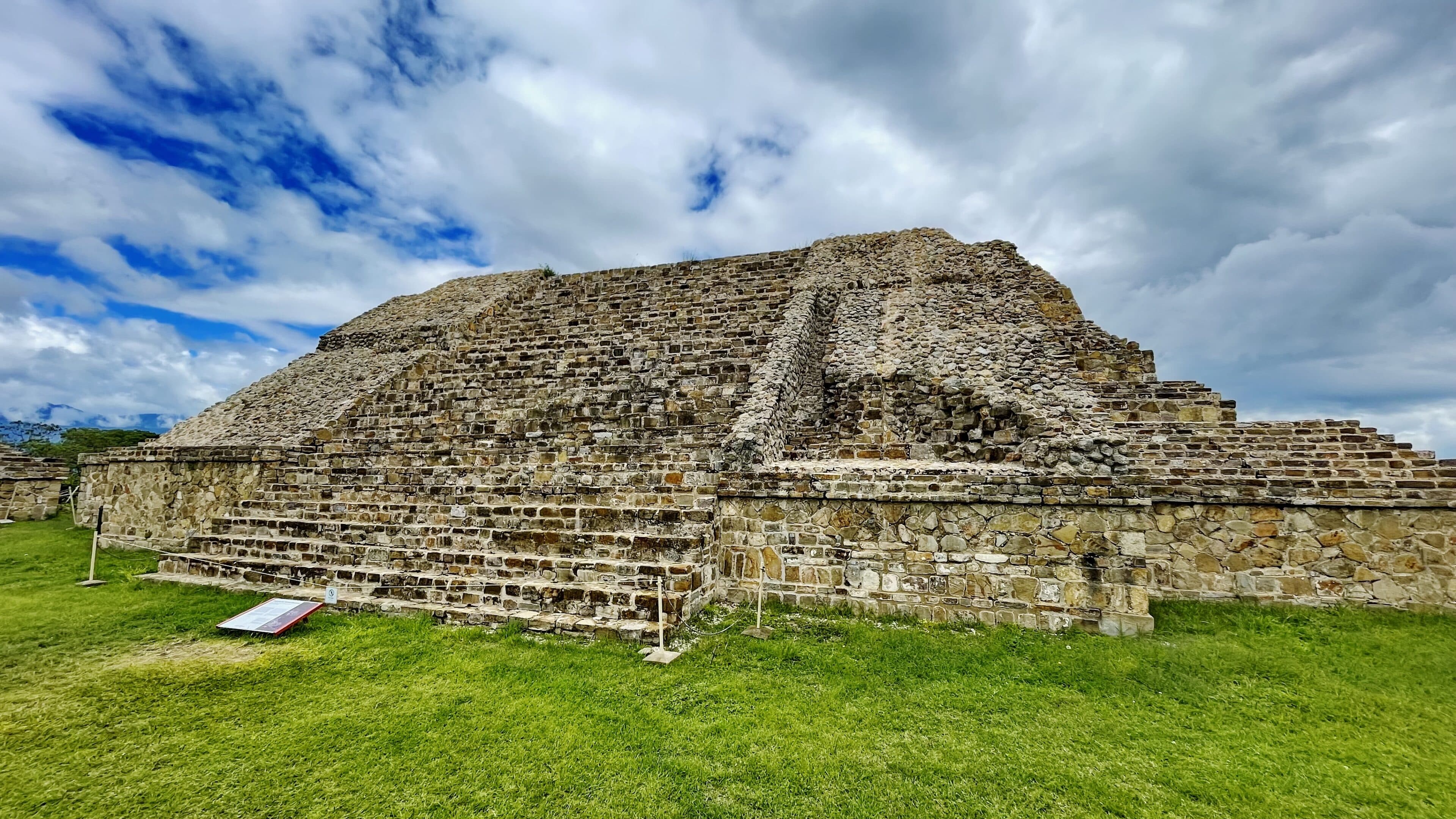
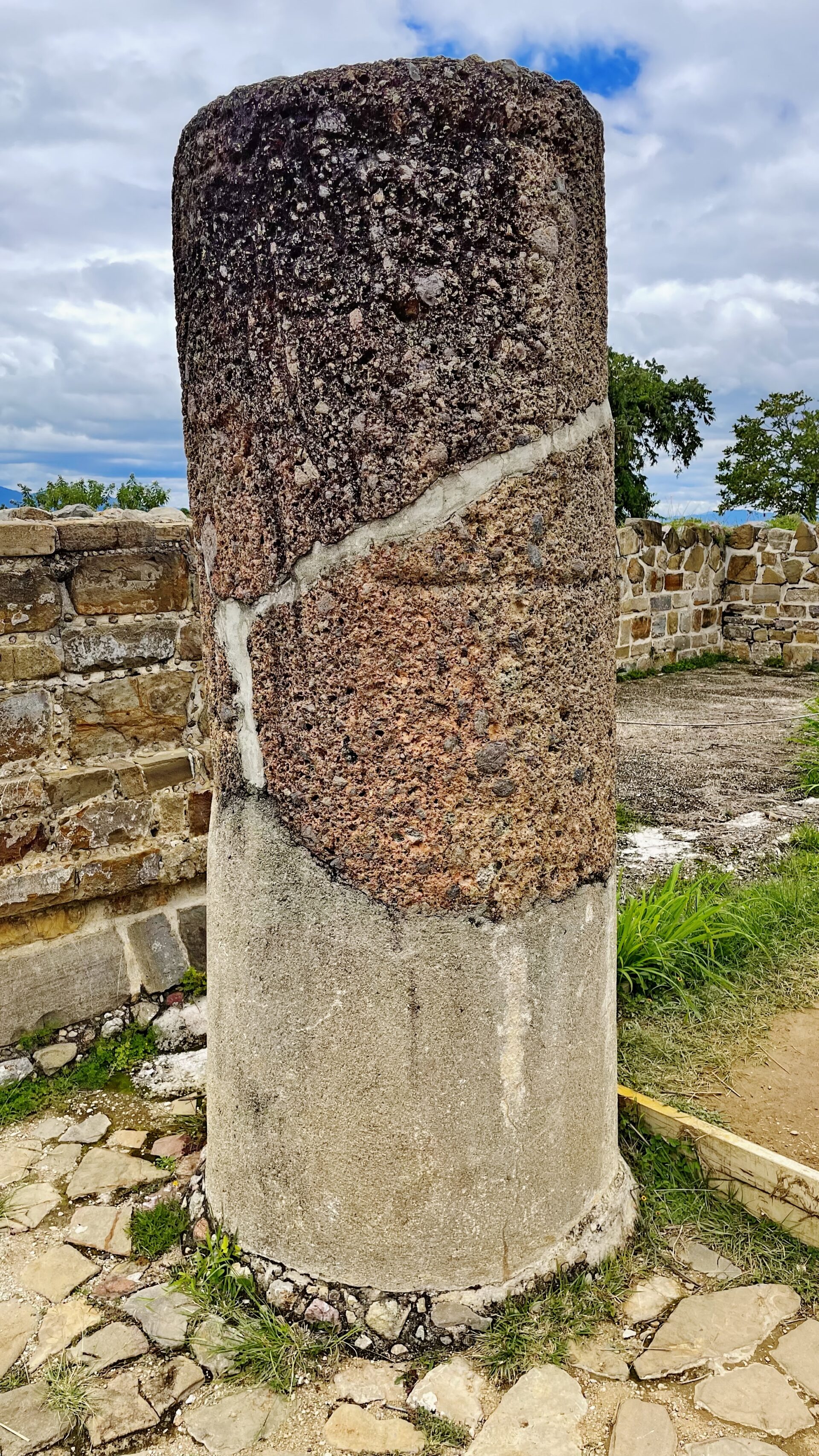
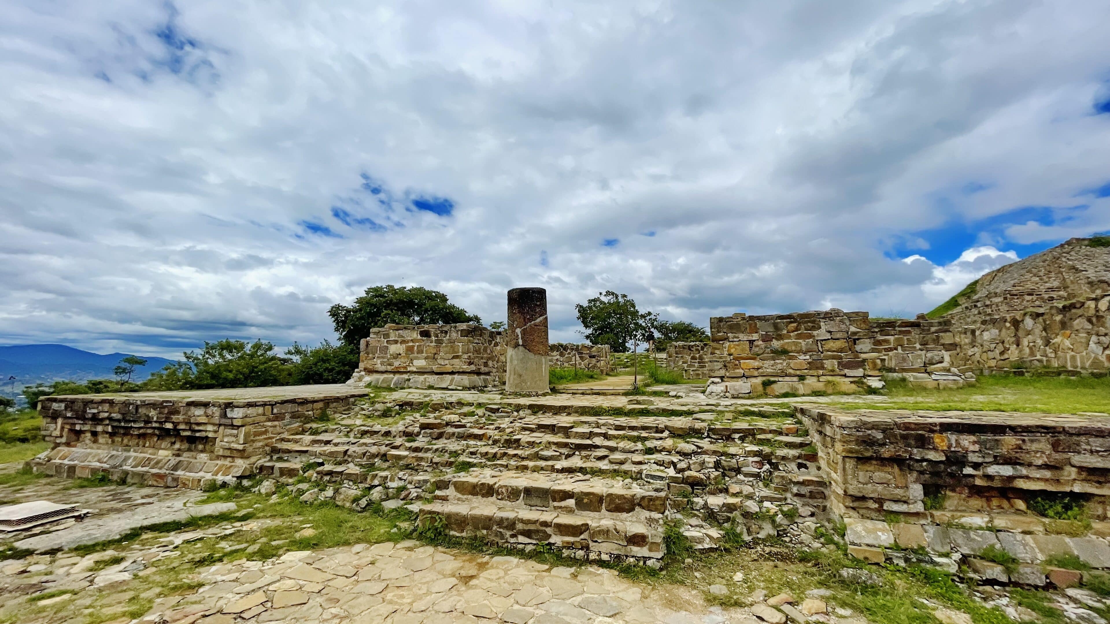
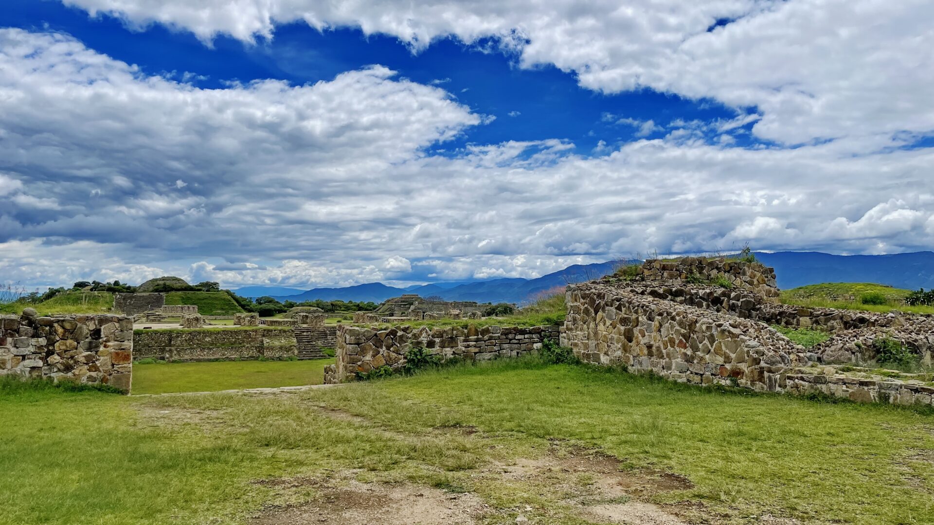
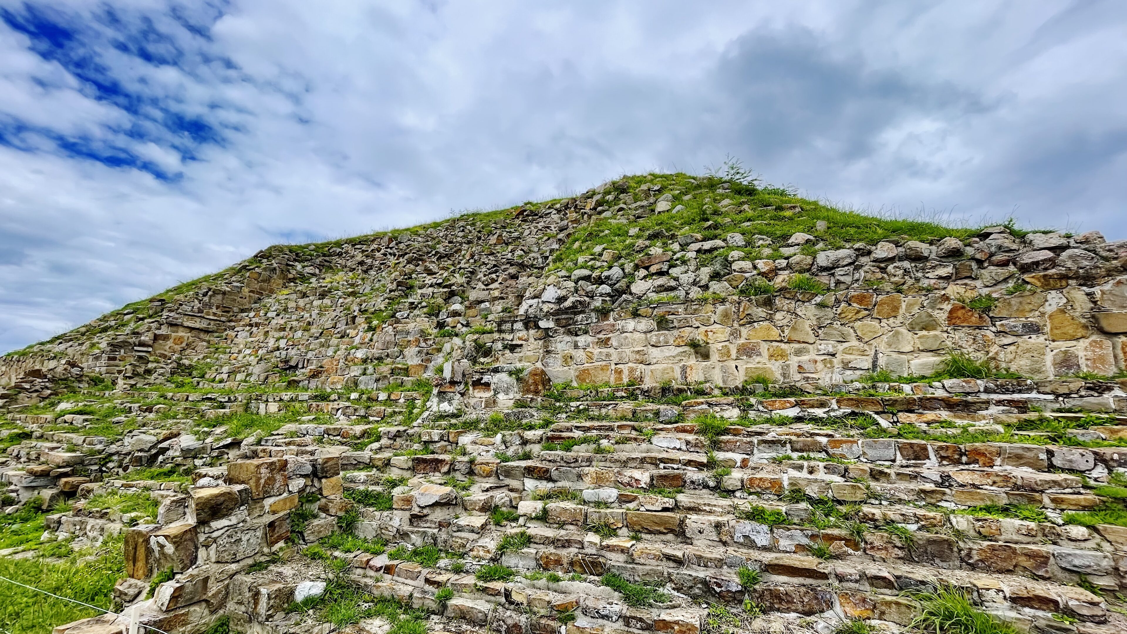
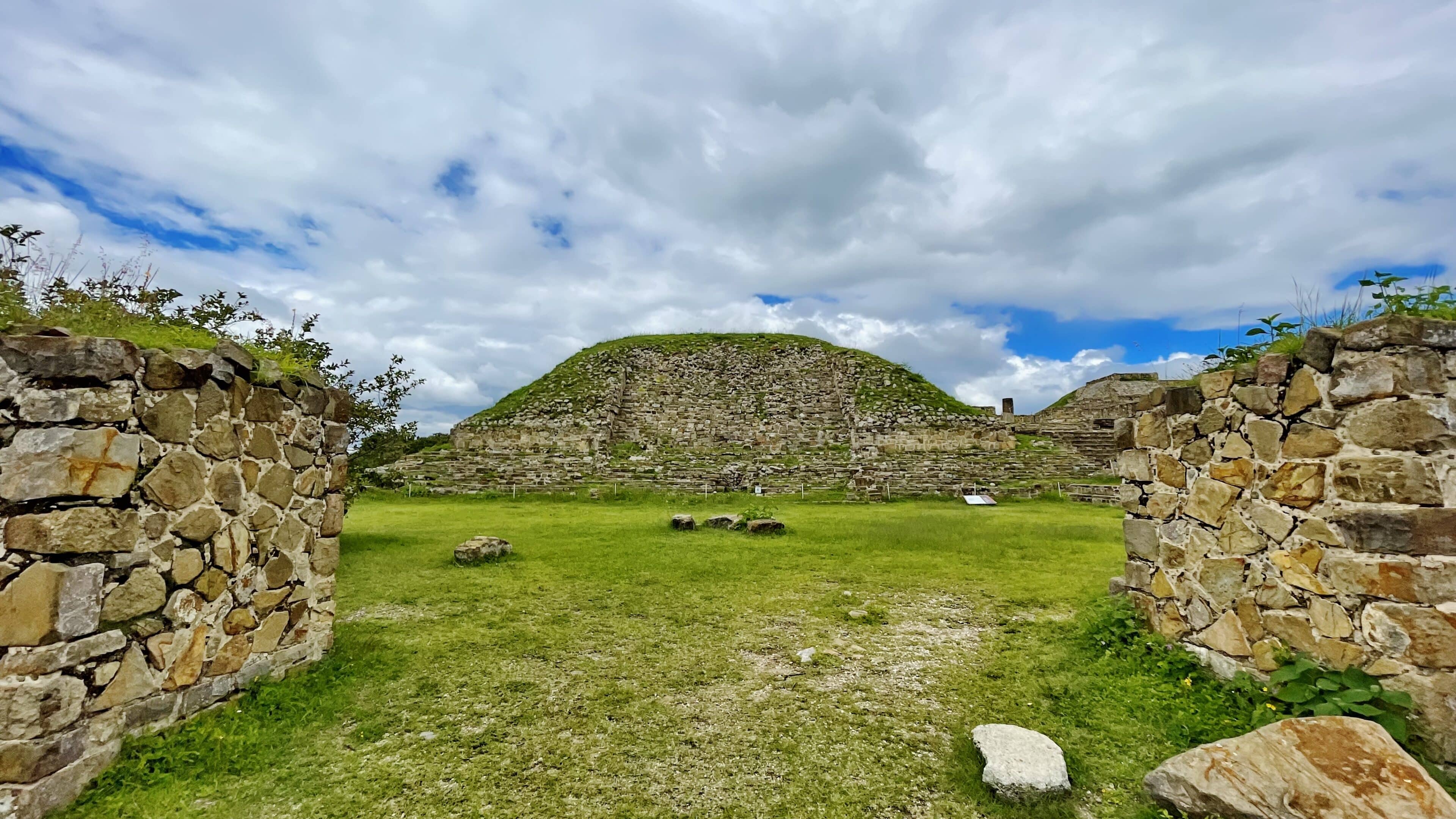
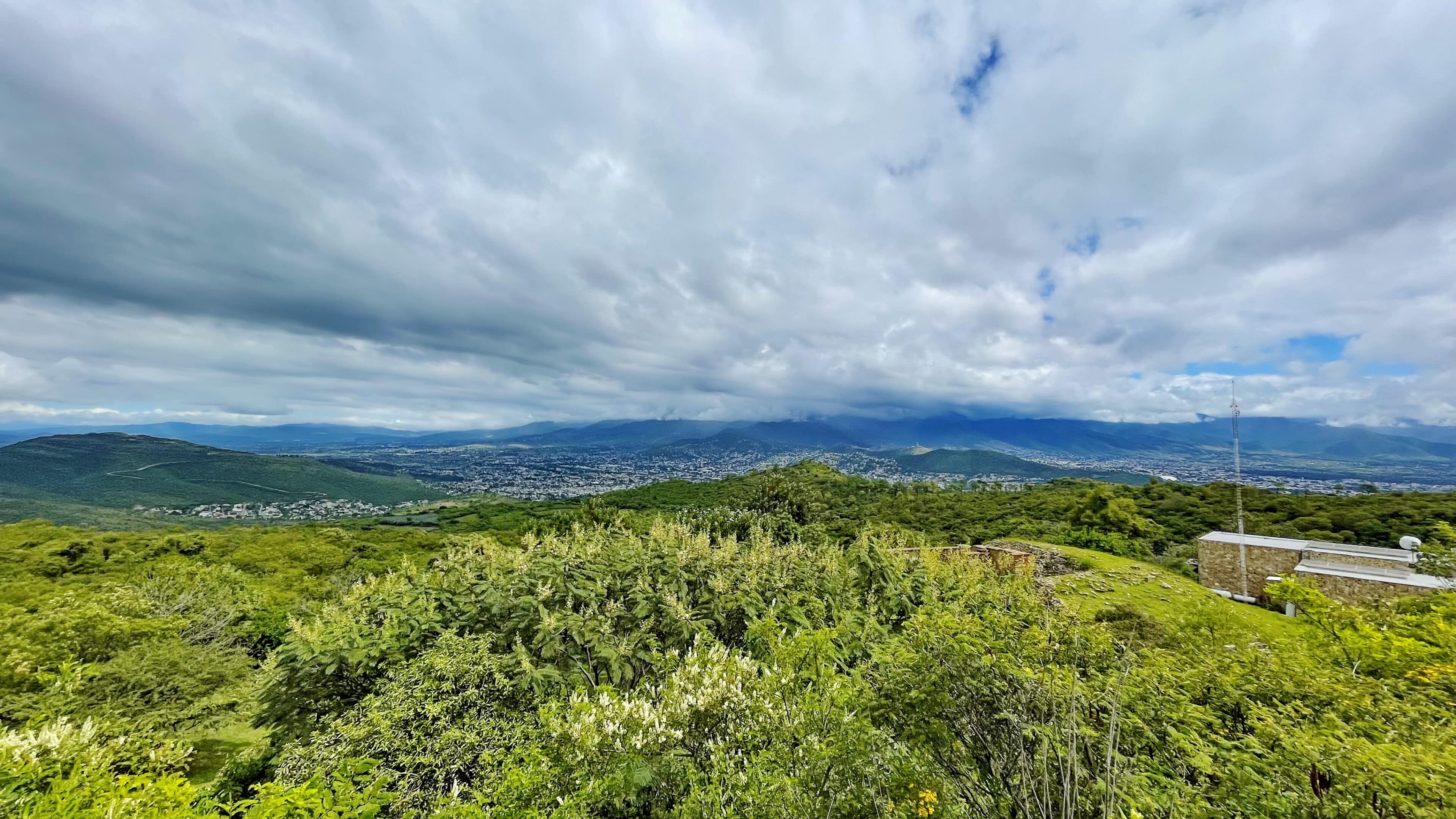
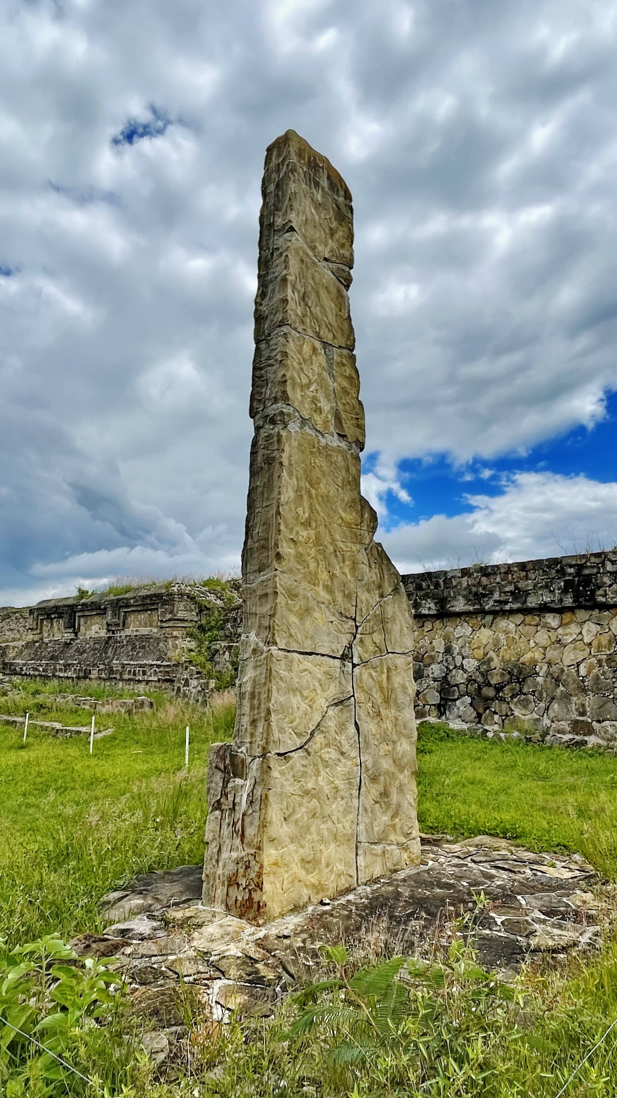
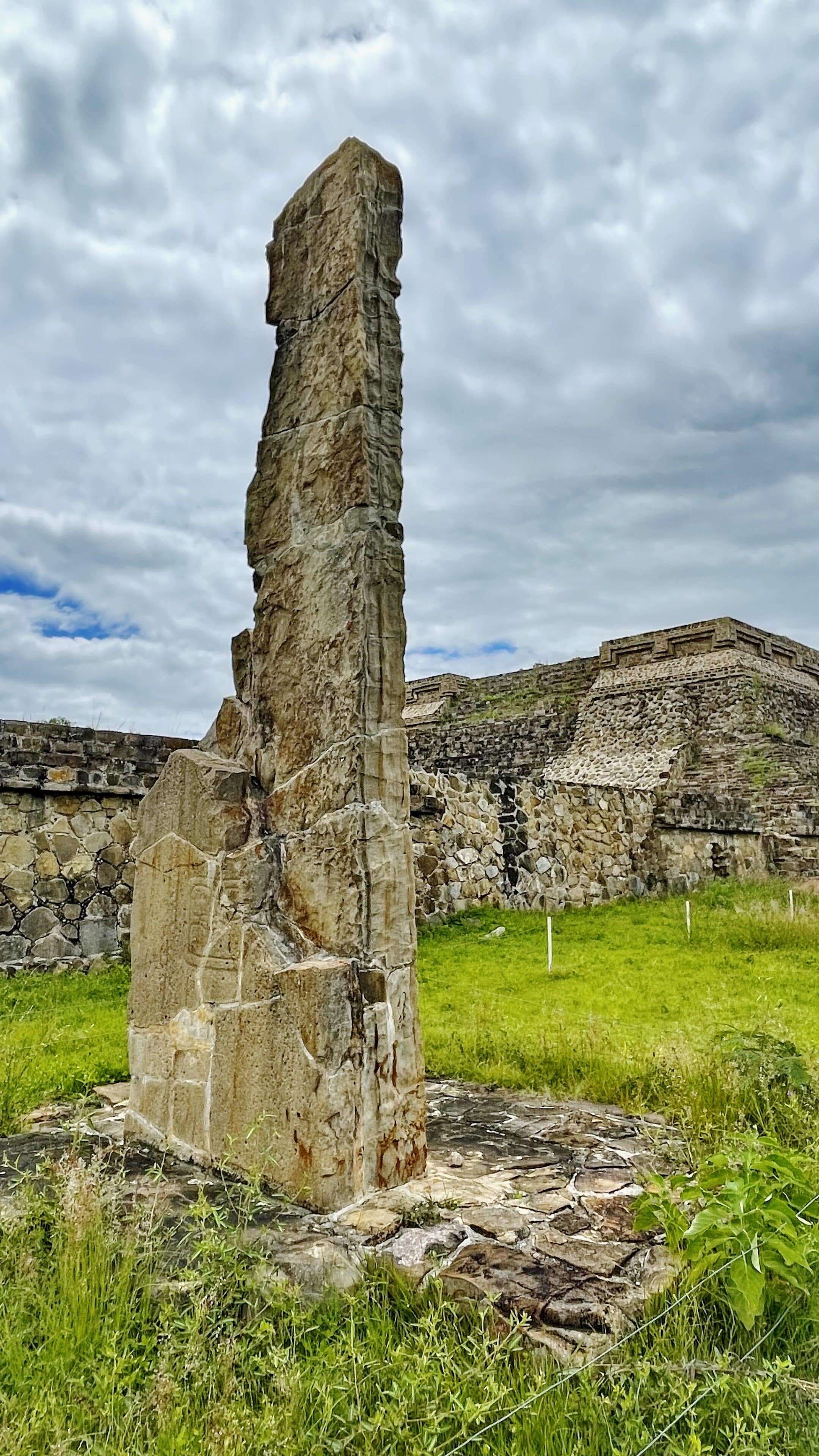
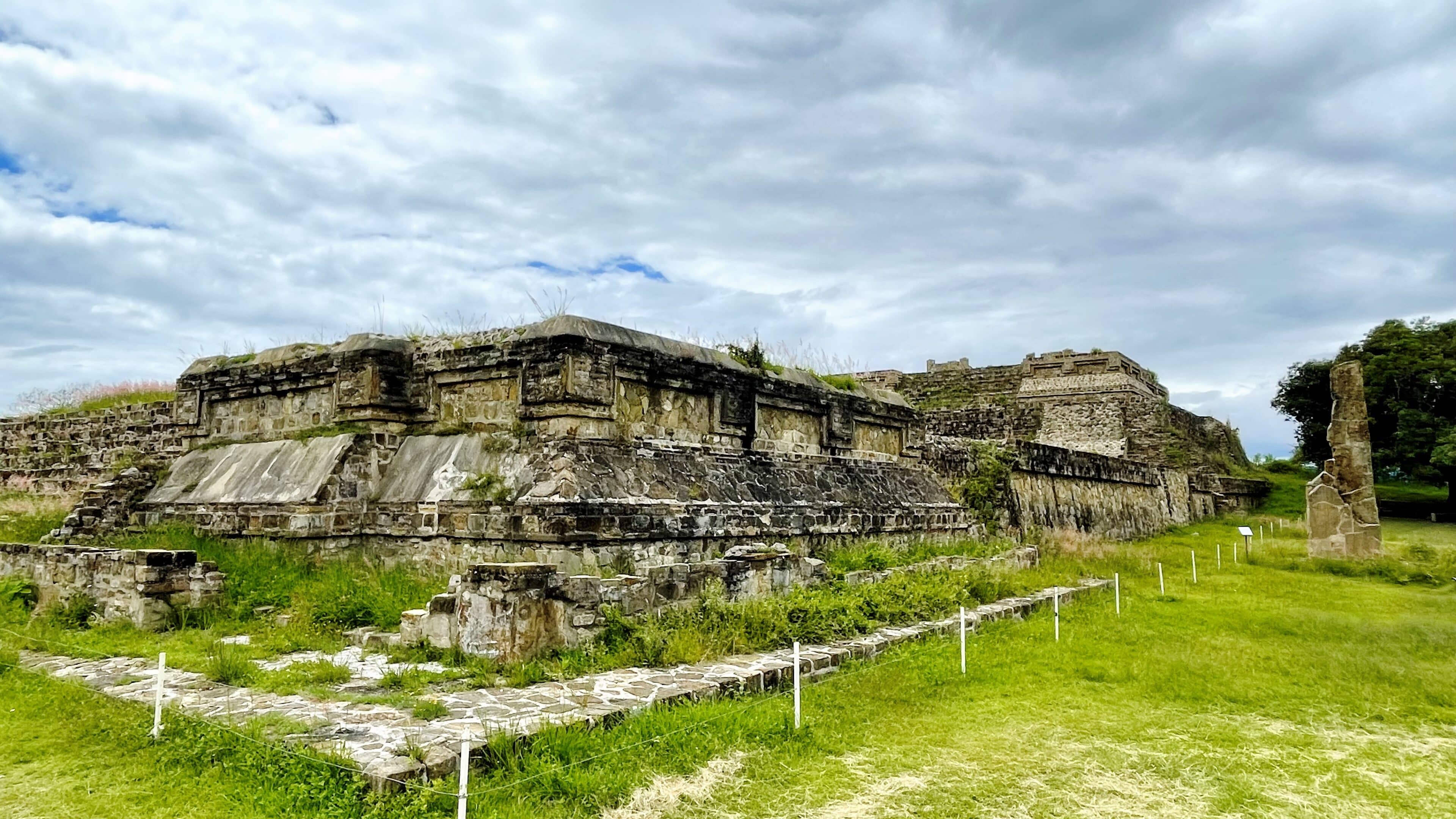
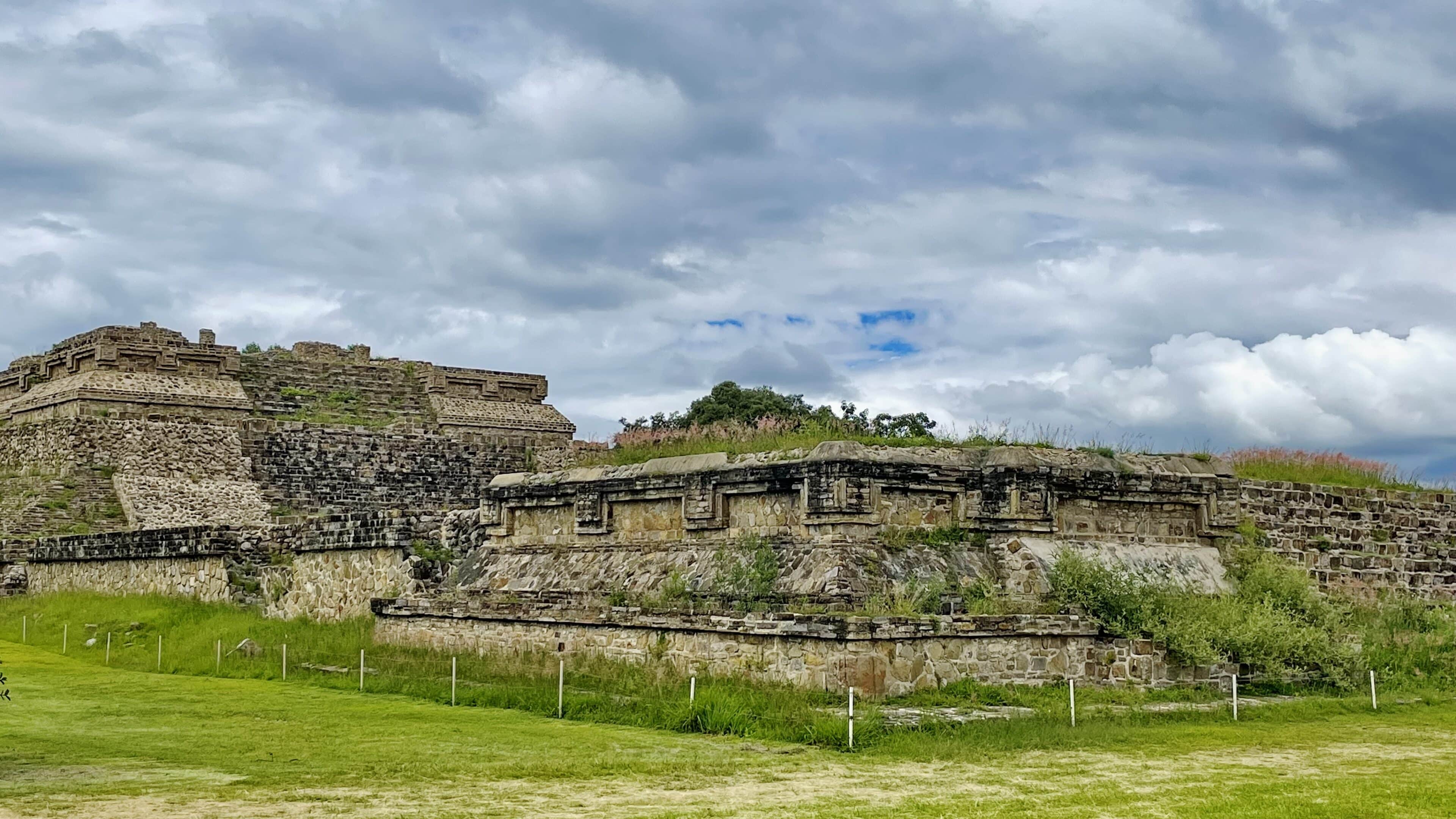
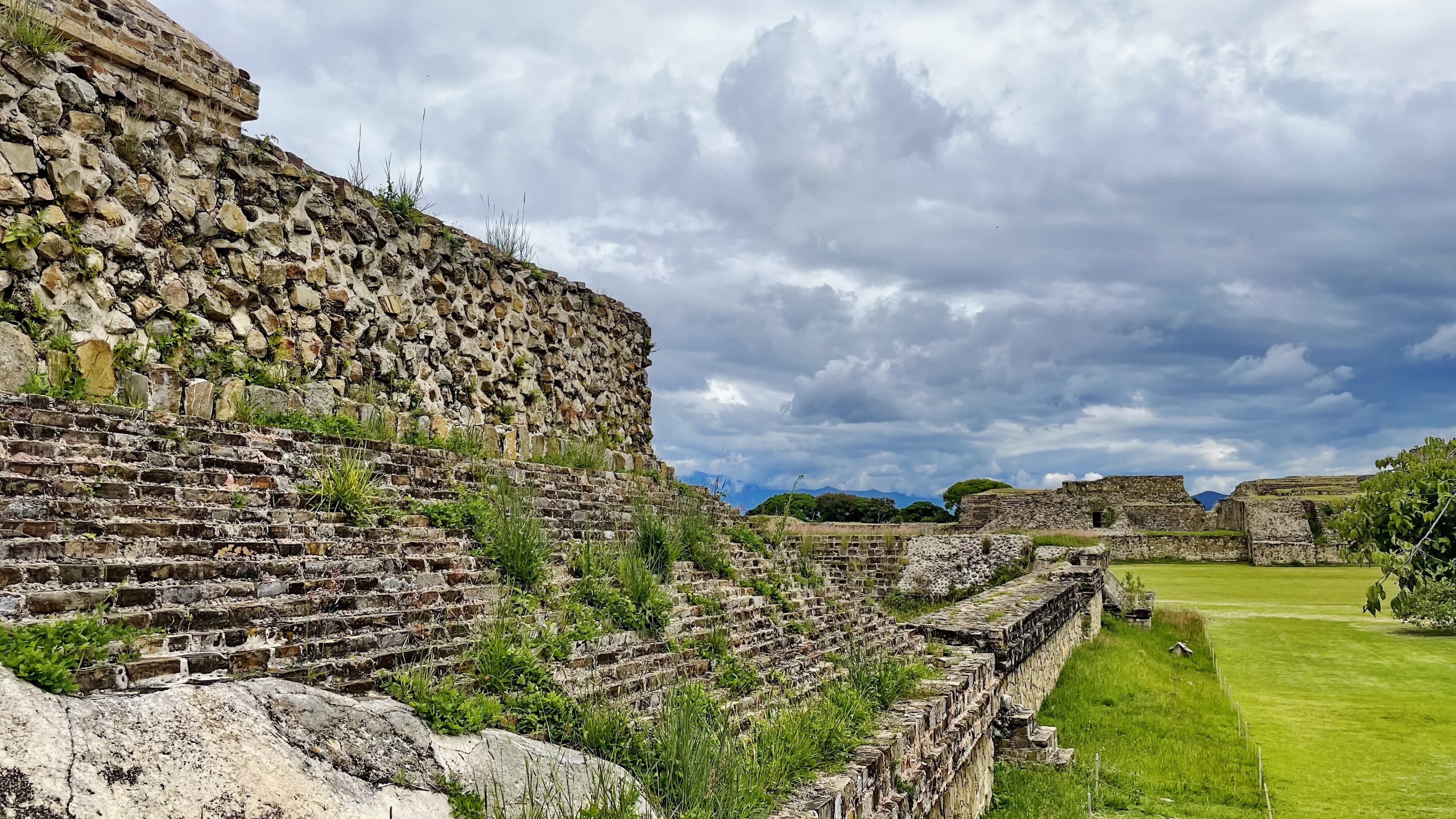
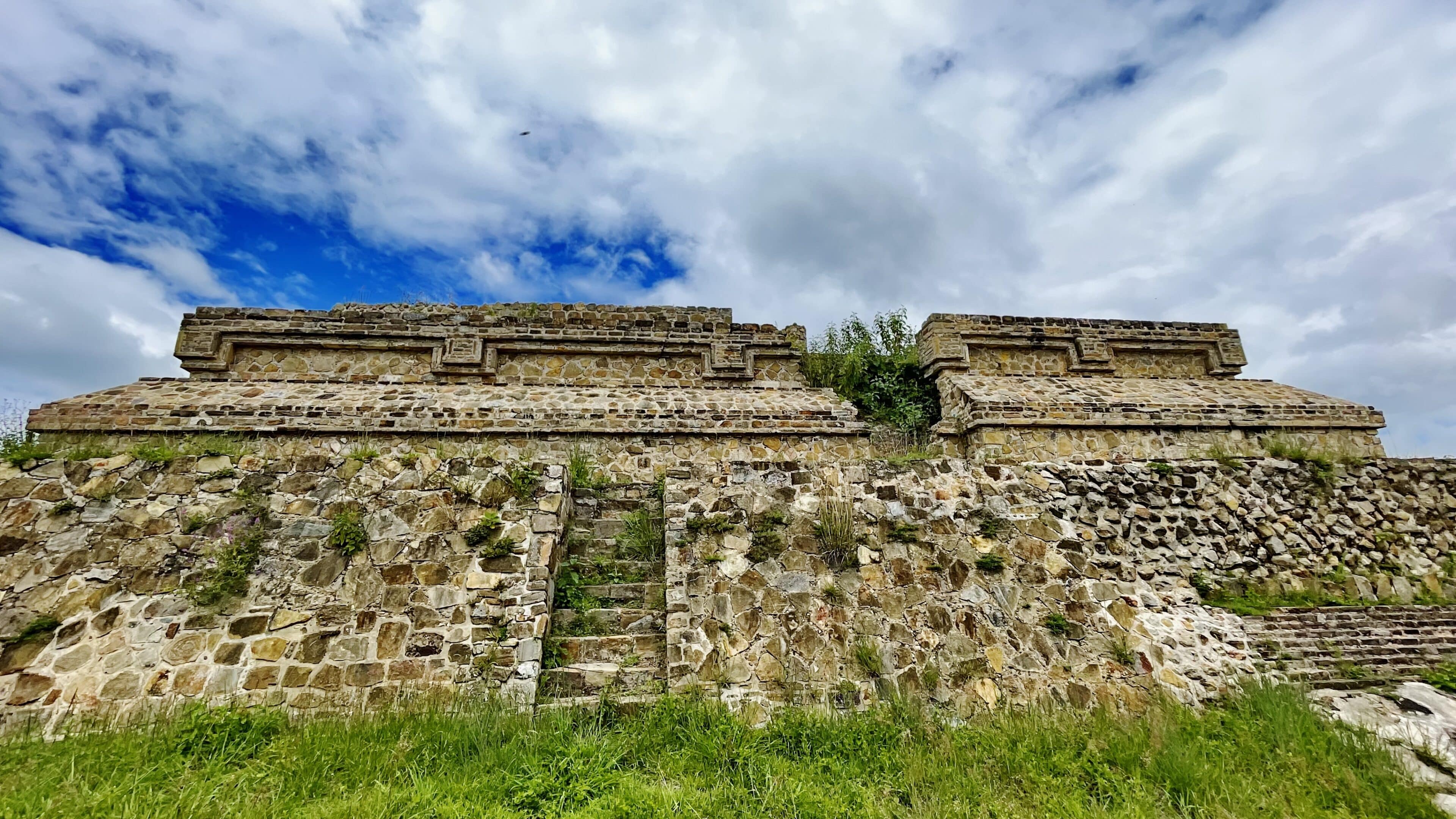
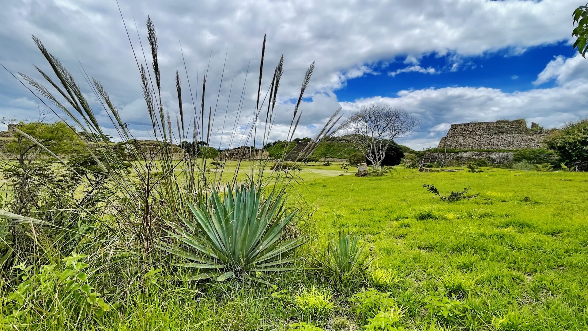
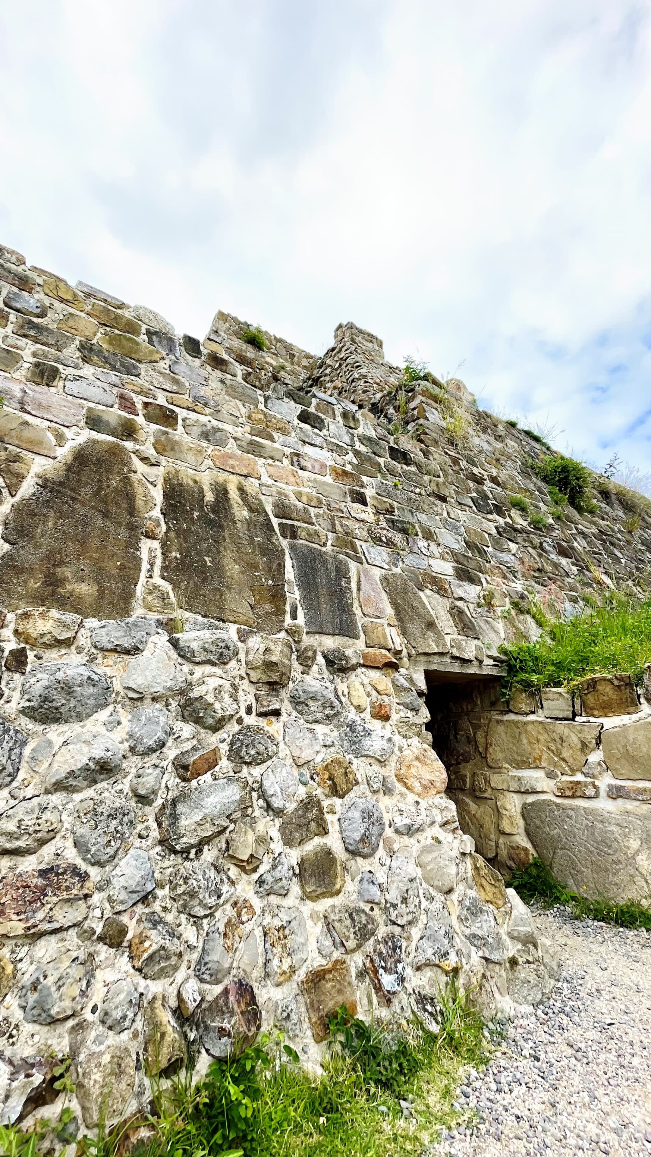
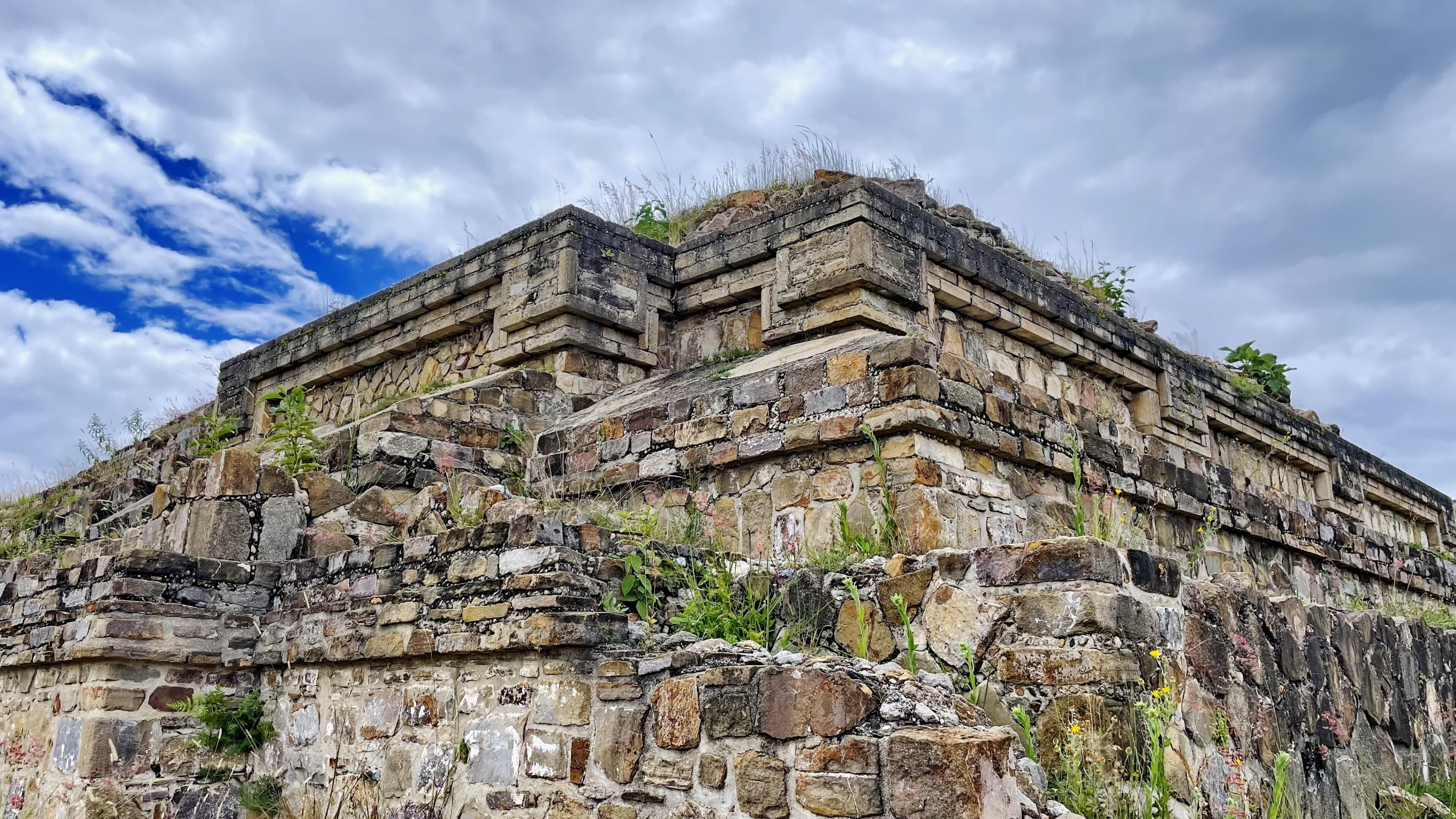
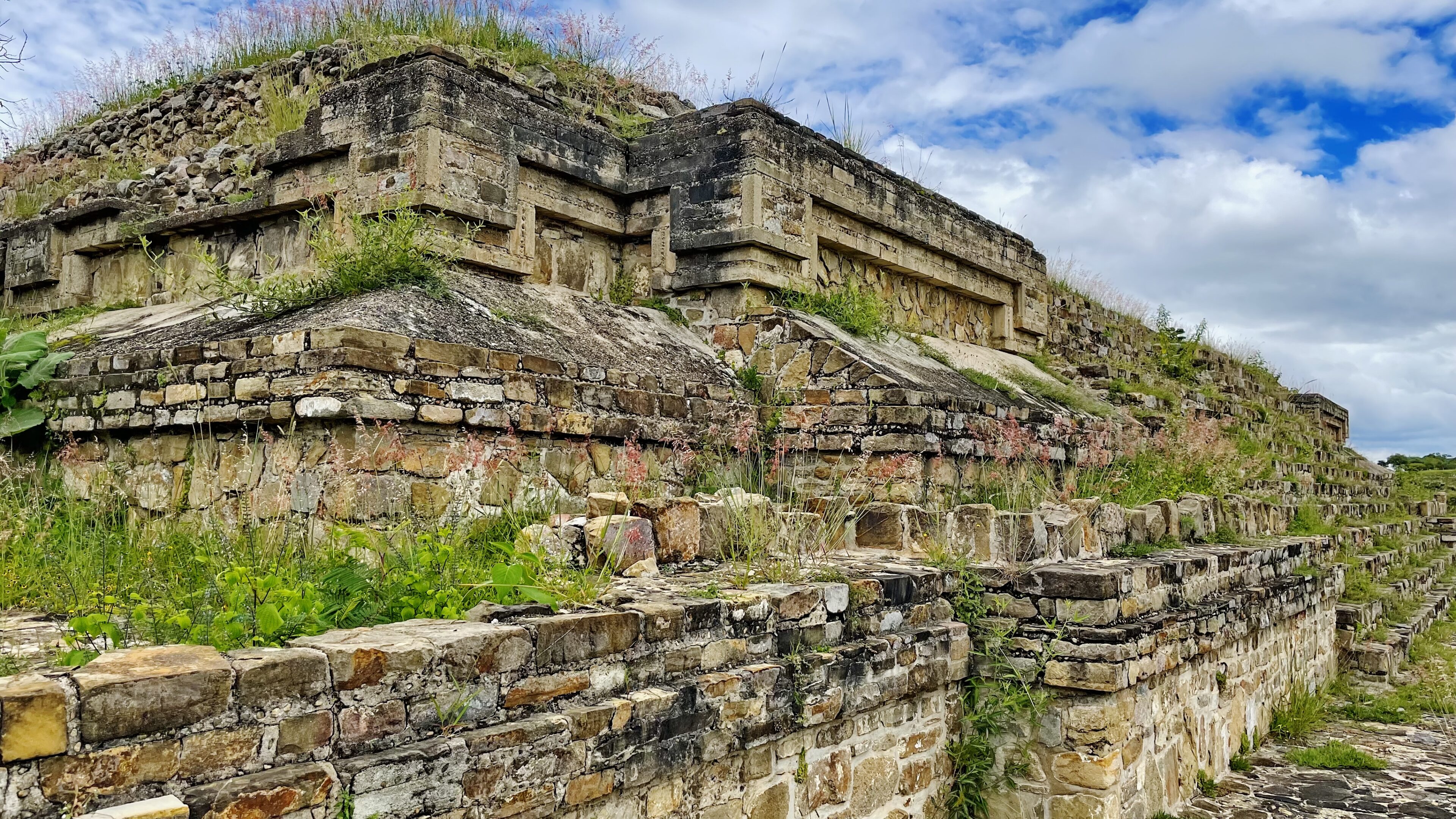
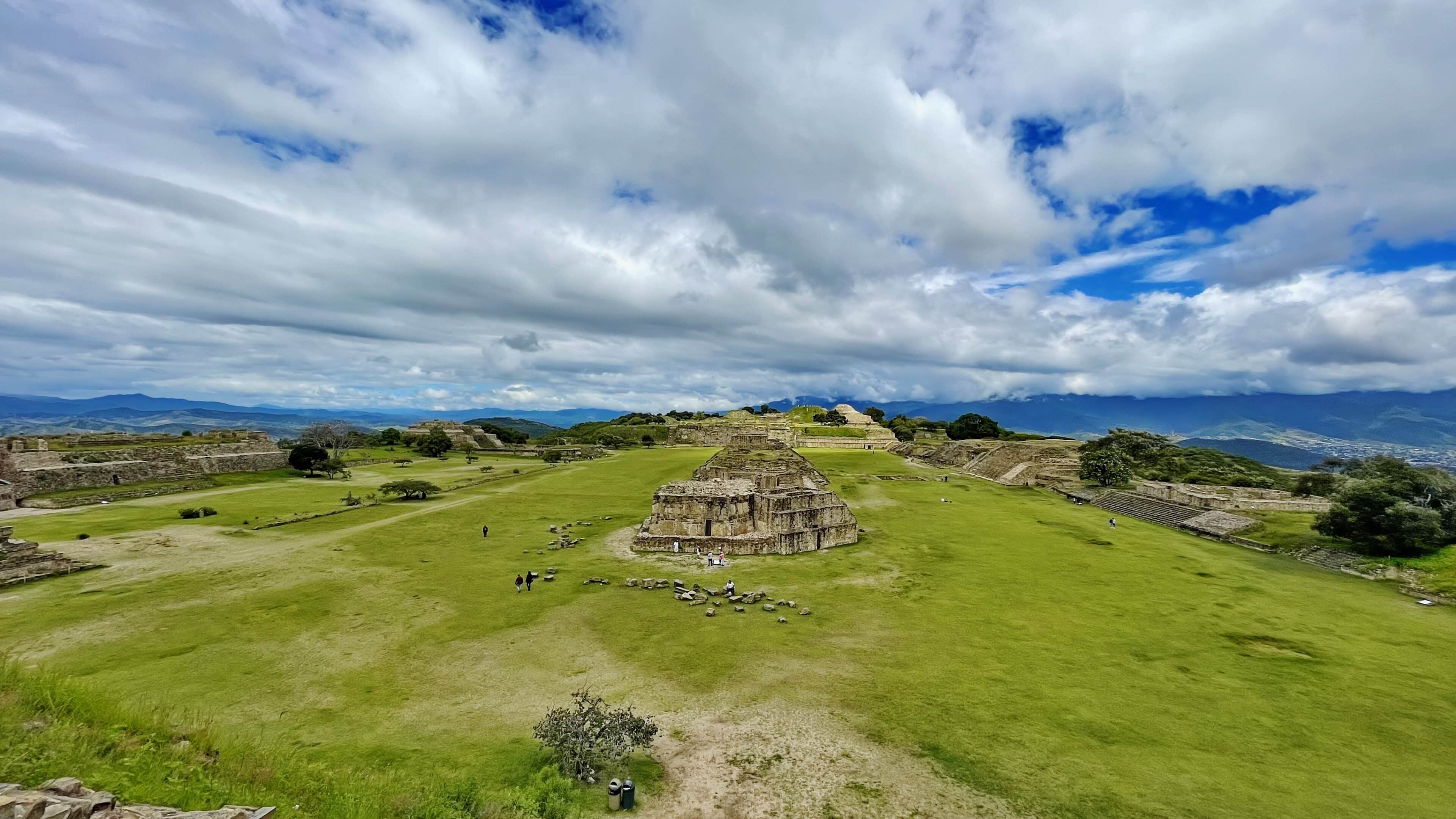
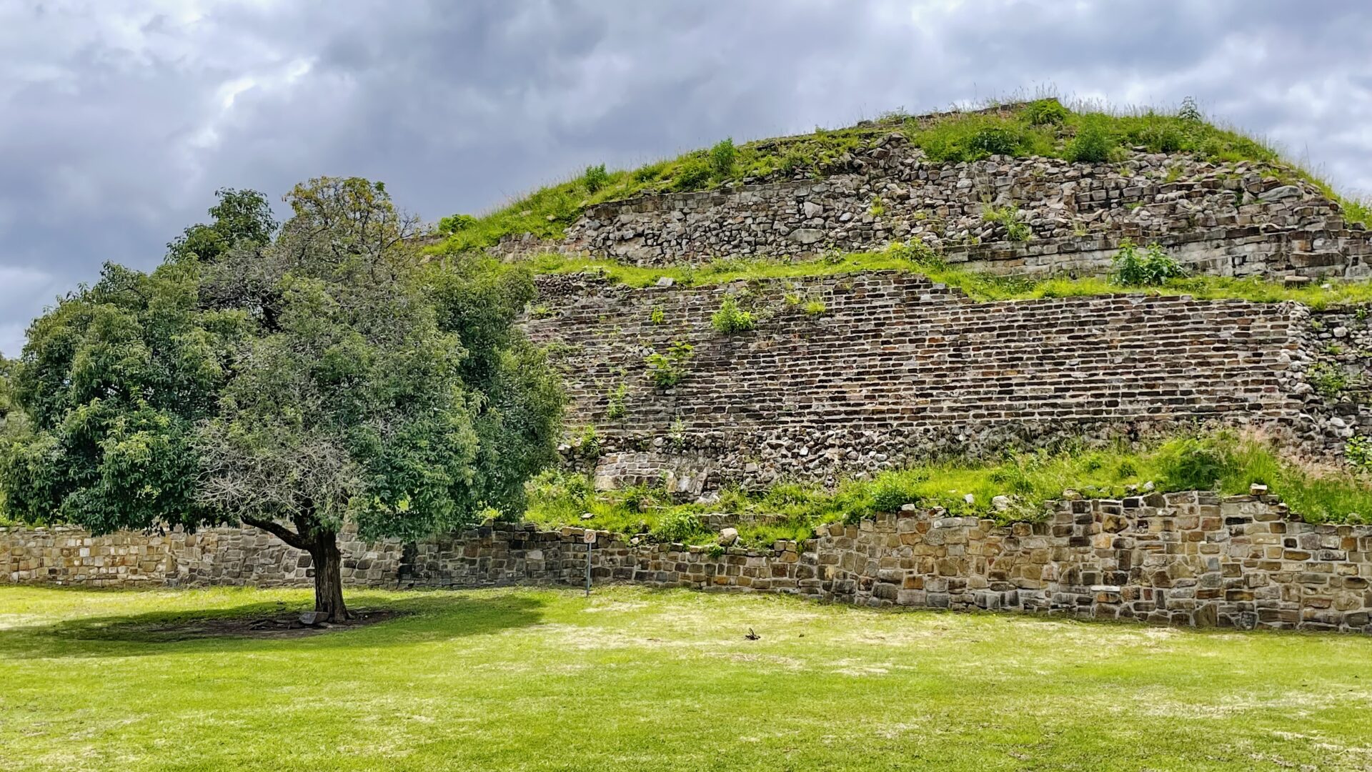
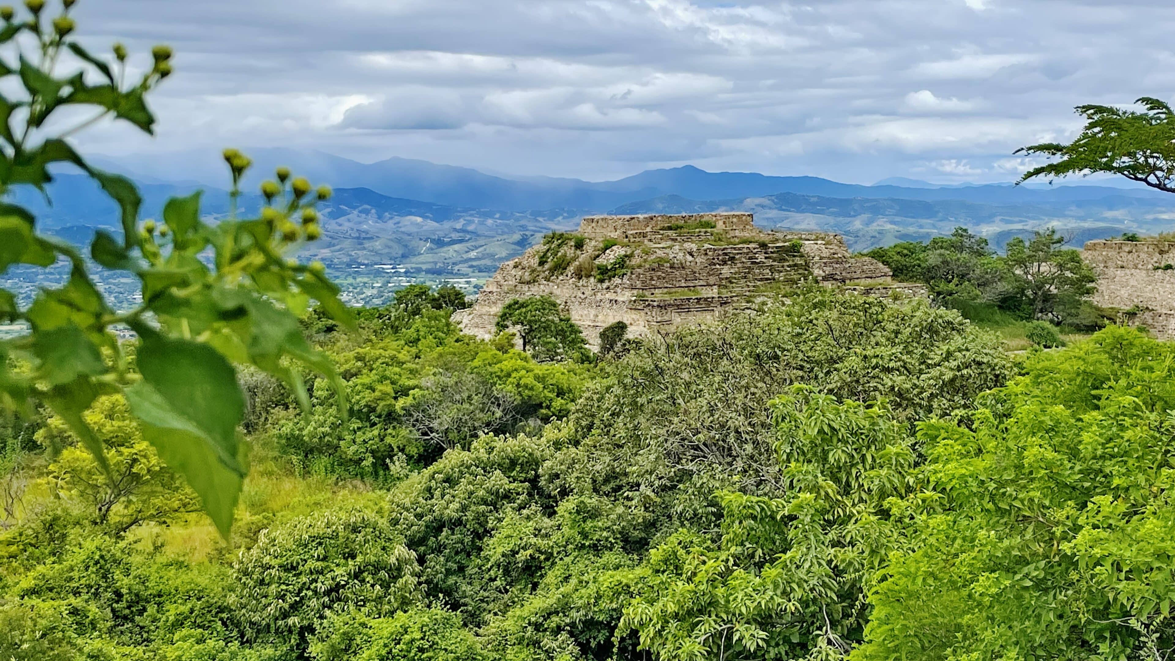
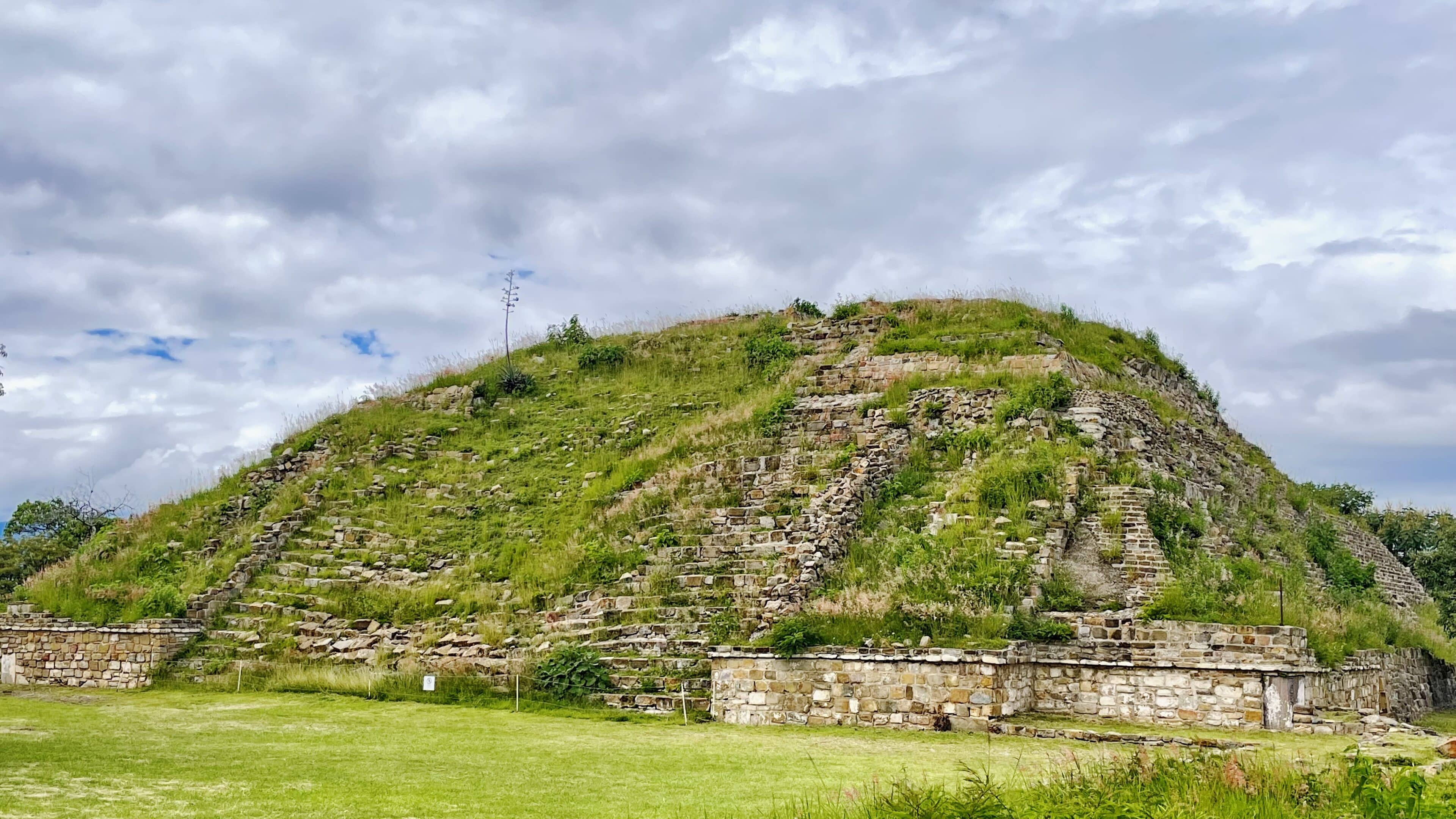
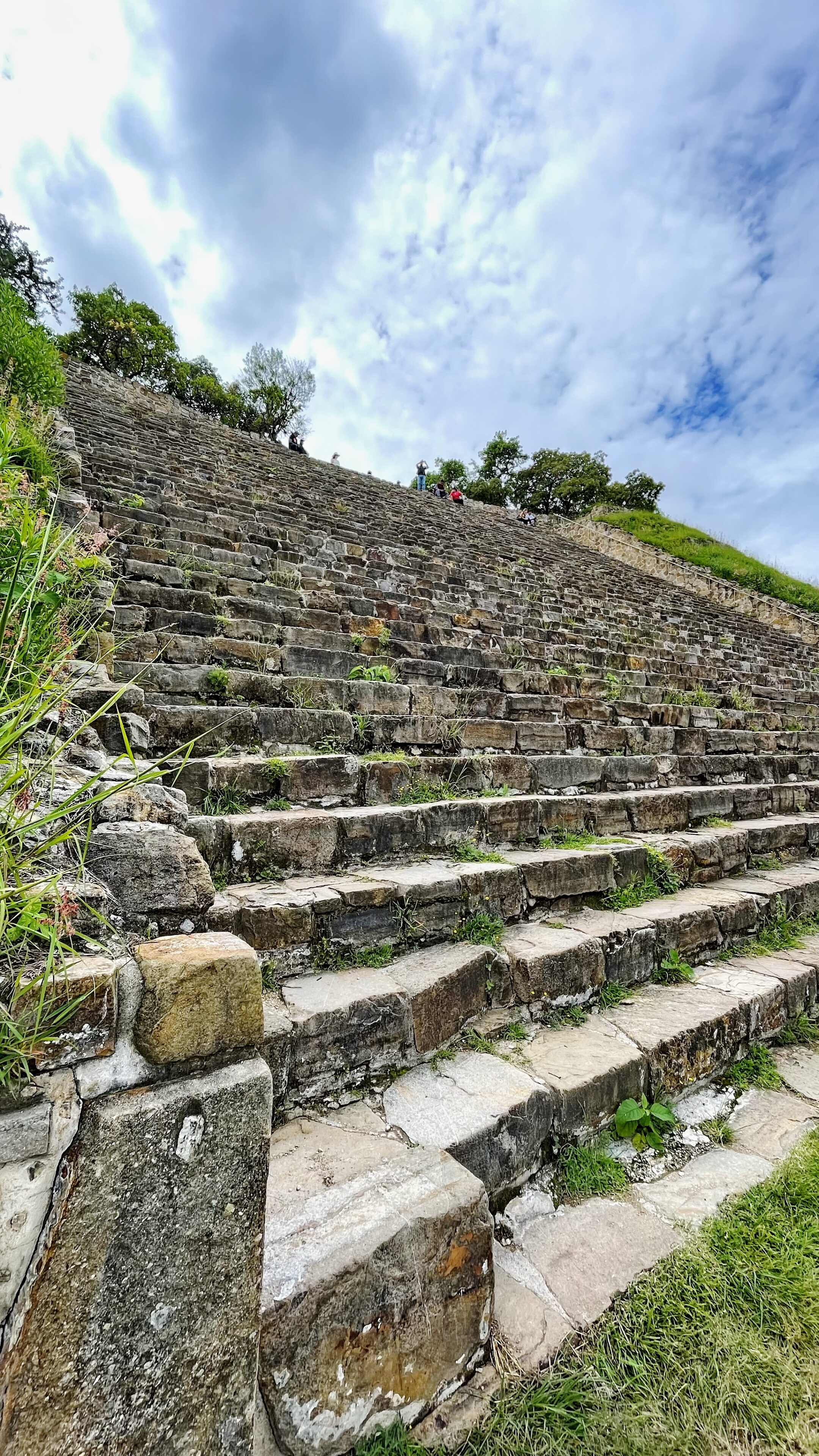
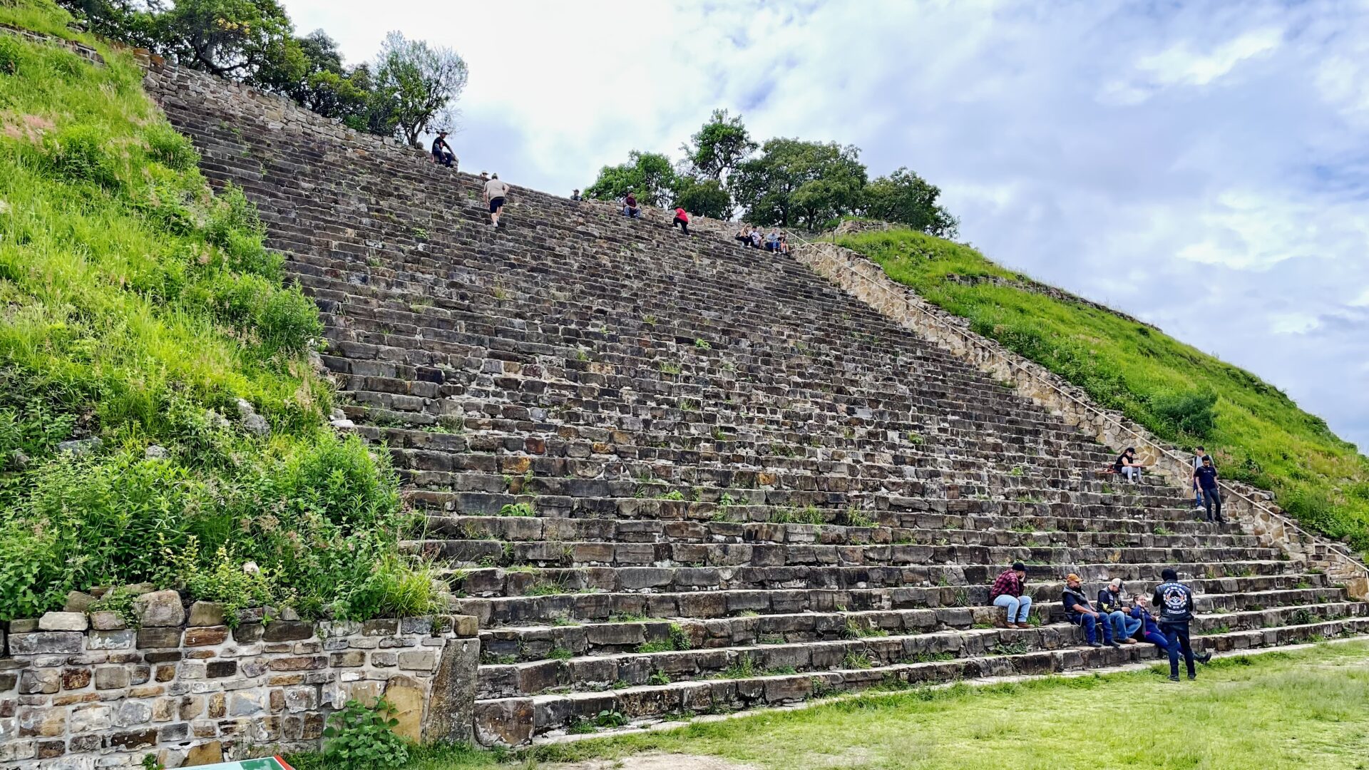
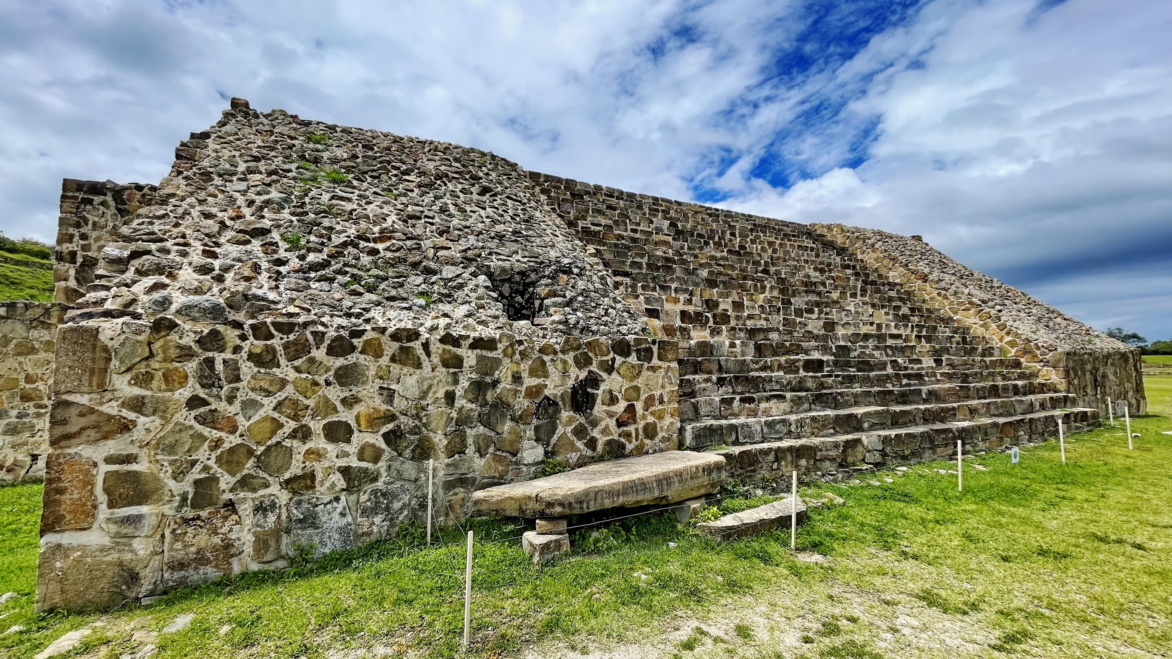
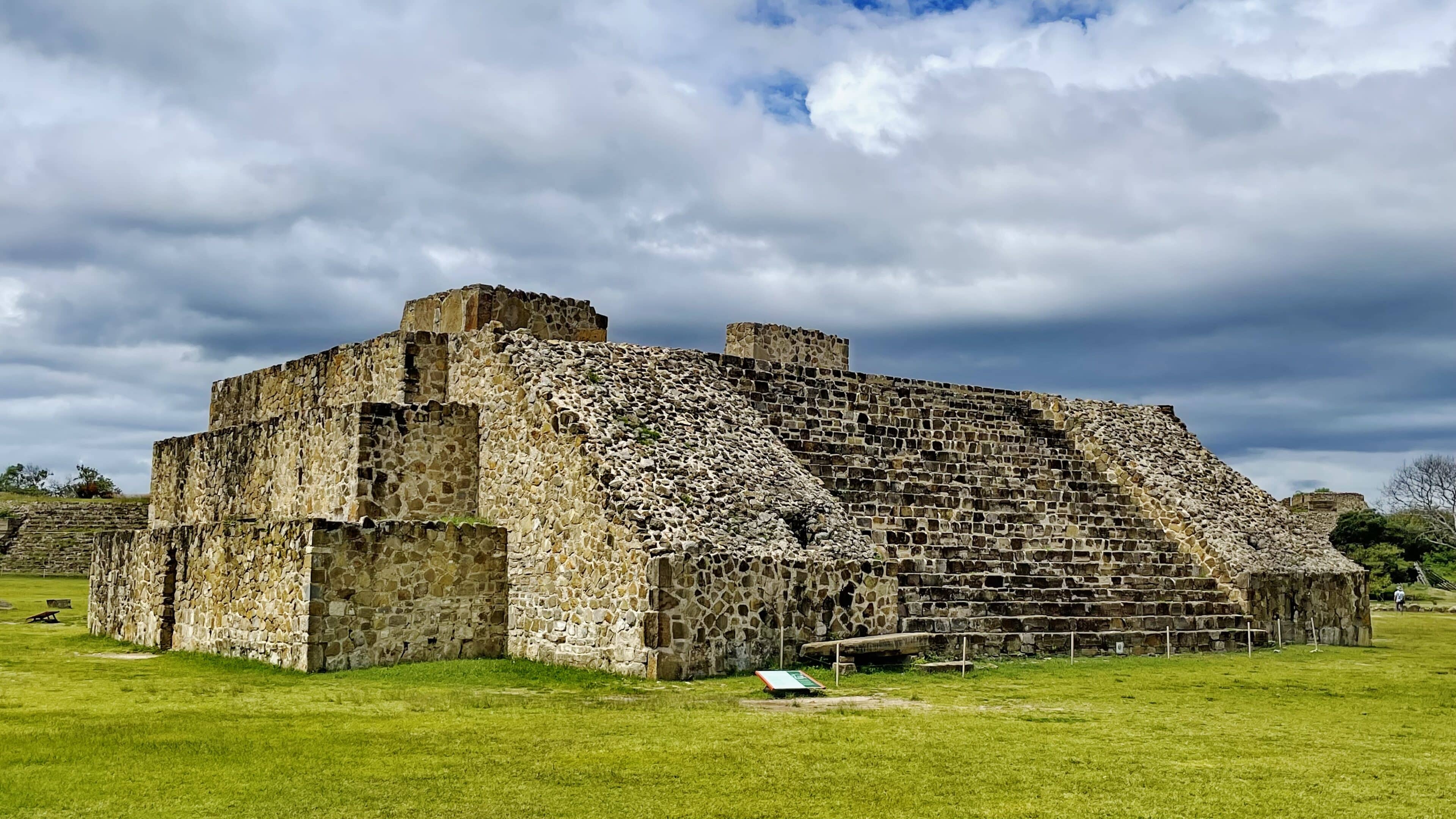
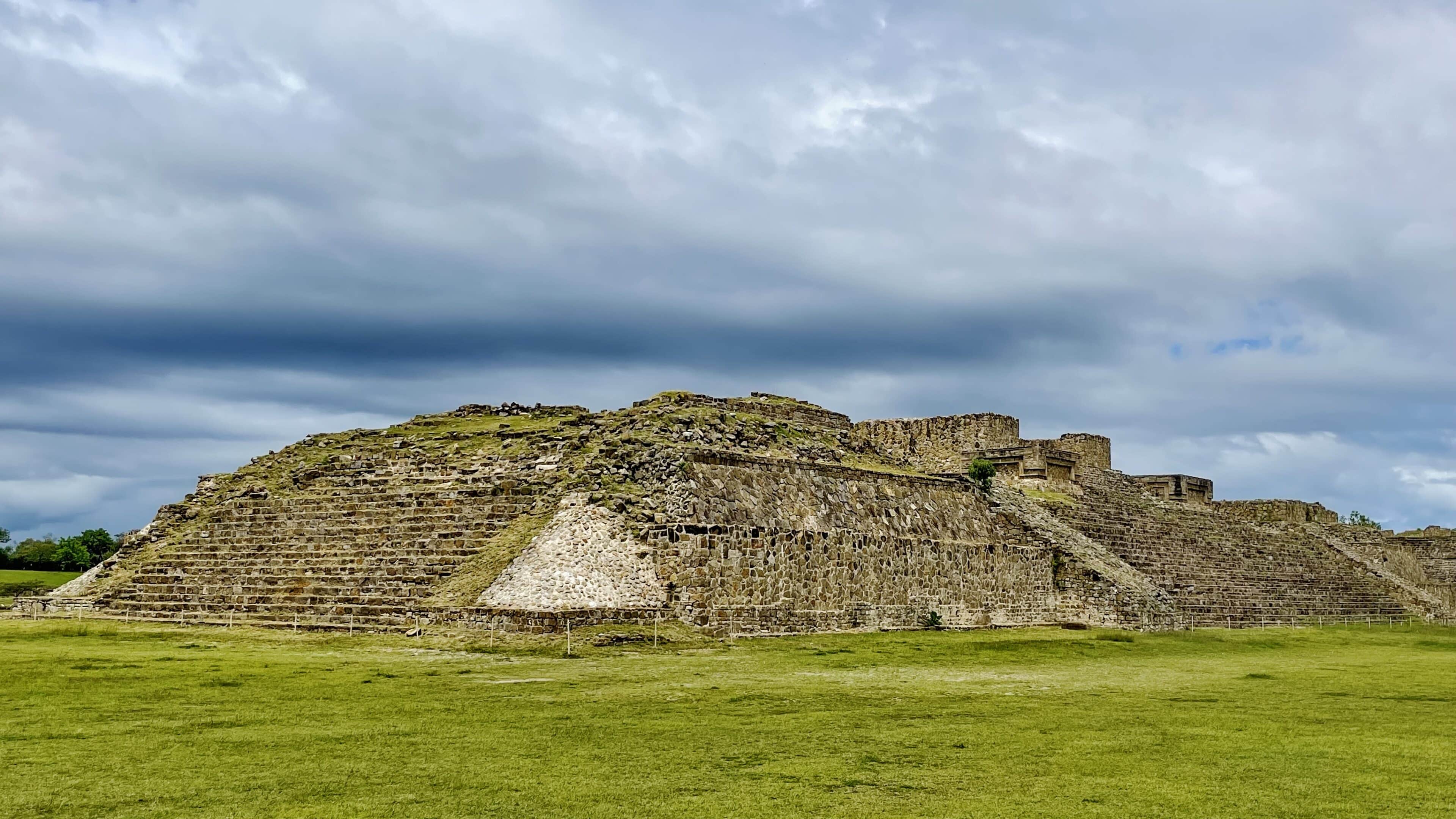
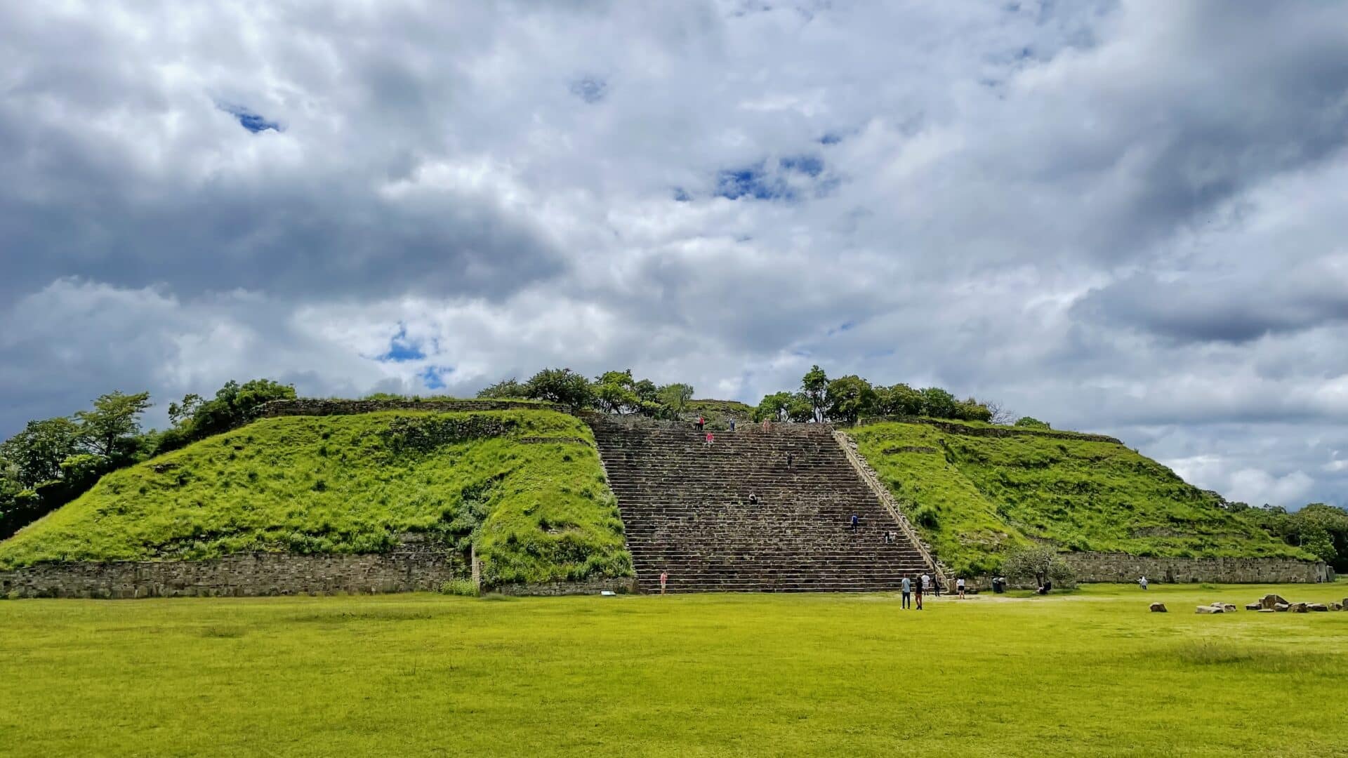
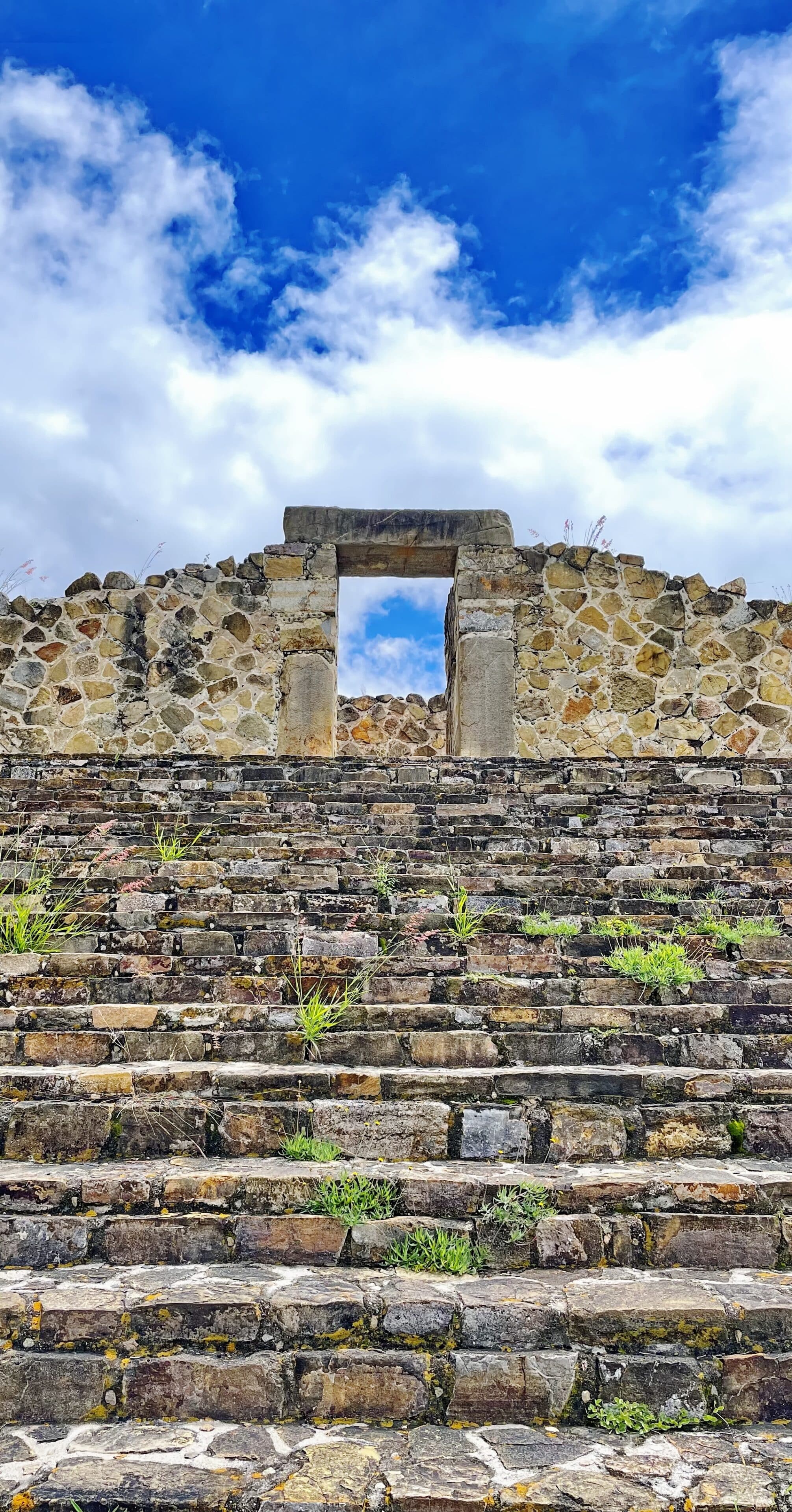
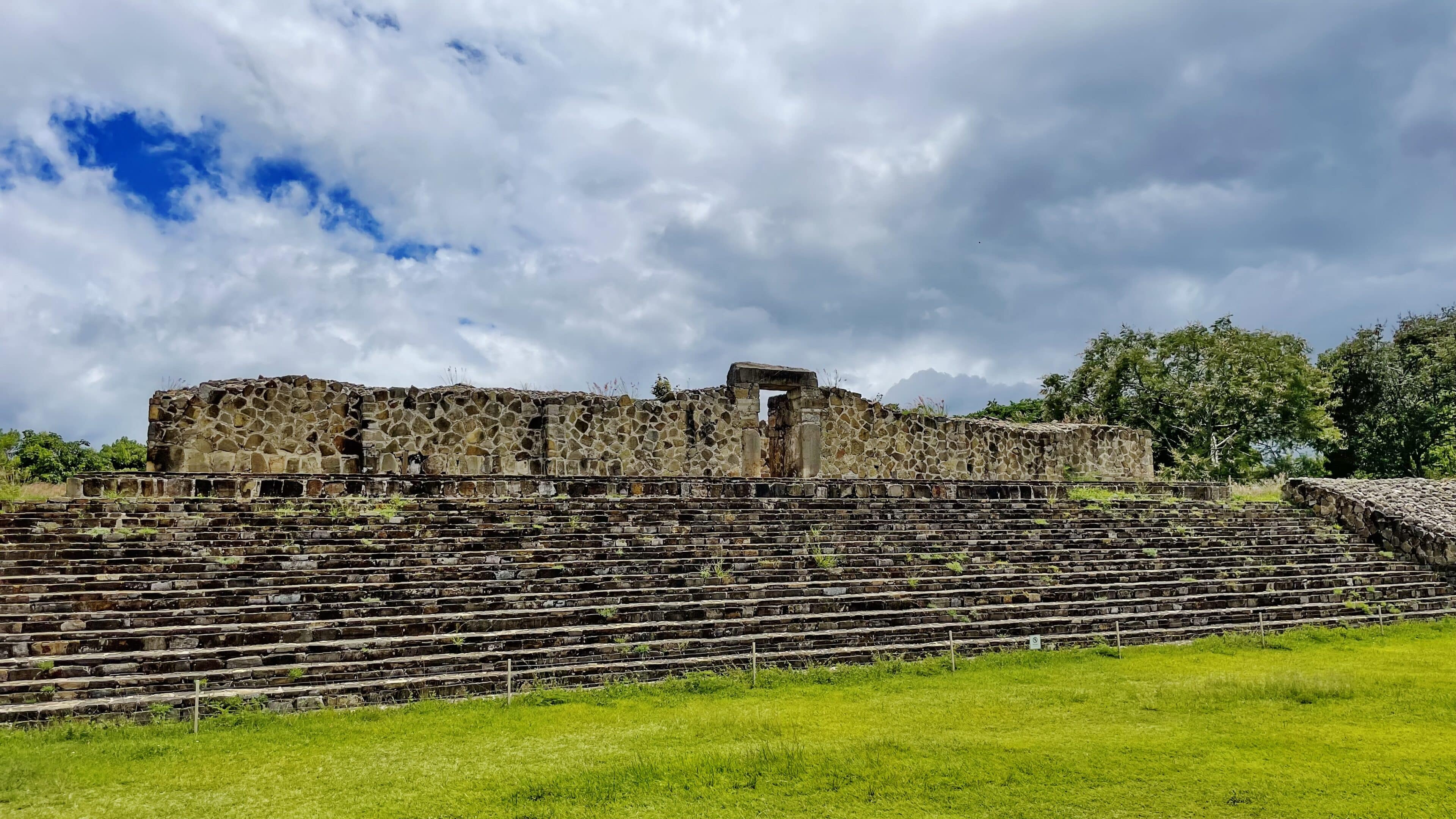
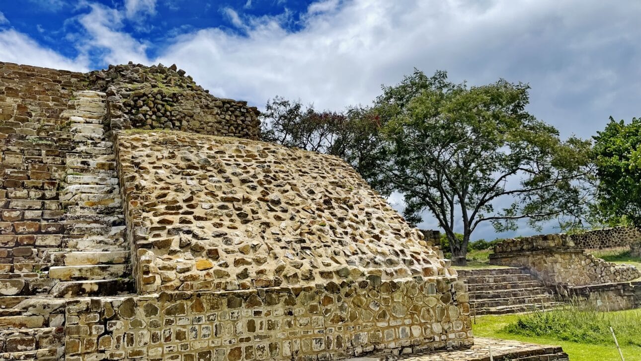
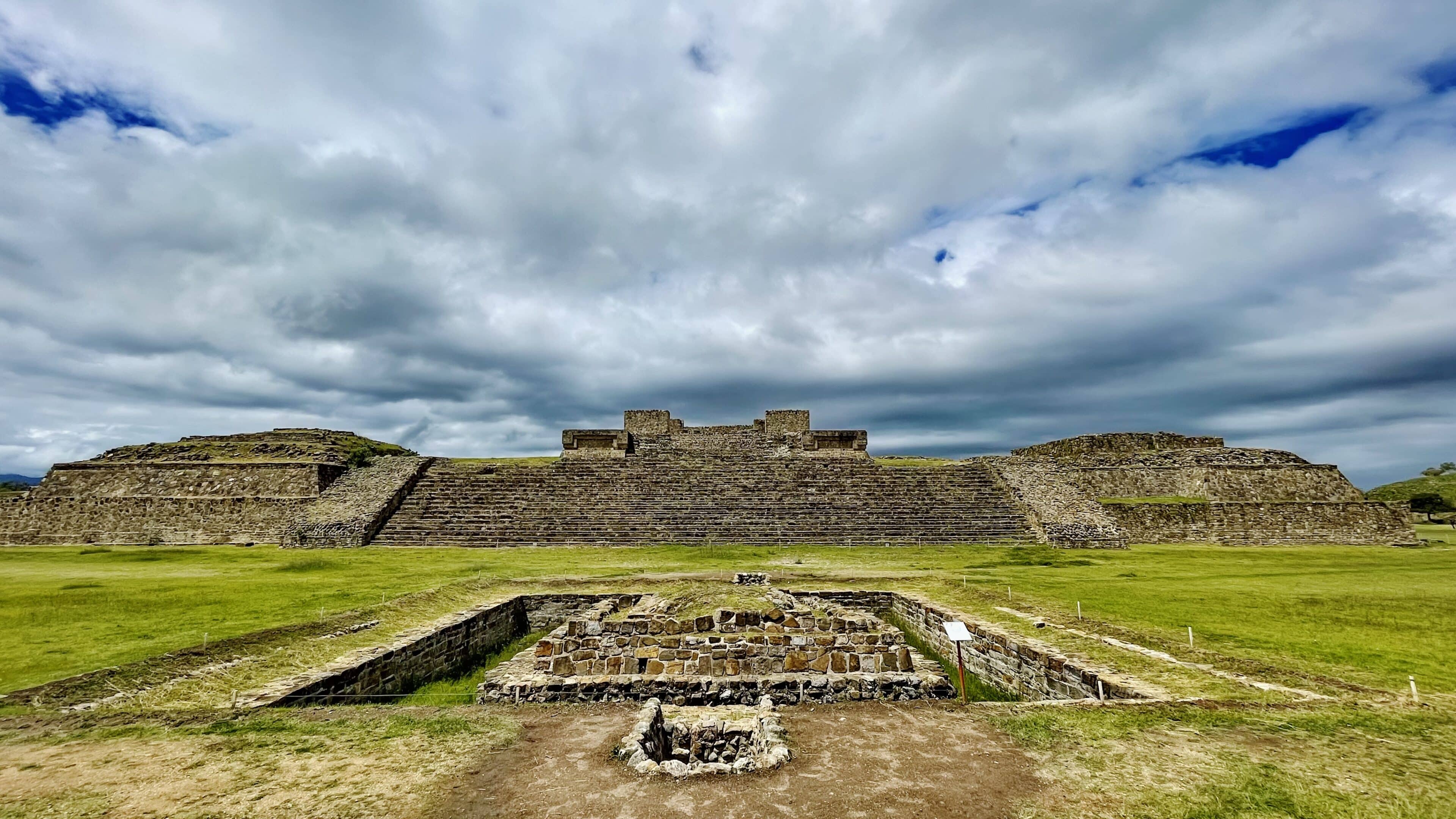
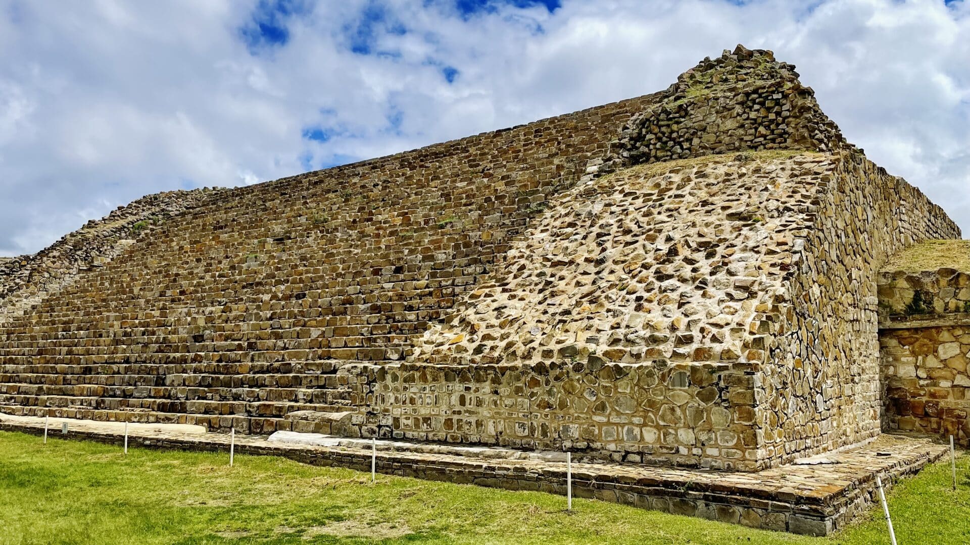
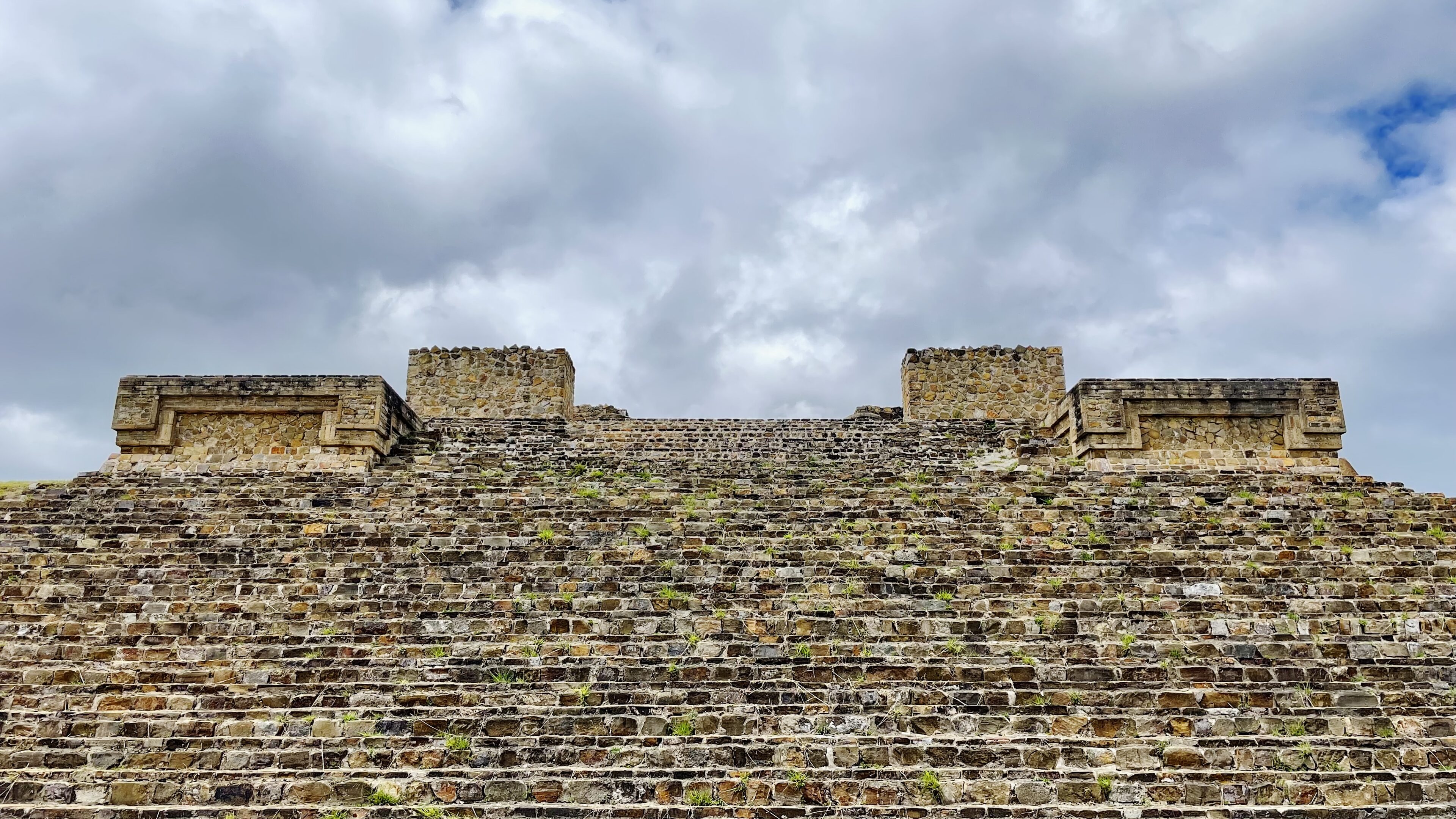
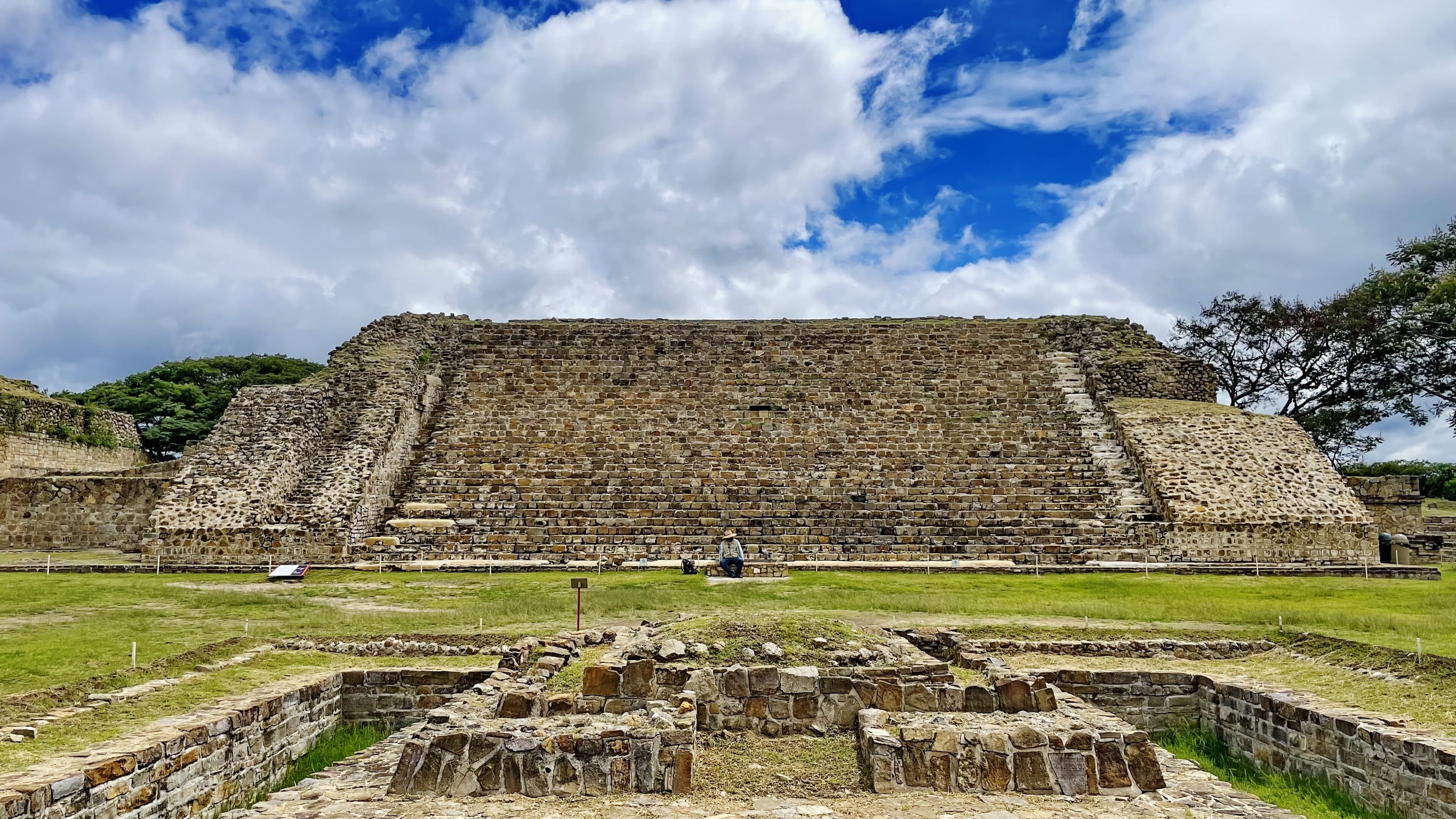
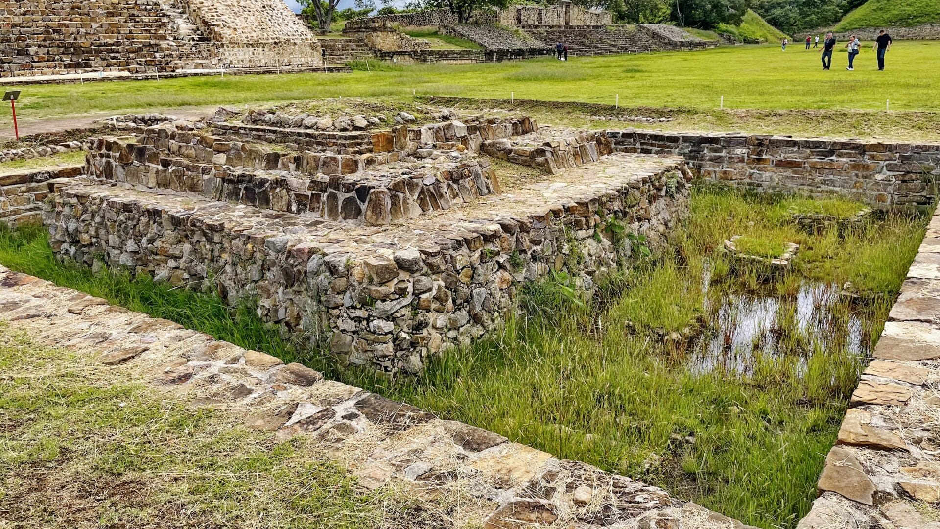
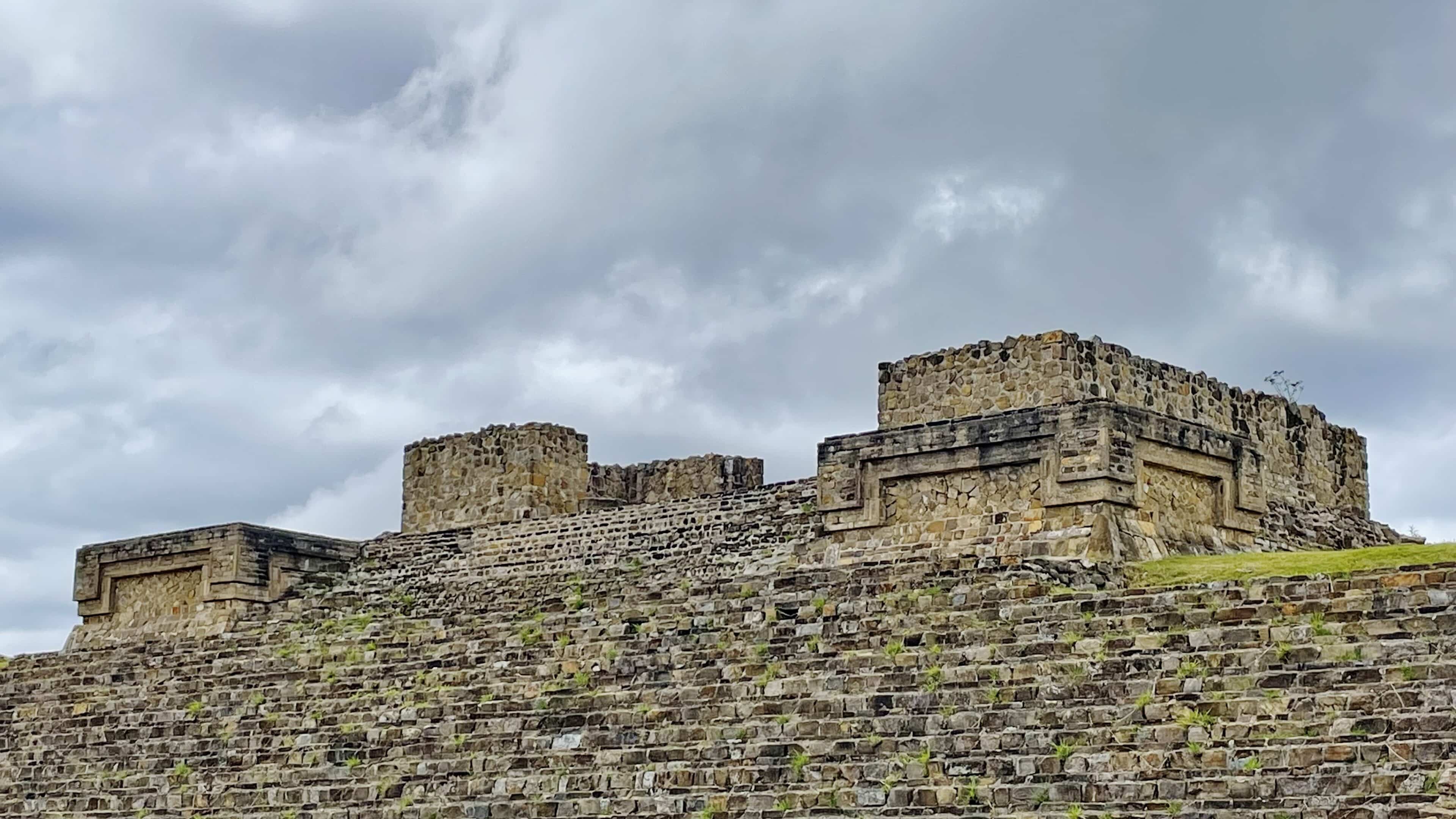
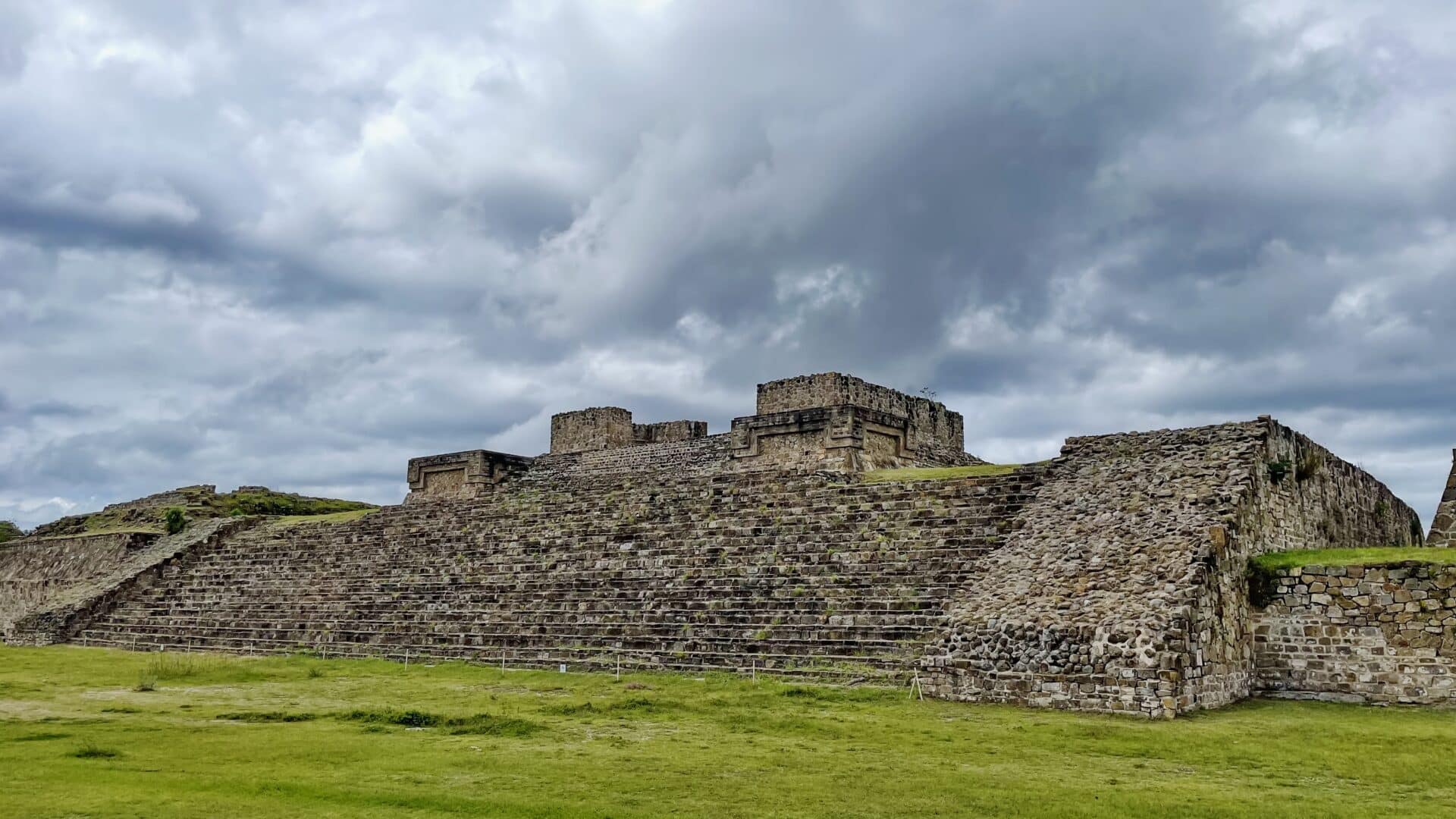
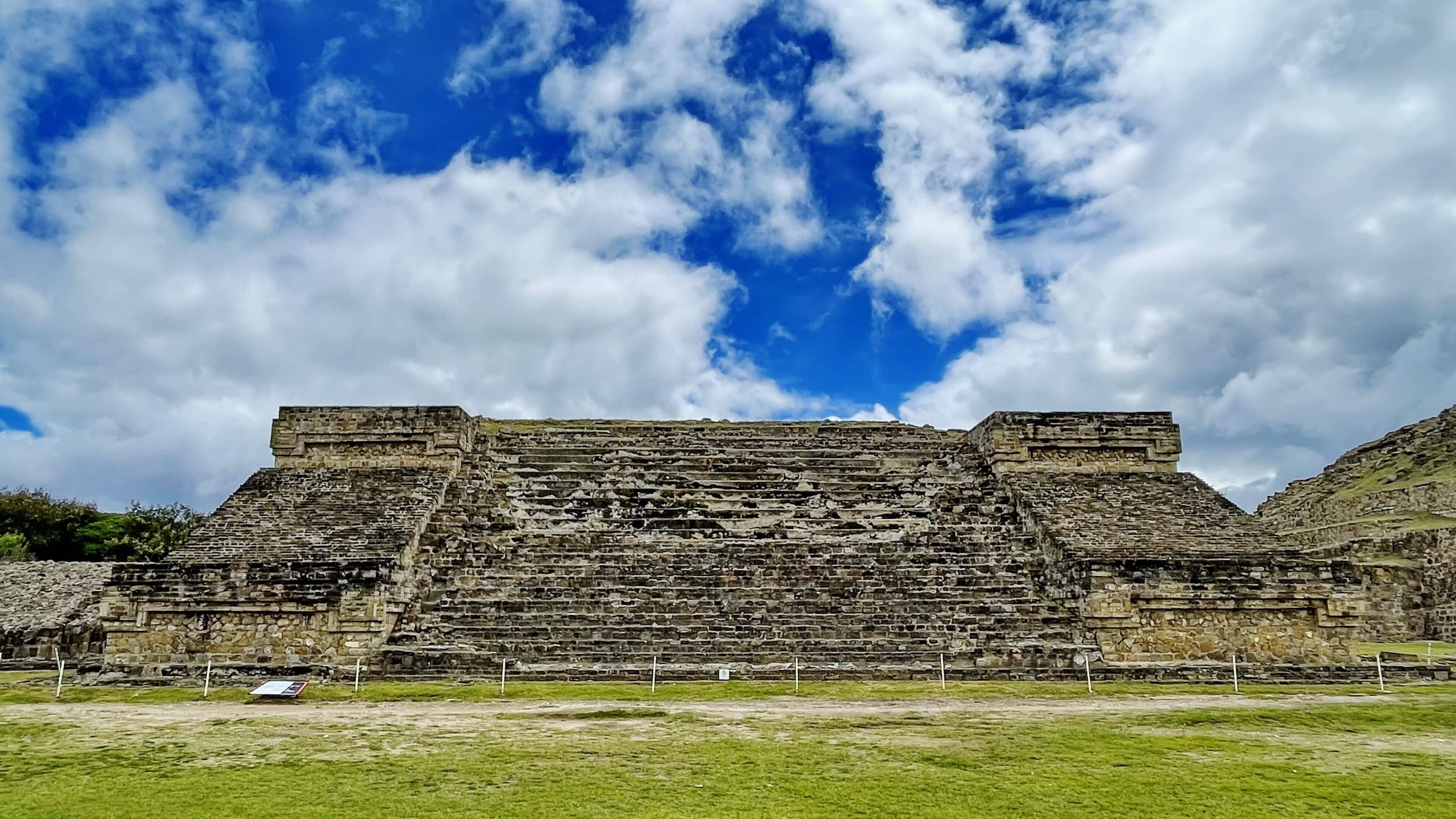
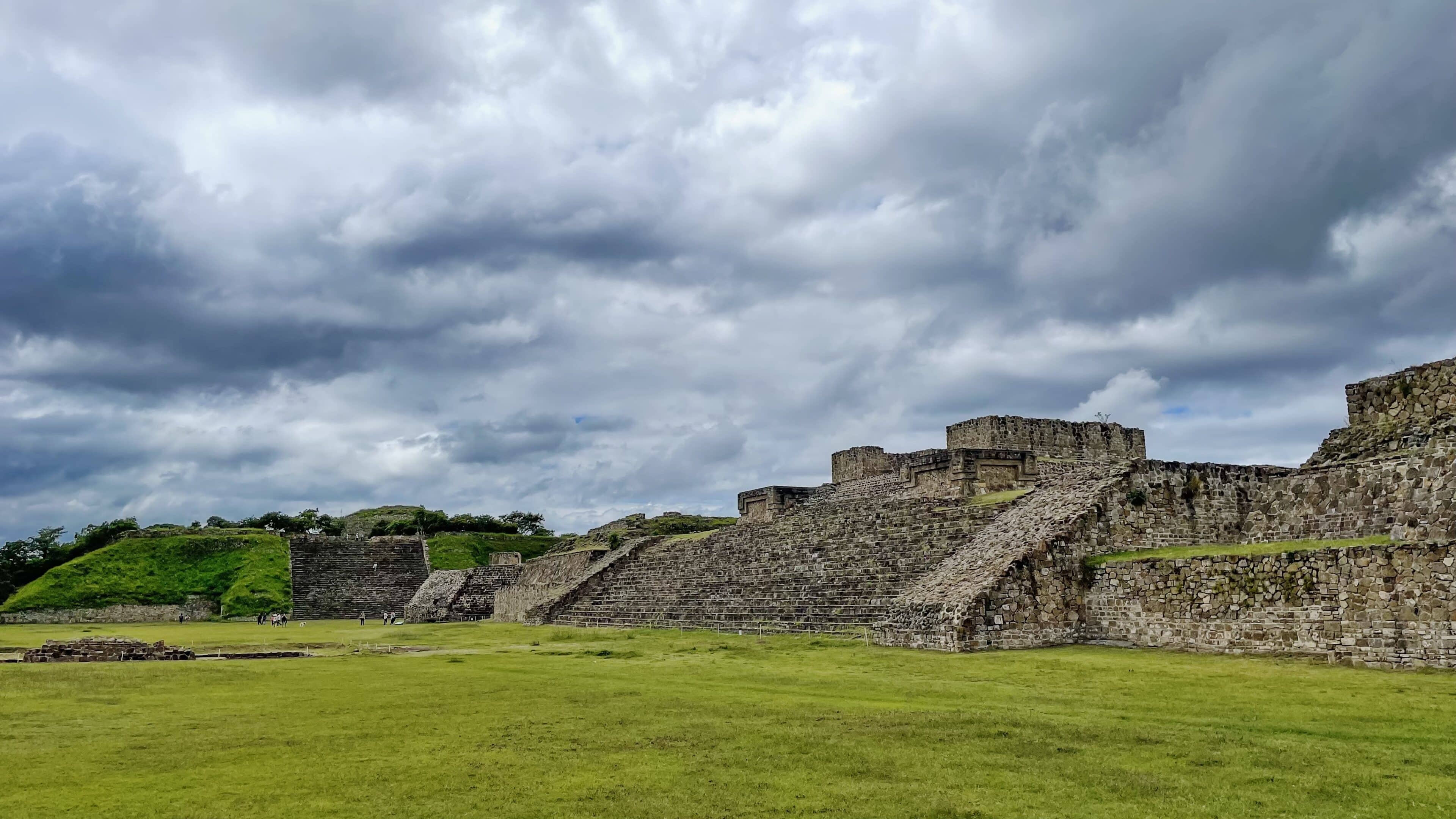
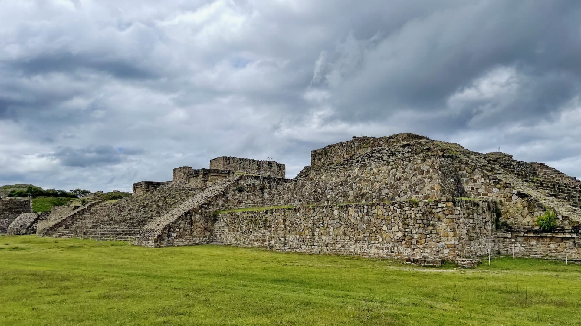
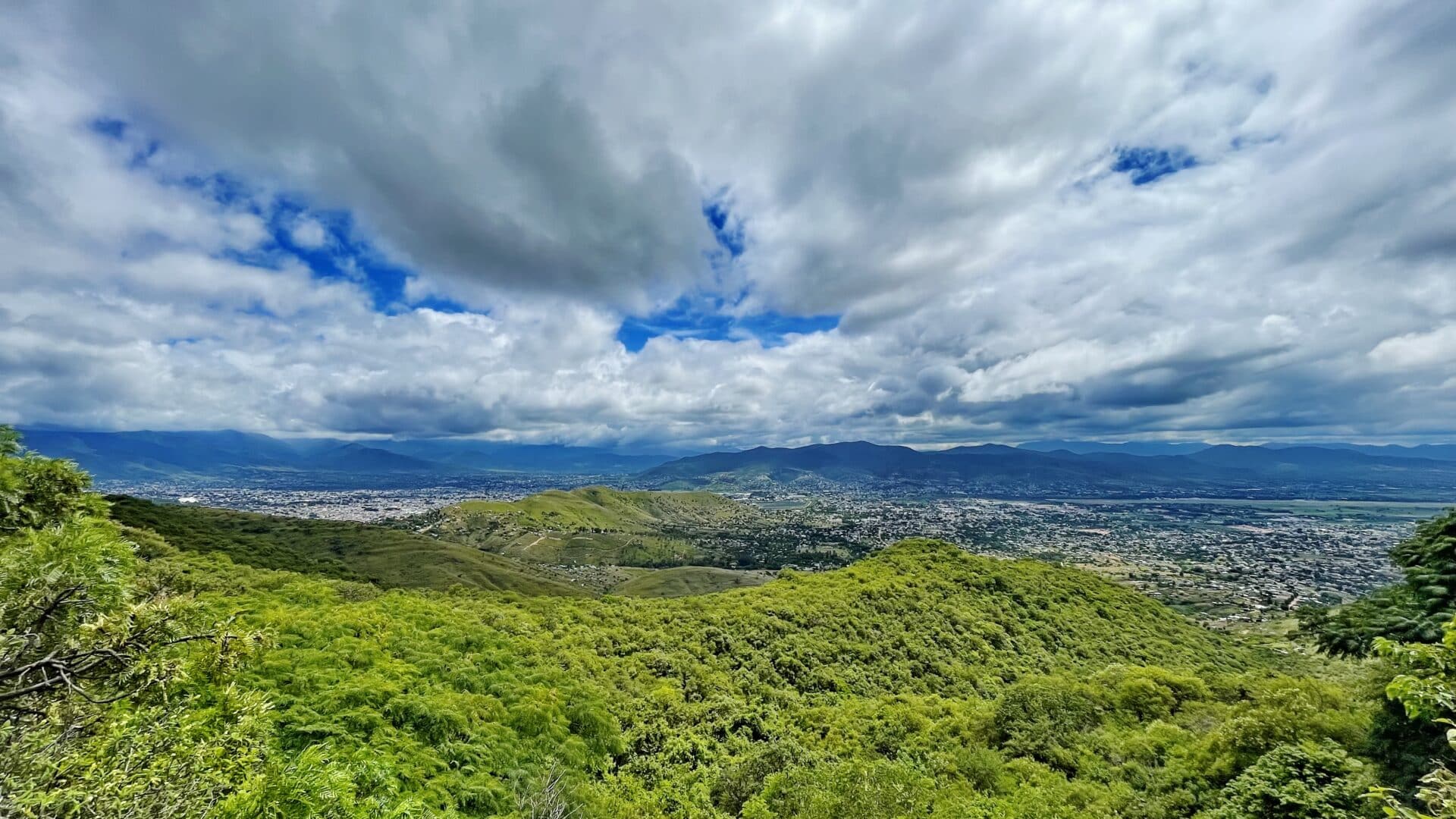
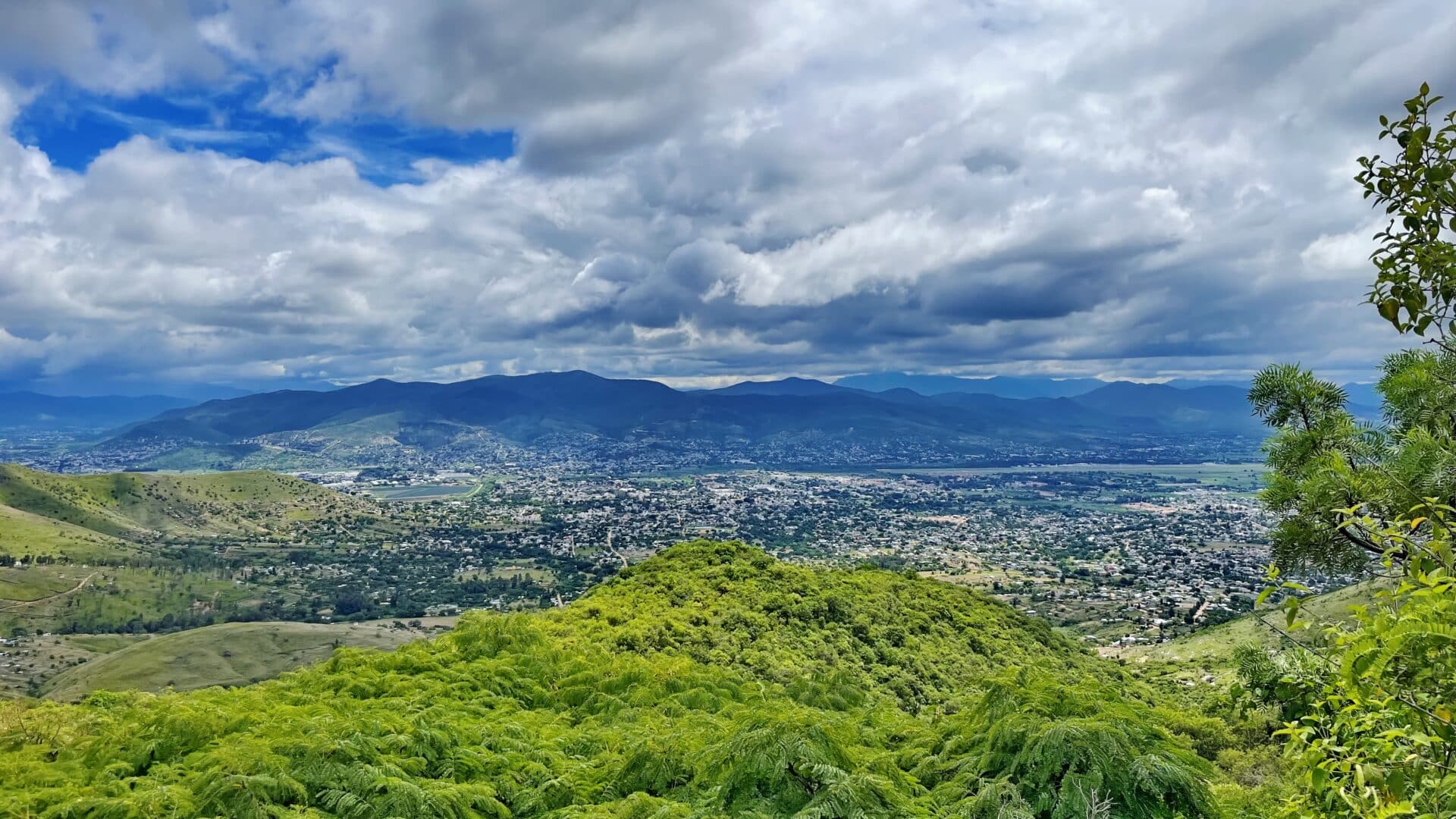
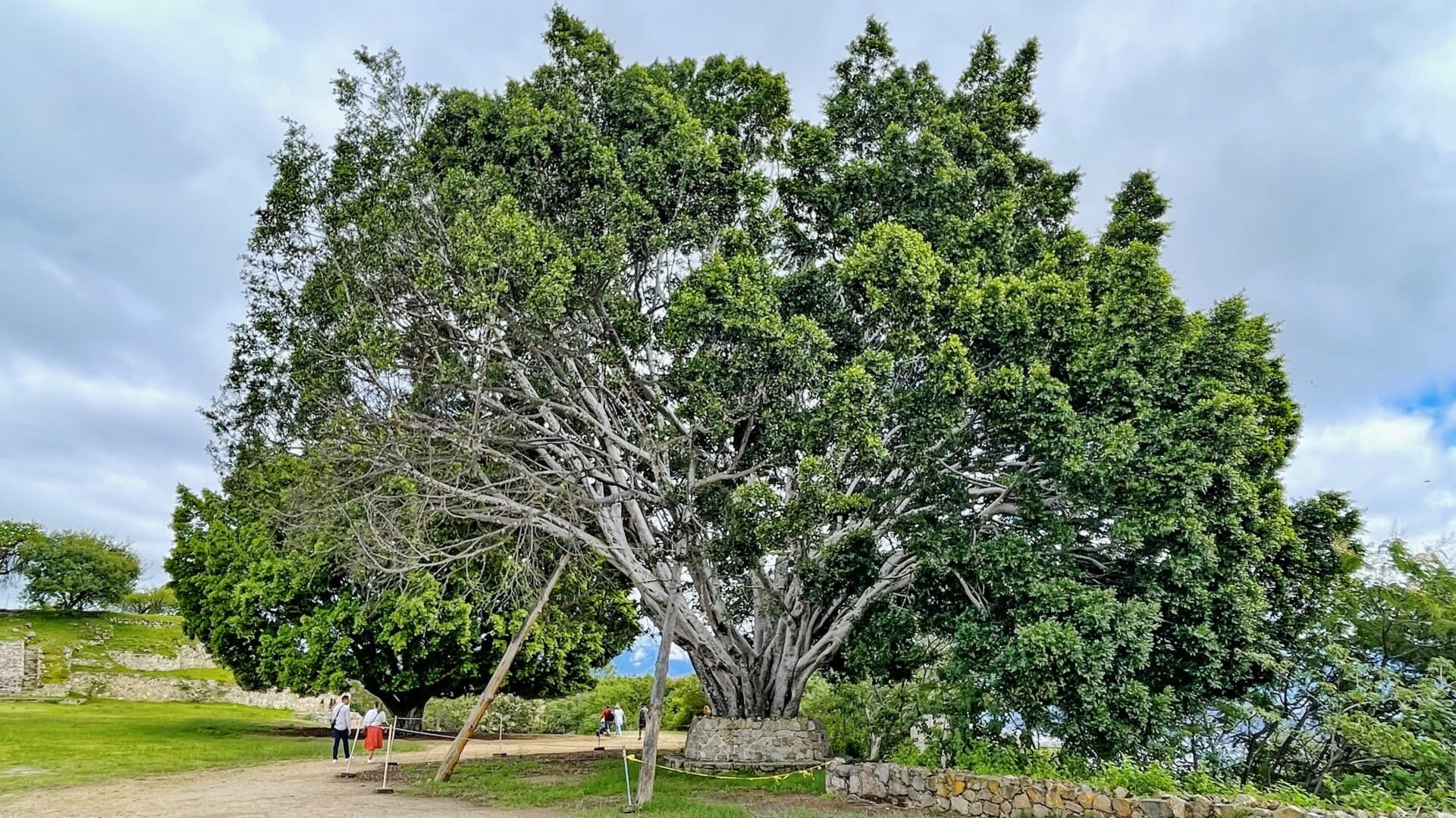
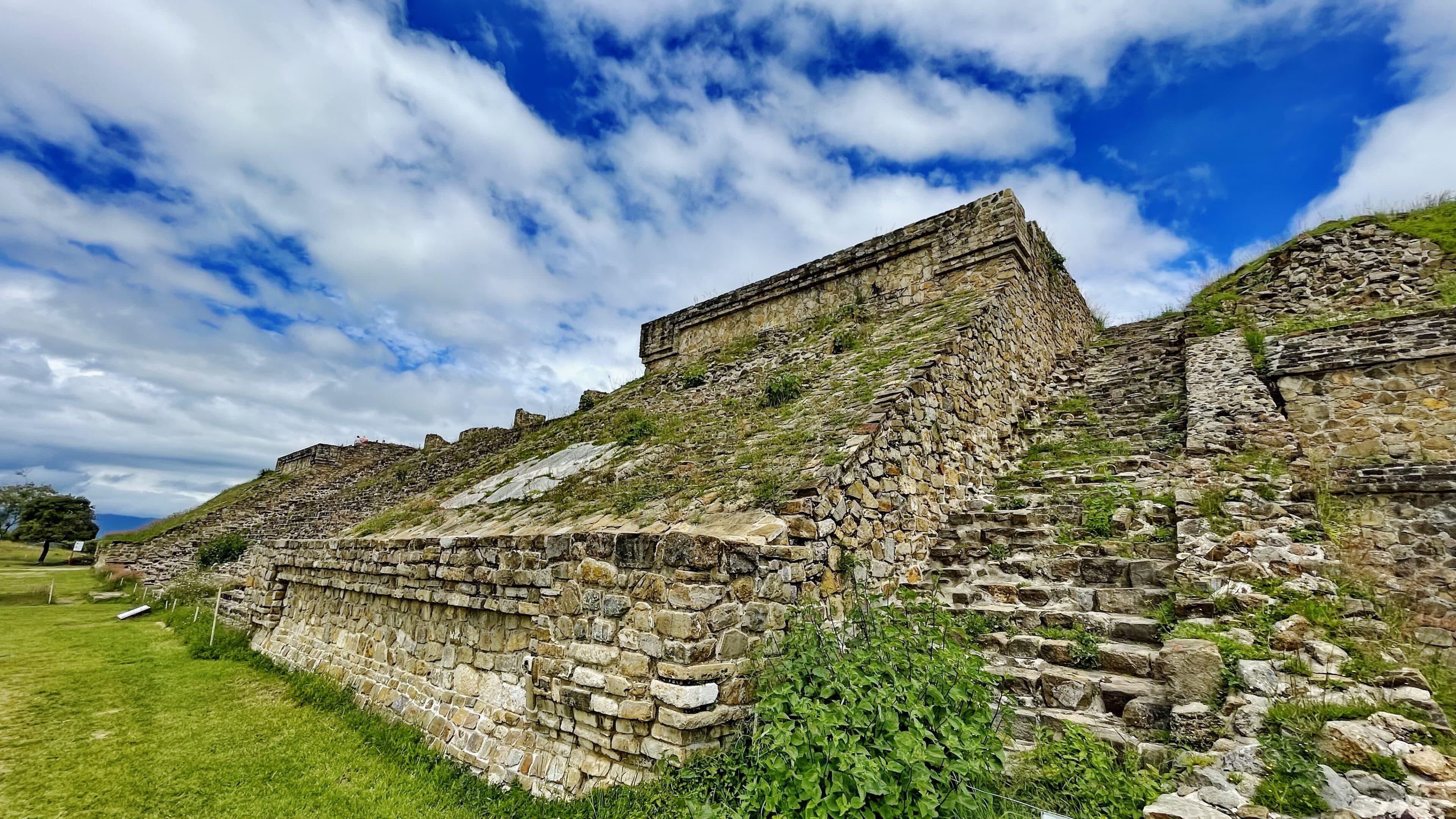
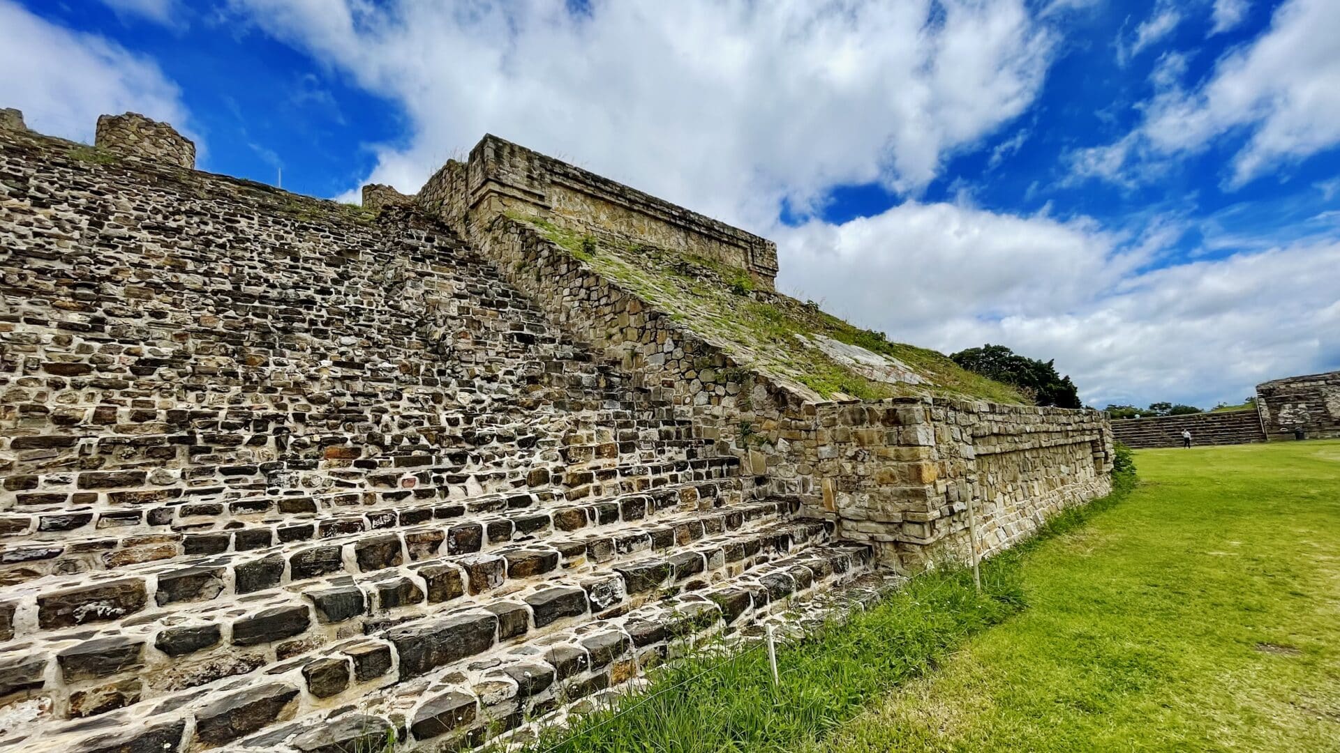
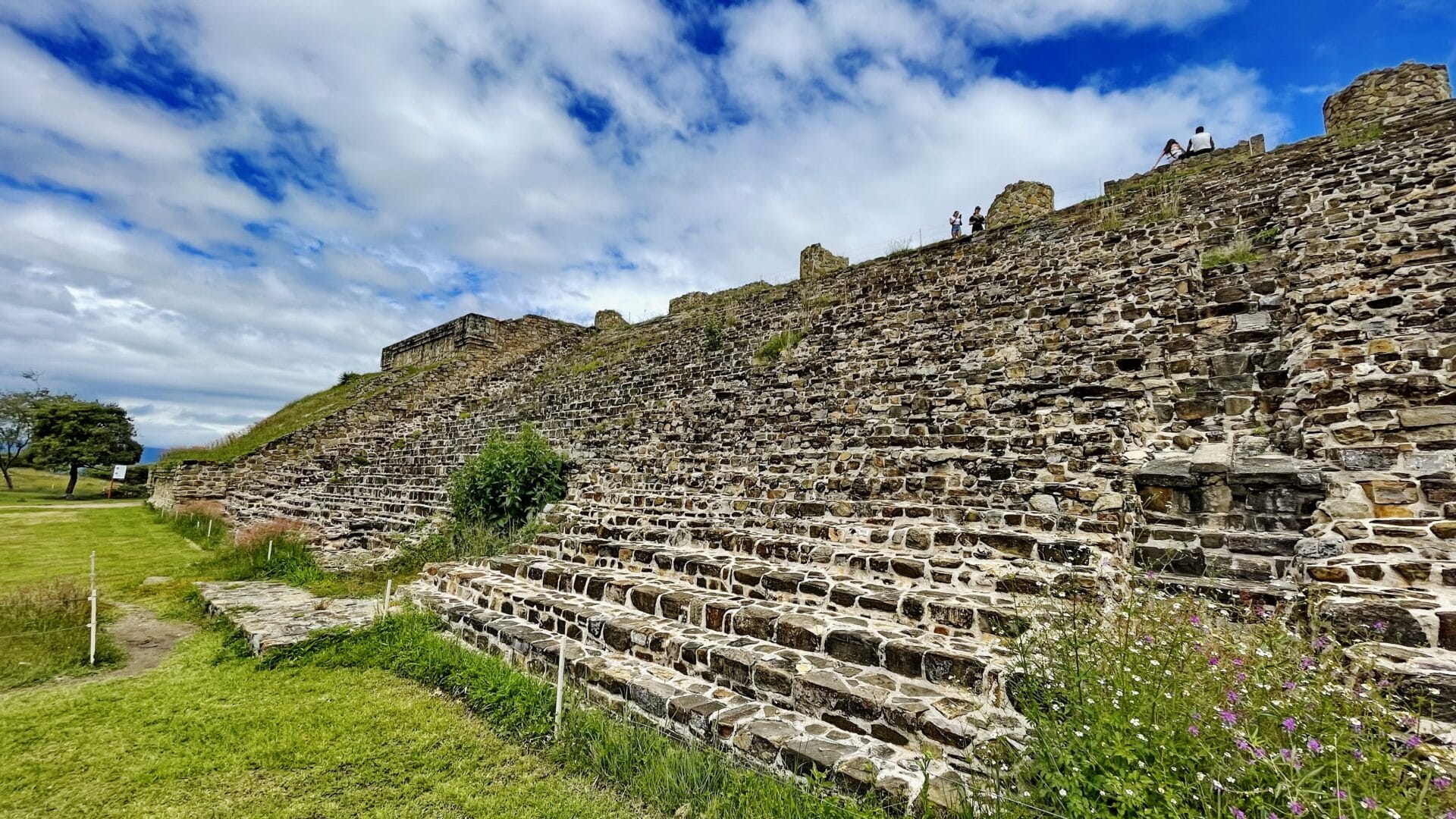
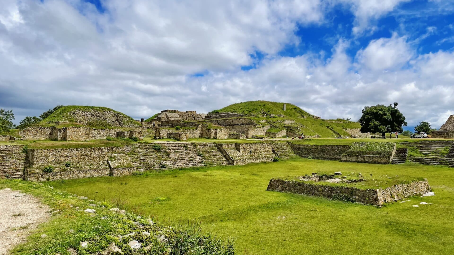
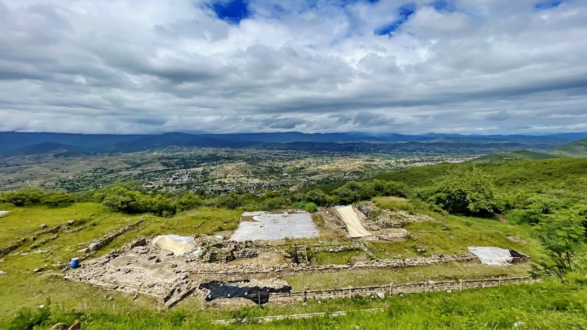
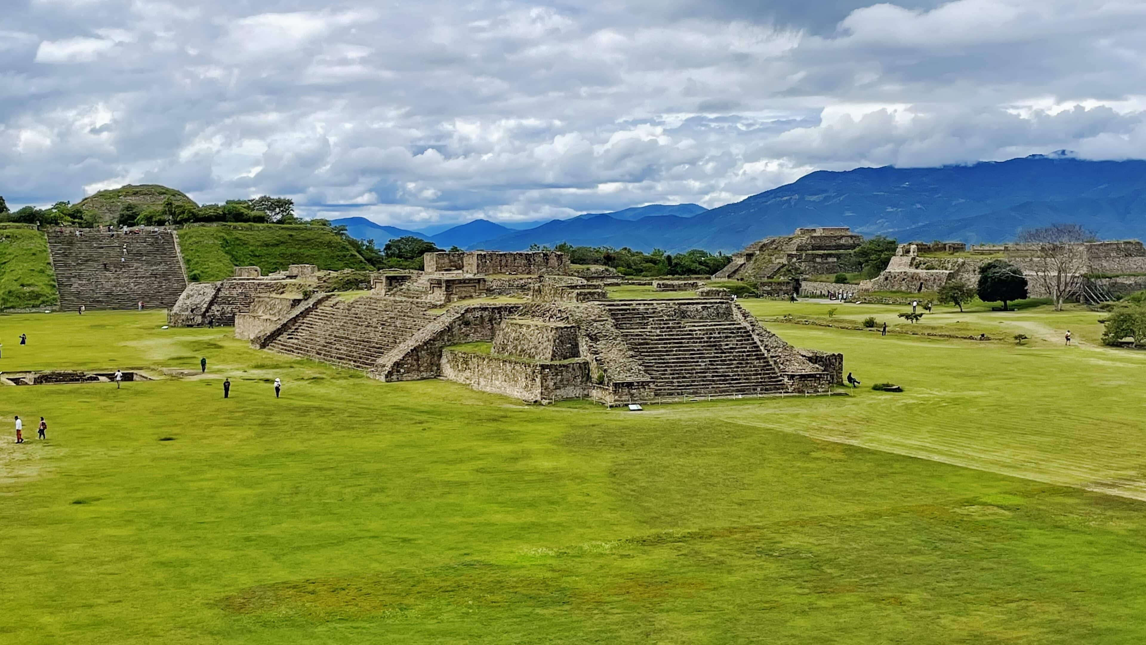
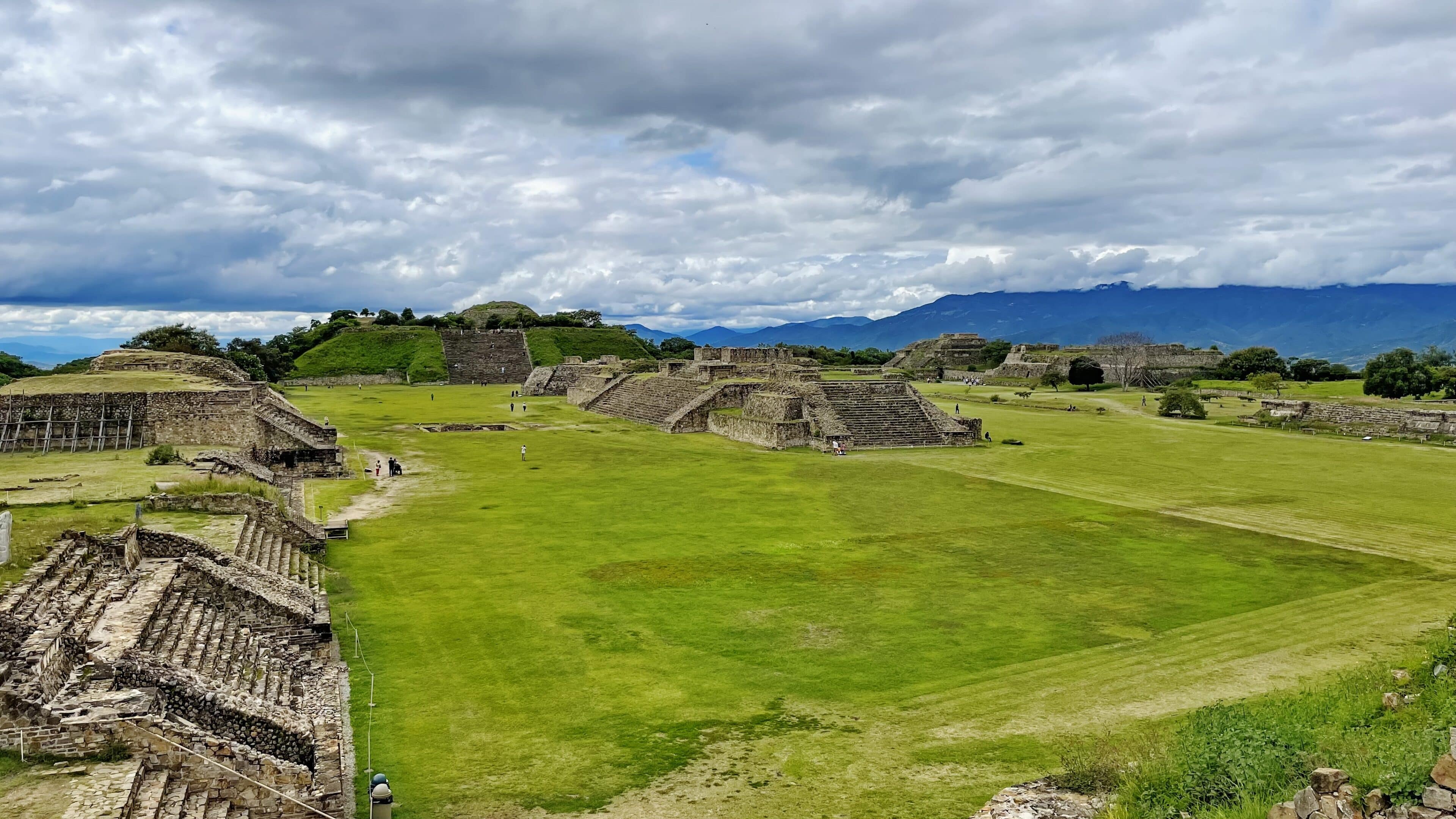
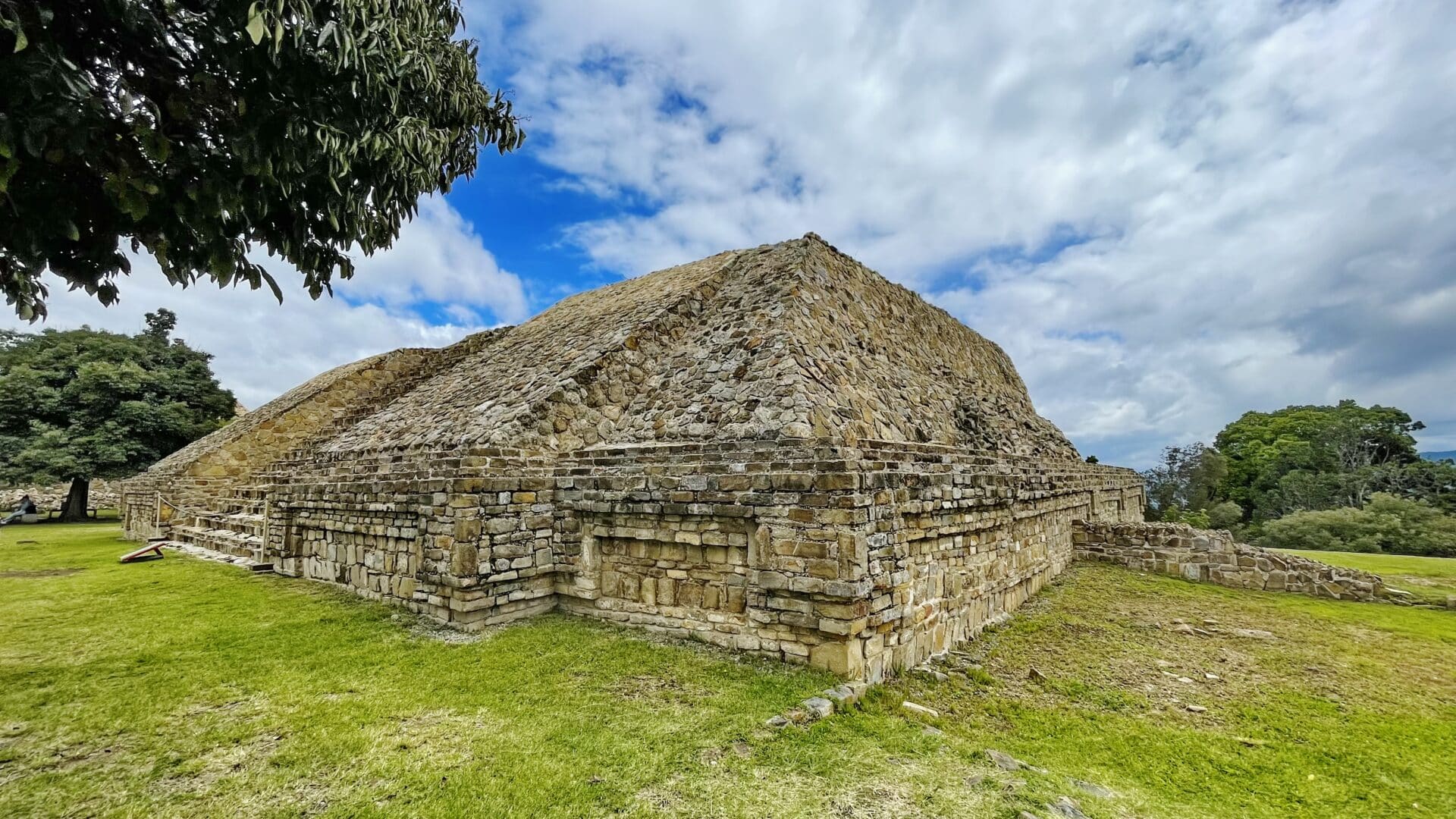
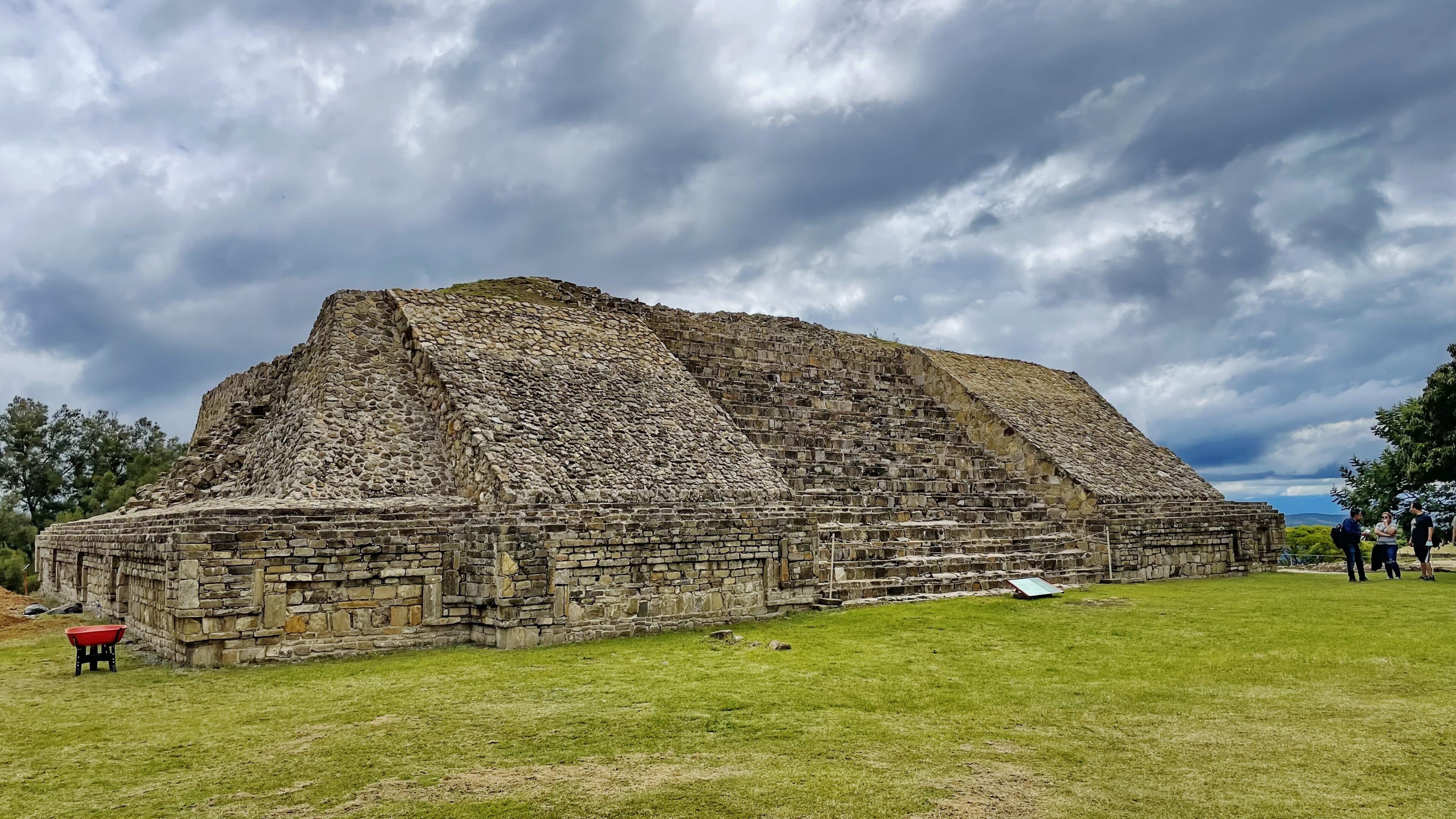
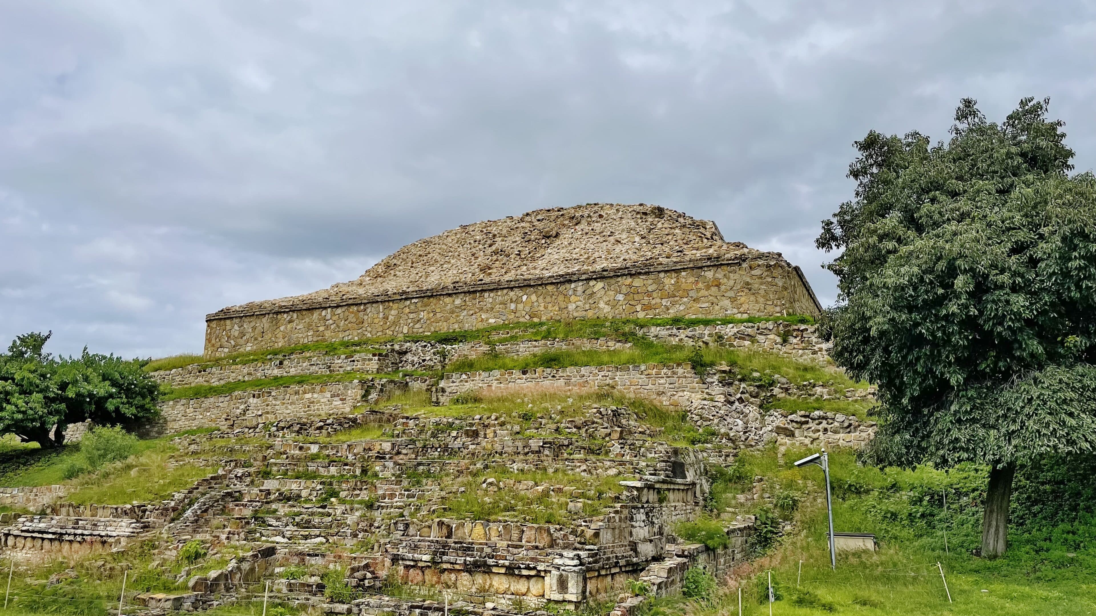
Monte Albán is the most important archaeological site of the Valley of Oaxaca. Inhabited over a period of 1,500 years by a succession of peoples – Olmecs, Zapotecs and Mixtecs – the terraces, dams, canals, pyramids and artificial mounds of Monte Albán were literally carved out of the mountain and are the symbols of a sacred topography. The grand Zapotec capital flourished for thirteen centuries, from the year 500 B.C to 850 A.D. when, for reasons that have not been established, its eventual abandonment began.
whc.unesco.org
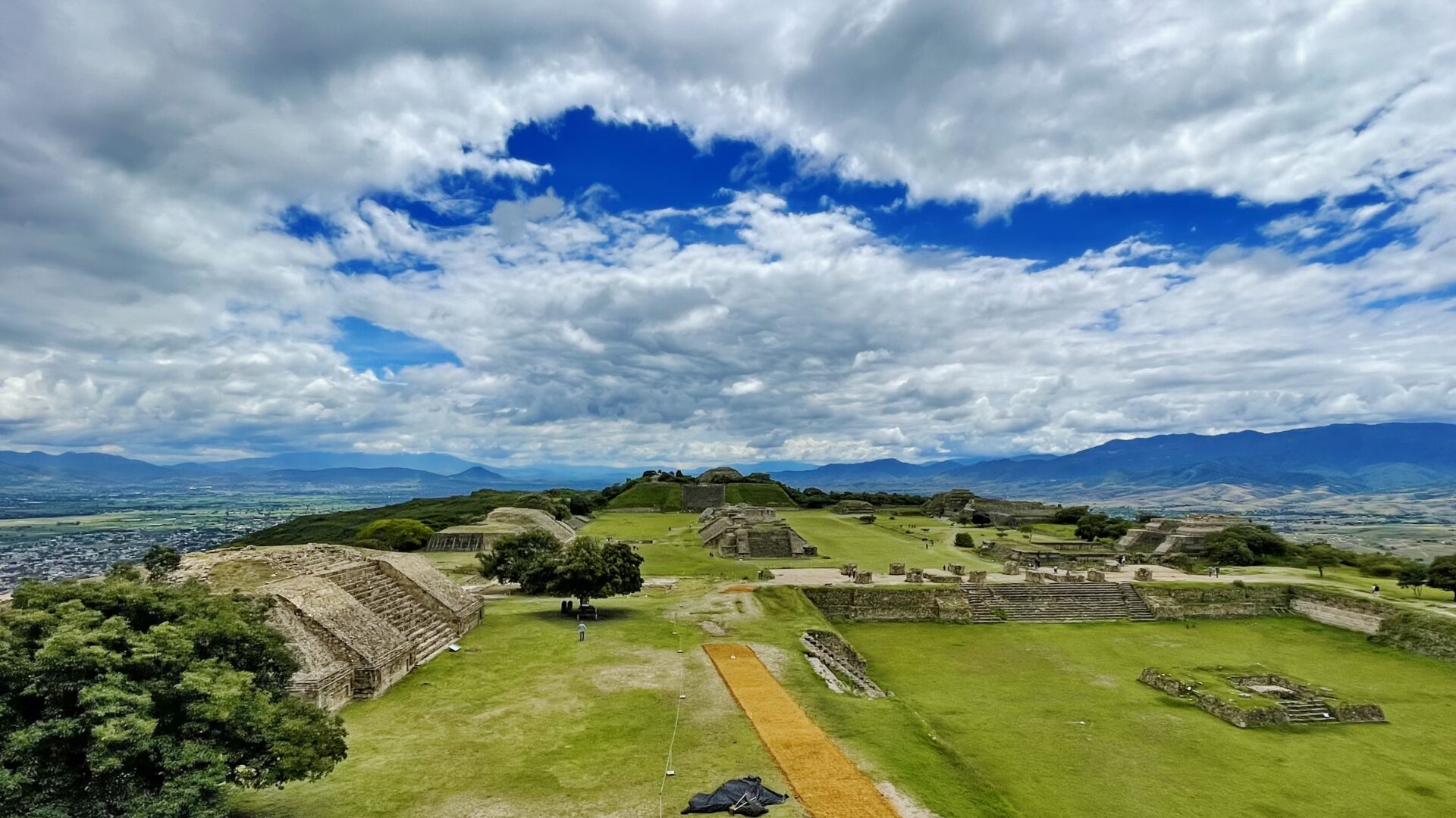
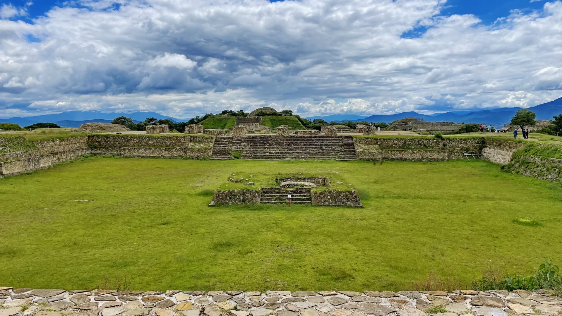
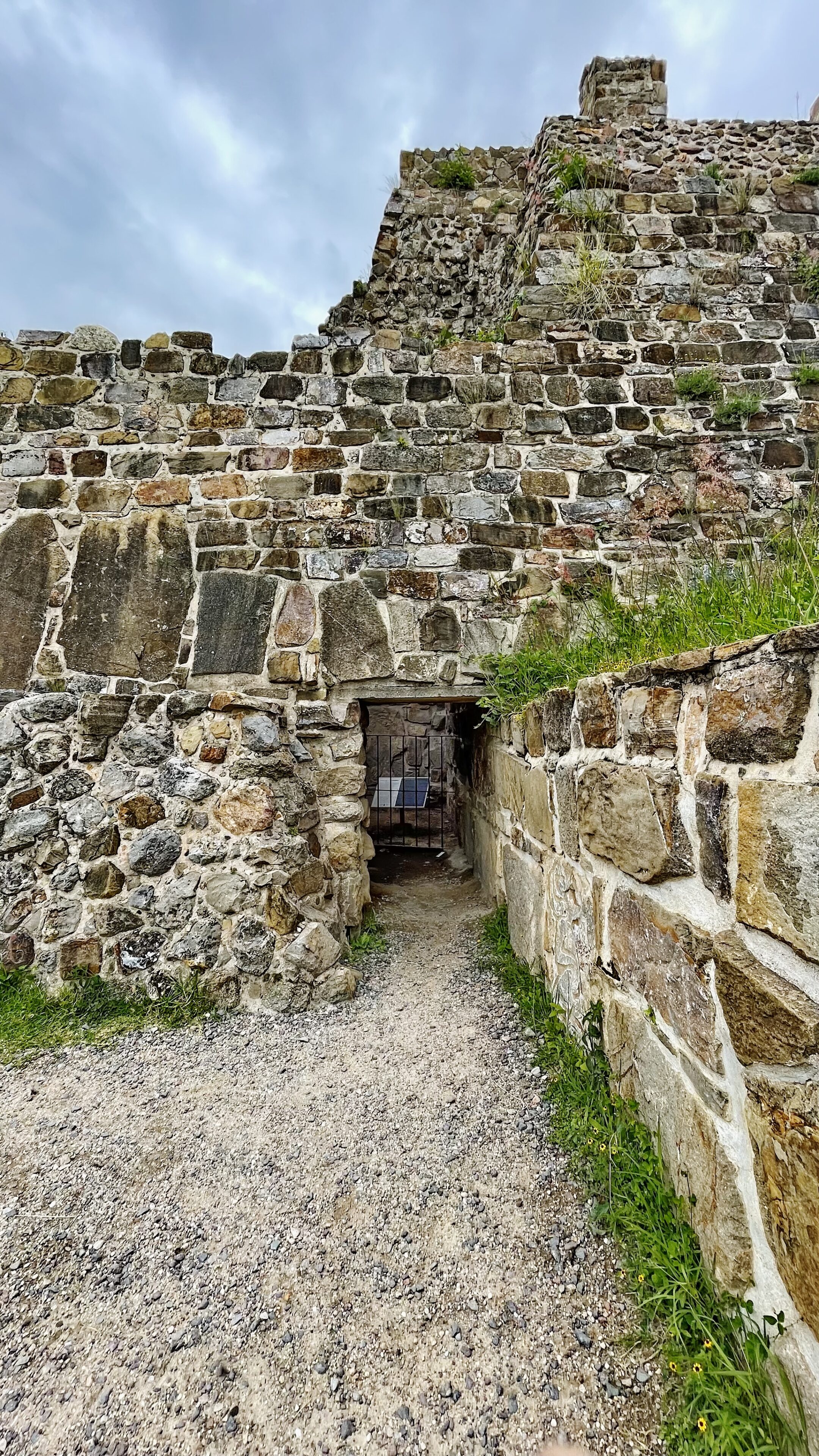
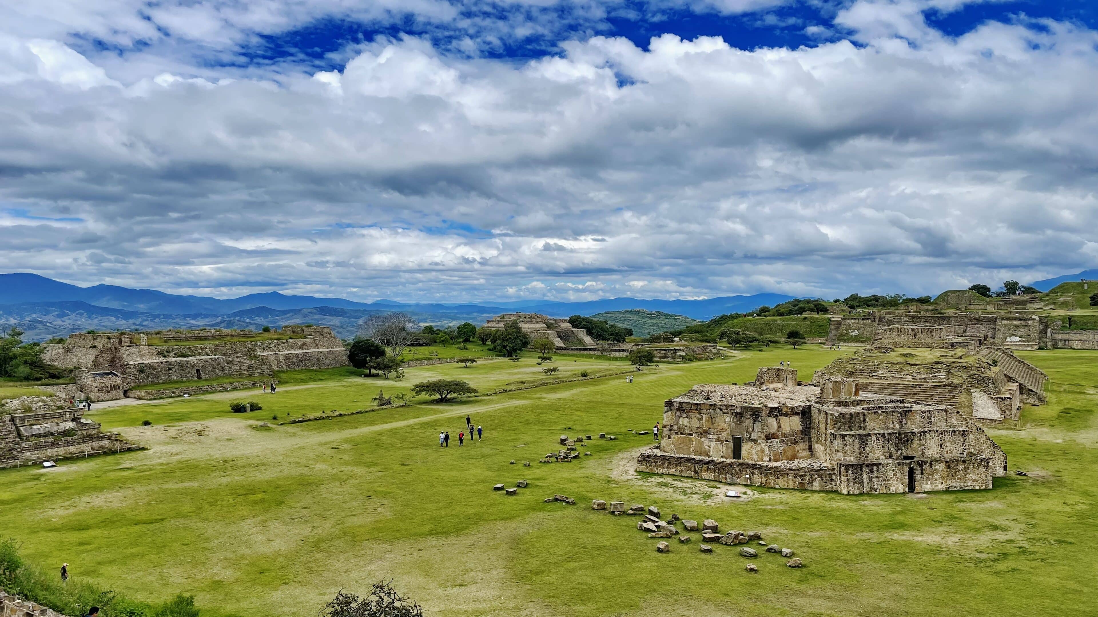
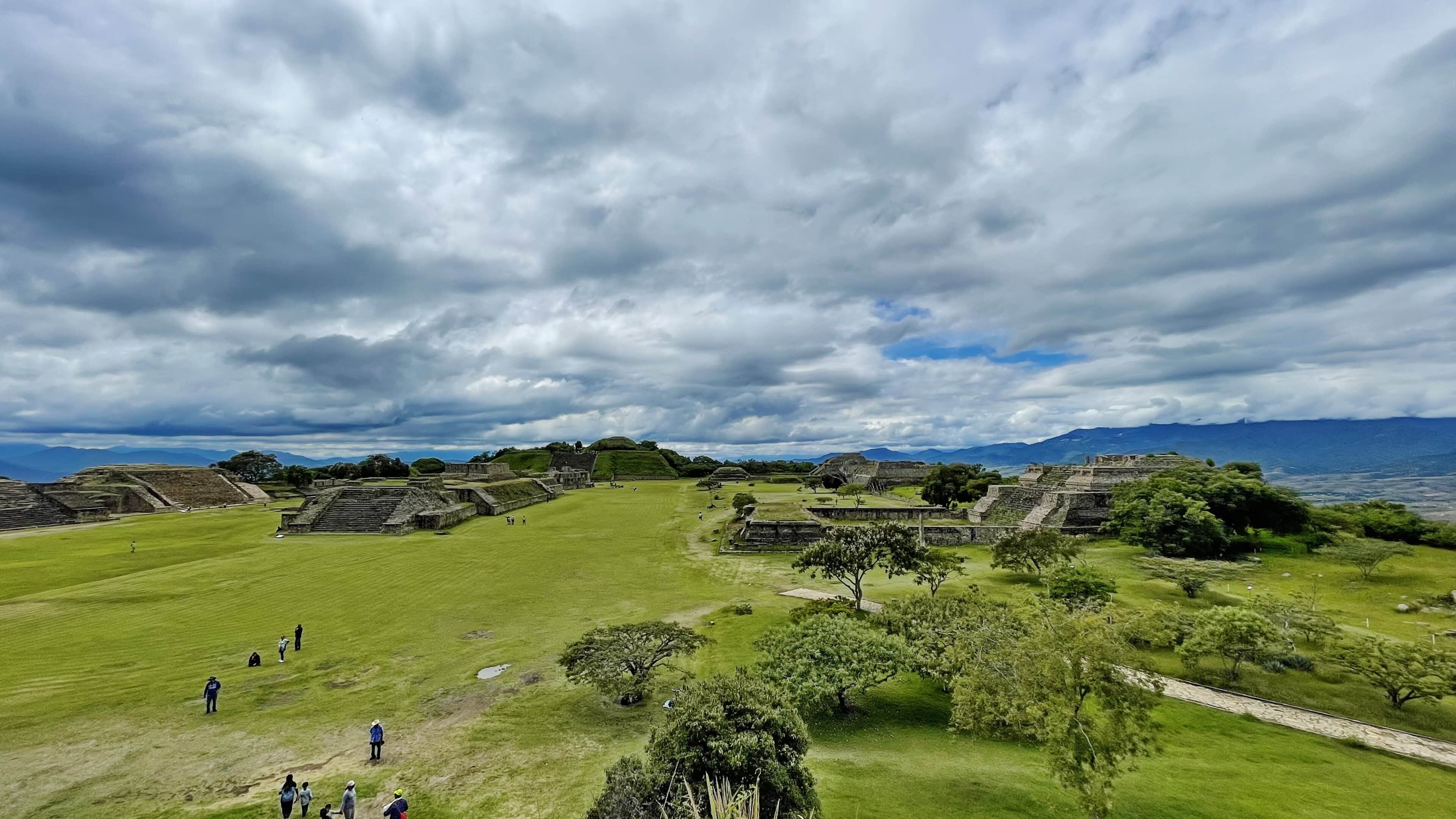
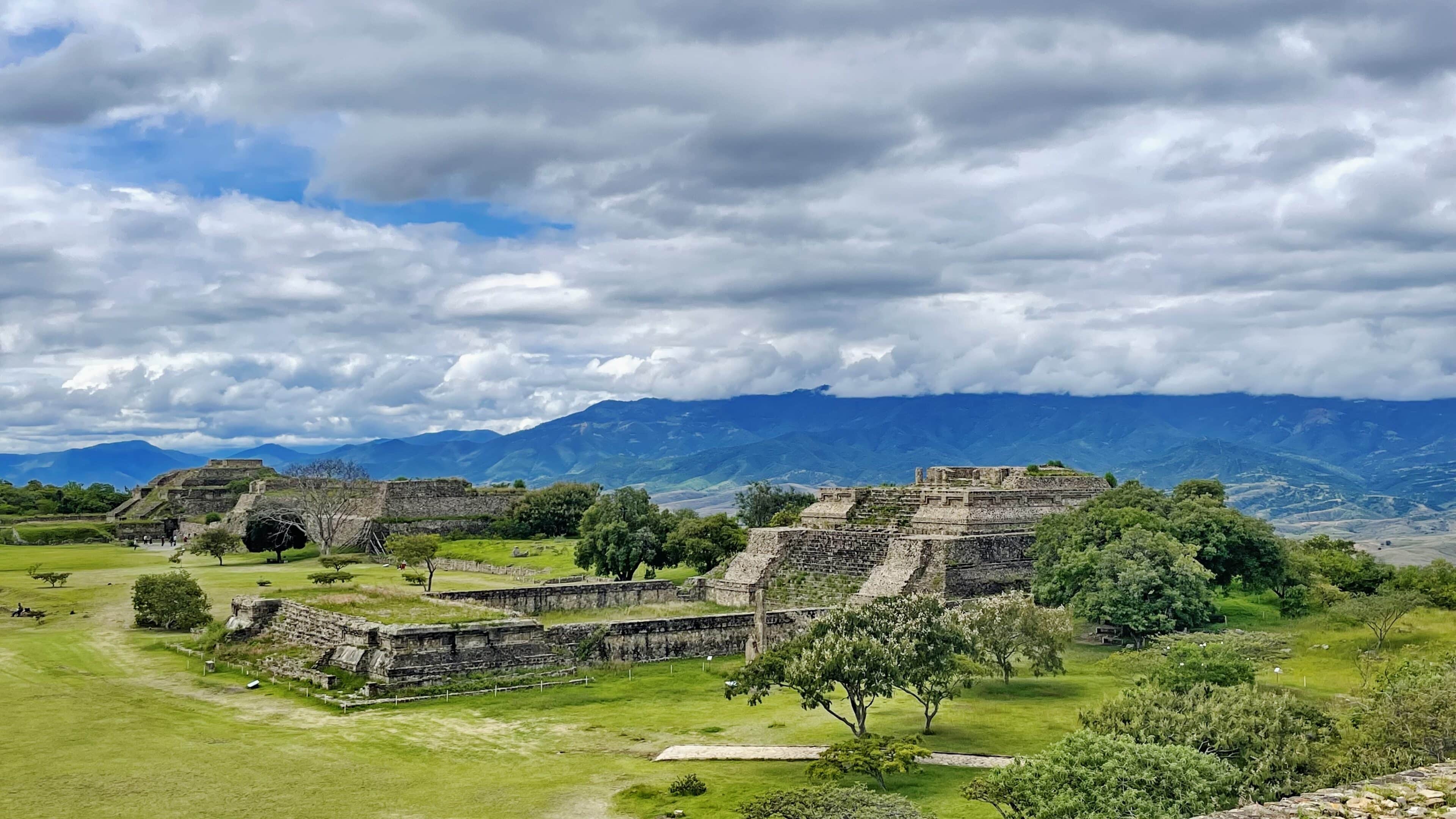
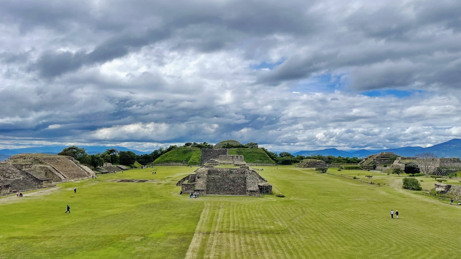
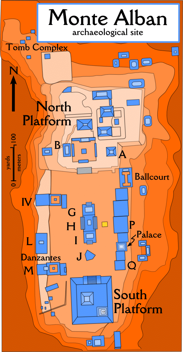
The main part of the ceremonial centre which forms a 300 m esplanade running north-south with a platform at either end was constructed during the Monte Albán II (c. 300 BC-AD 100) and the Monte Albán III phases. Phase II corresponds to the urbanization of the site and the domination of the environment by the construction of terraces on the sides of the hills, and the development of a system of dams and conduits. The final phases of Monte Albán IV and V were marked by the transformation of the sacred city into a fortified town. Monte Albán represents a civilization of knowledge, traditions and artistic expressions. Excellent planning is evidenced in the position of the line buildings erected north to south, harmonized with both empty spaces and volumes. It showcases the remarkable architectural design of the site in both Mesoamerica and worldwide urbanism.
whc.unesco.org
Archaeological Site of Monte Albán
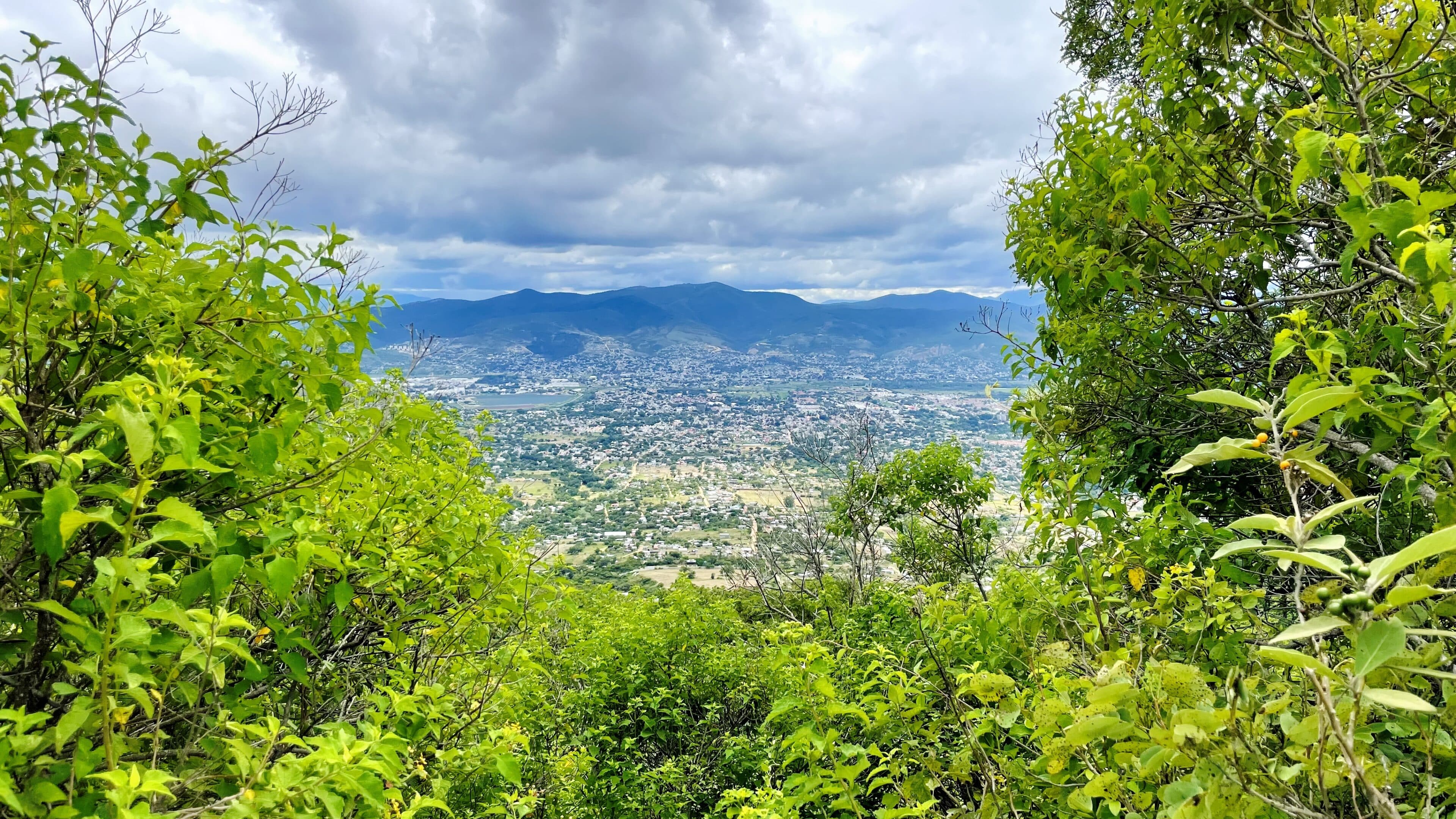
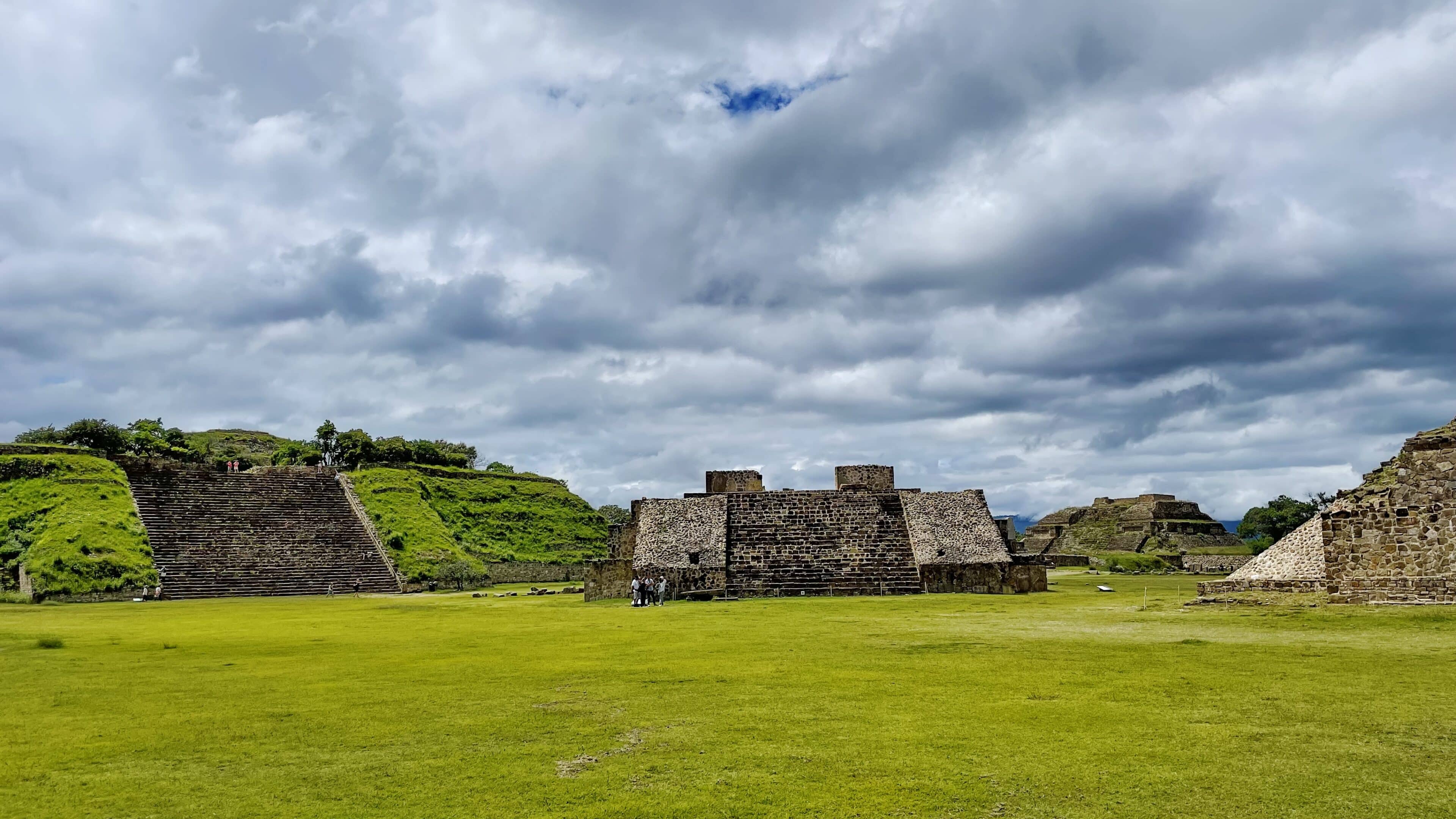
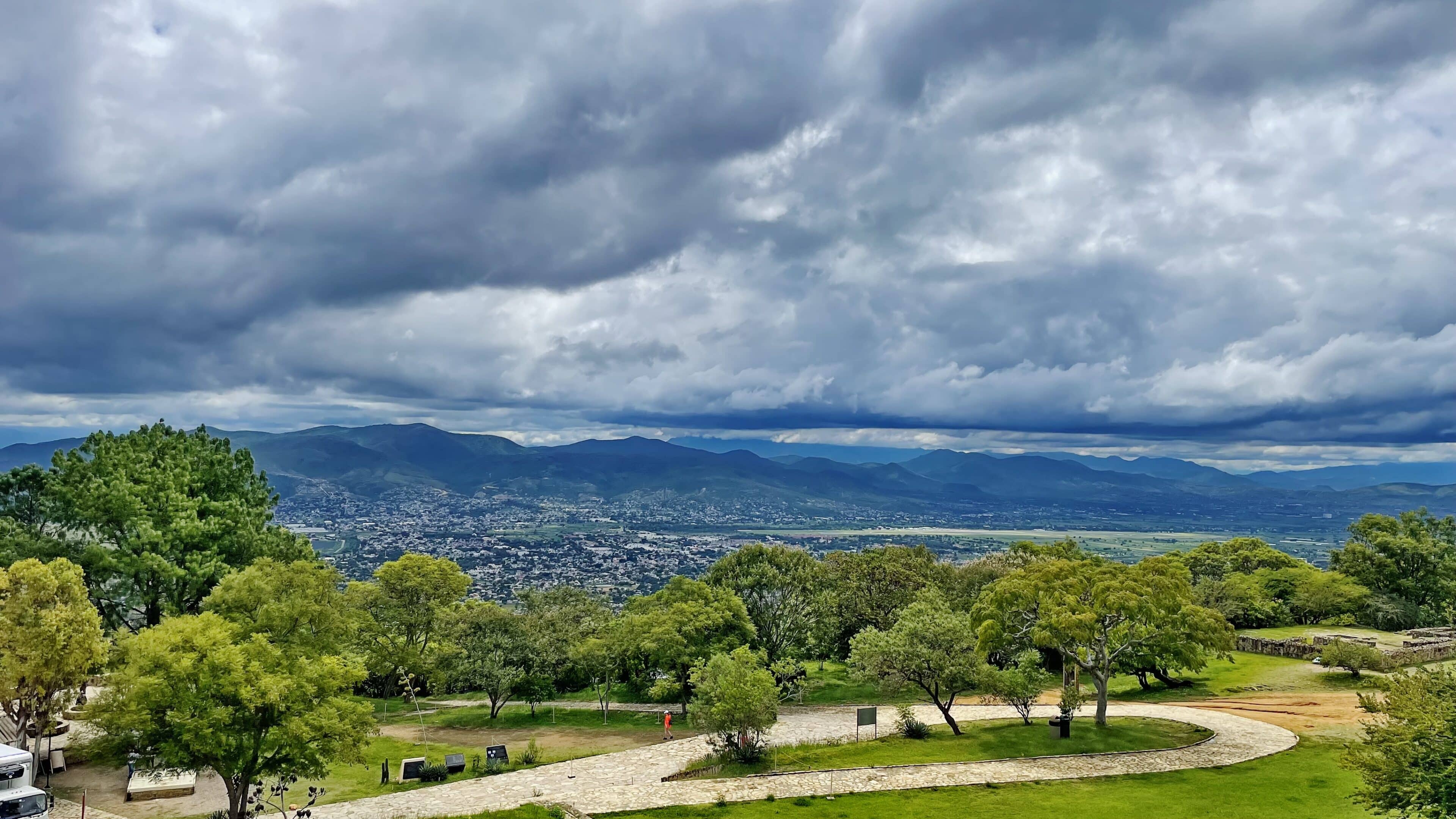
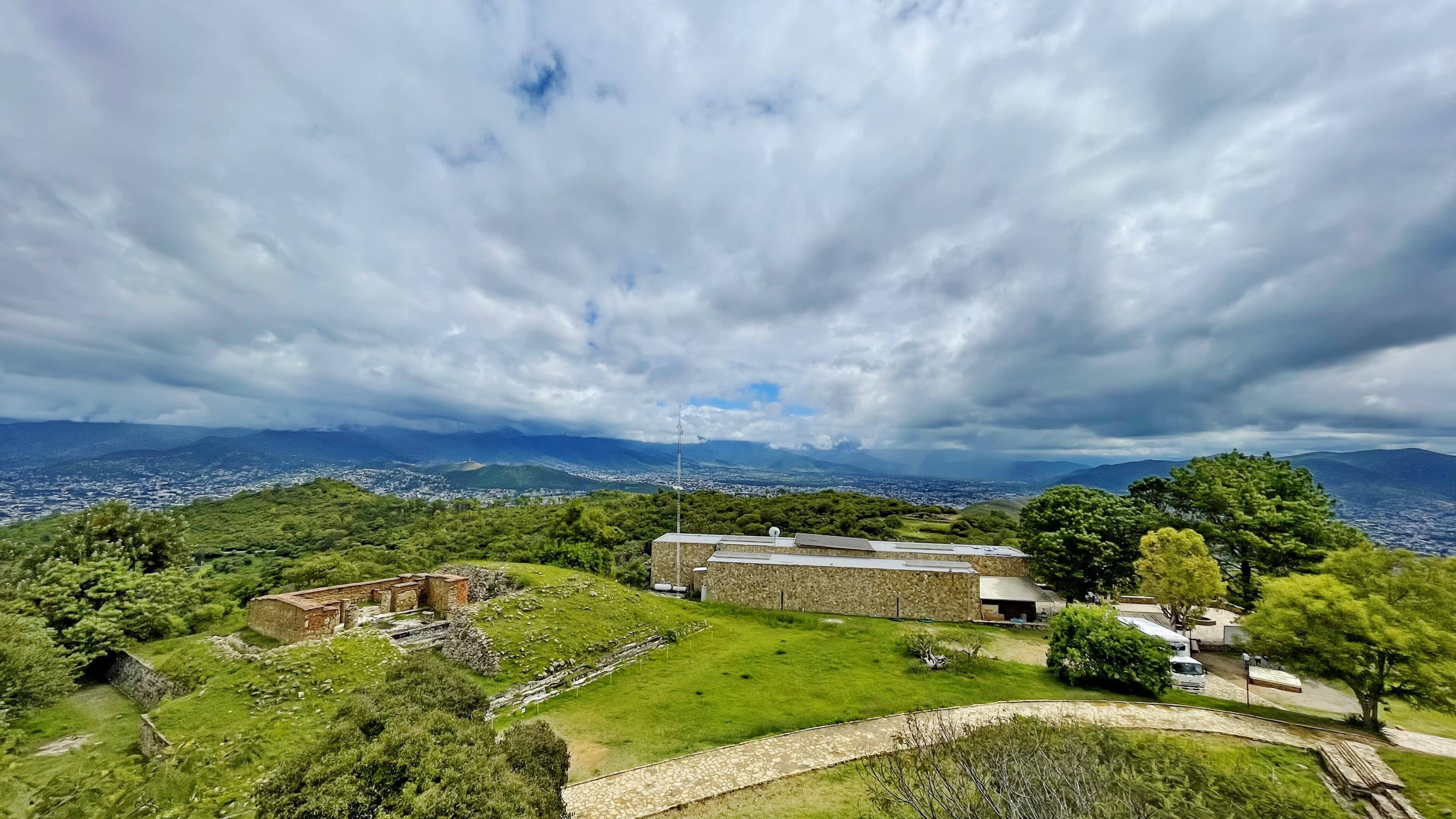
Monte Albán is situated 6 miles (9 km) west of Oaxaca City on a low mountainous range and unveils its historical splendor in the form of the Gran Plaza, the only section accessible to the public. Acknowledging its cultural significance, UNESCO bestowed World Heritage status upon Monte Albán in 1987. In 1993, through a presidential decree, the Mexican government officially designated it as an archaeological monument area, safeguarding a vast expanse of 2,078 hectares.
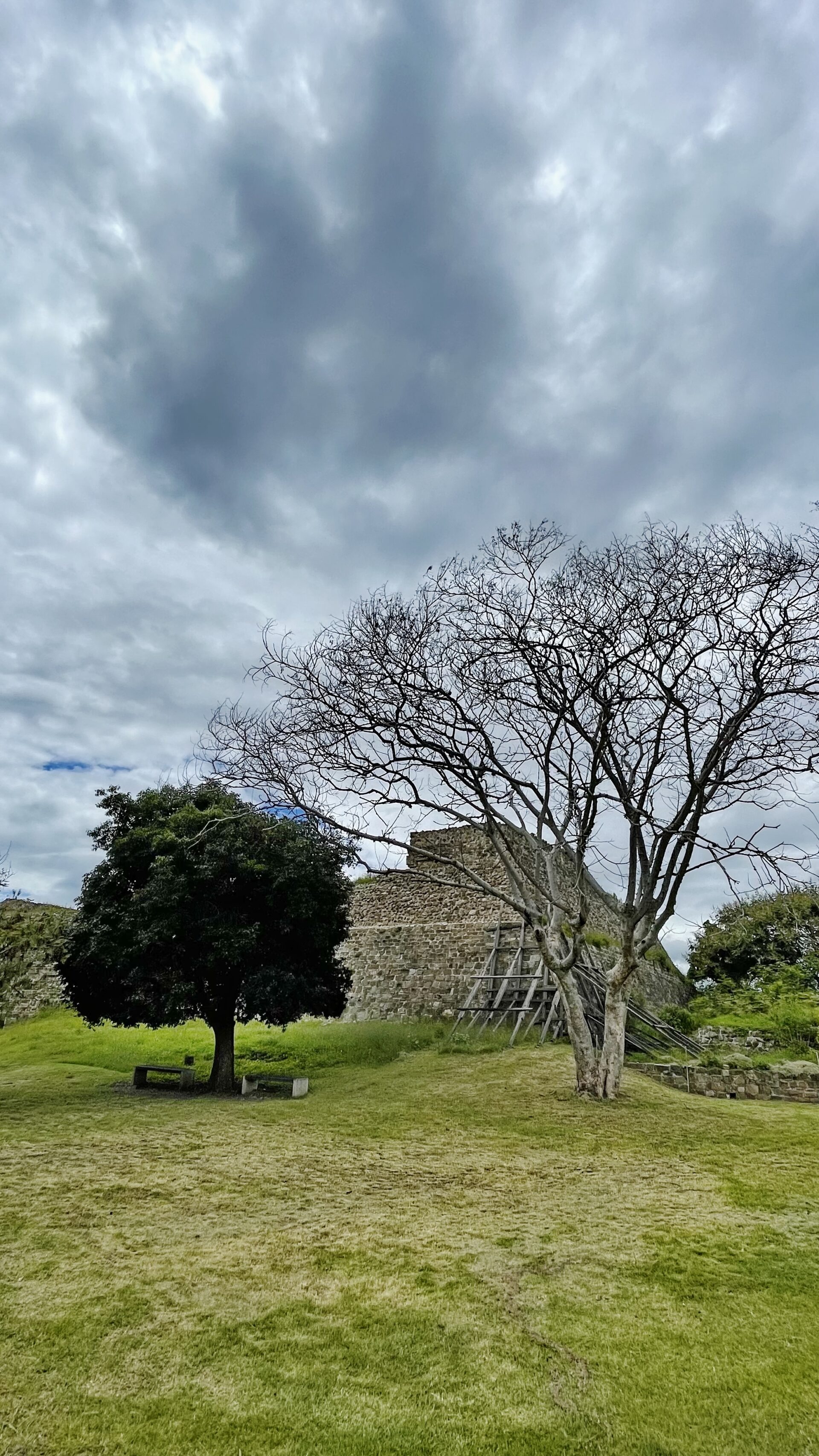
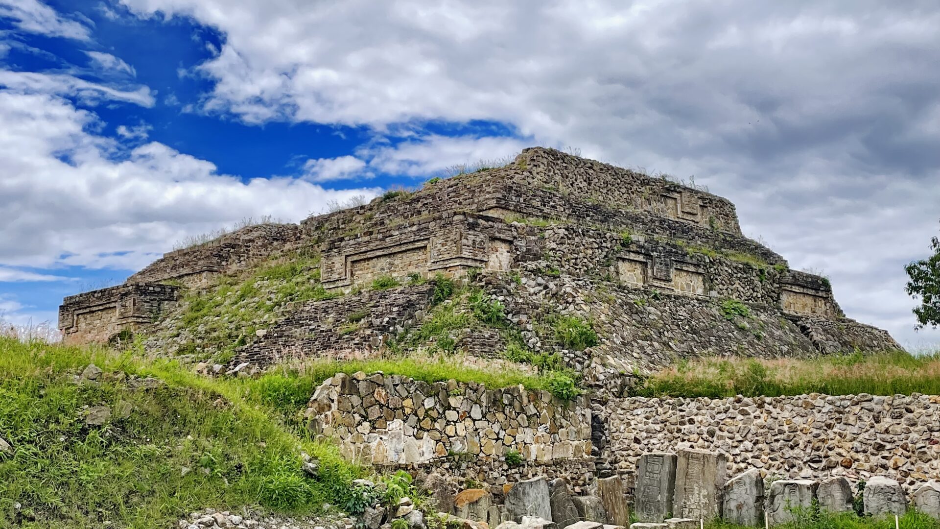
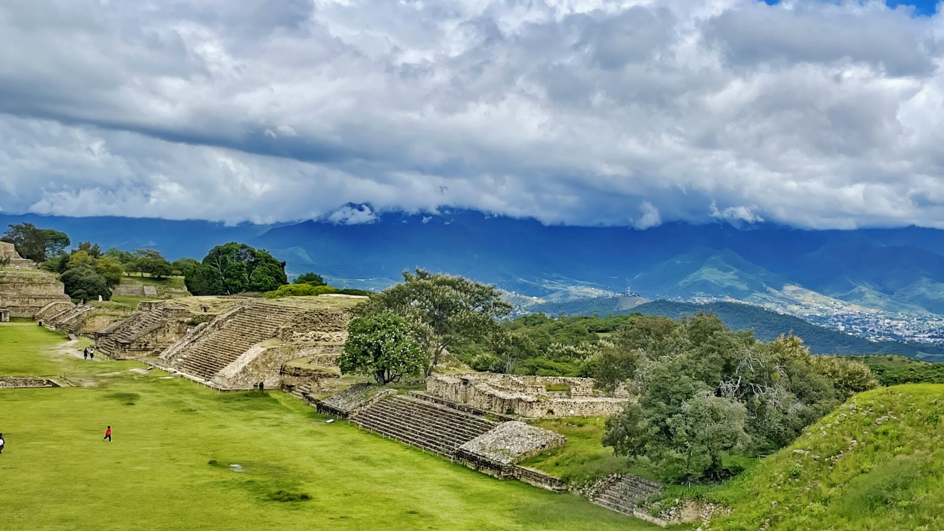
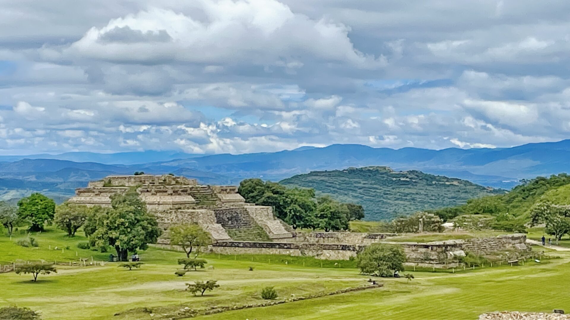
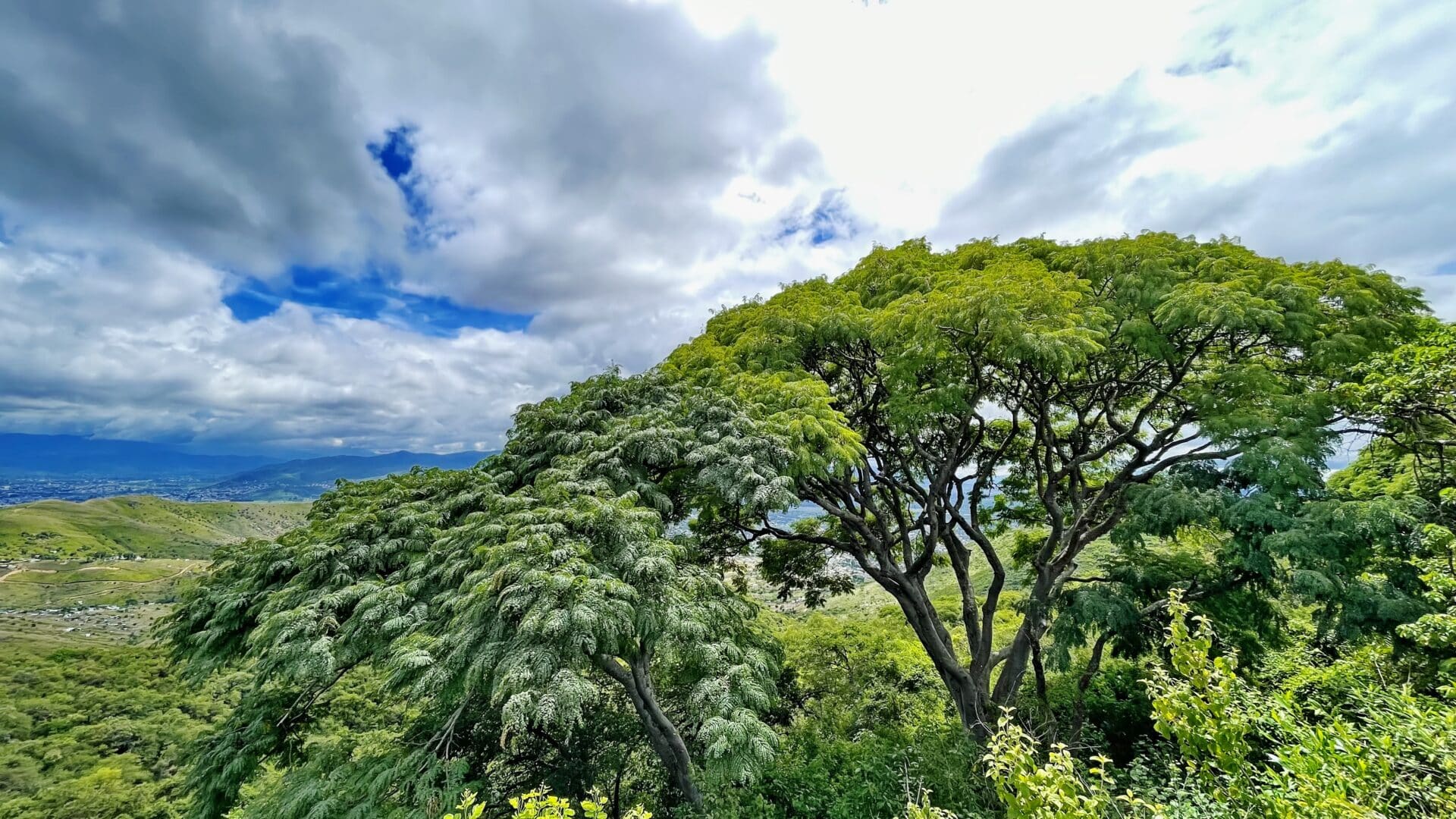
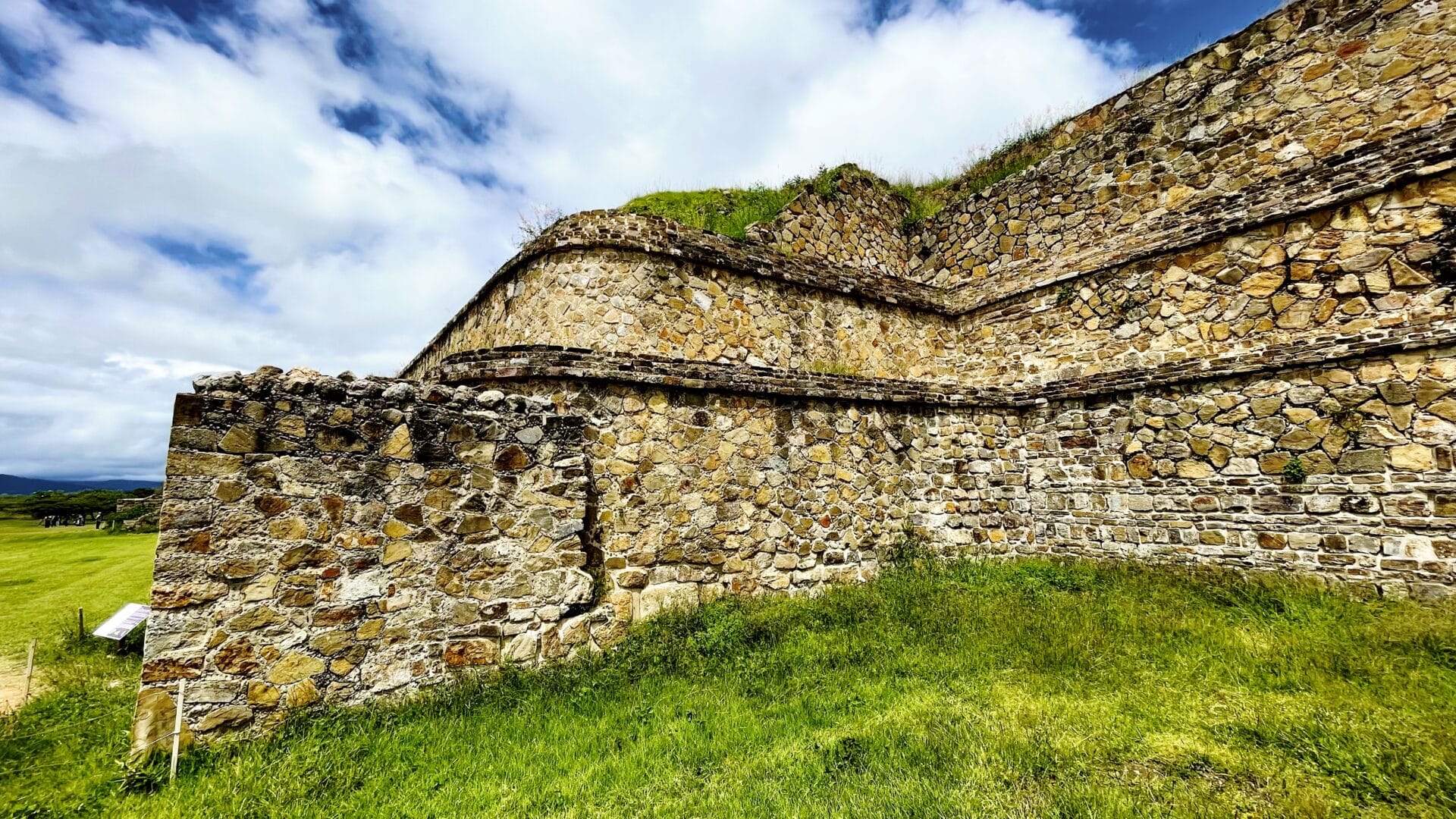
The partially excavated civic ceremonial center of the Monte Albán site is situated atop an artificially leveled ridge. It has an elevation of about 1,940 m (6,400 ft) above mean sea level and rises some 400 m (1,300 ft) from the valley floor, in an easily defensible location. In addition to the monumental core, the site is characterized by several hundred artificial terraces, and a dozen clusters of mounded architecture covering the entire ridgeline and surrounding flanks. The archaeological ruins on the nearby Atzompa and El Gallo hills to the north are traditionally considered to be an integral part of the ancient city as well.
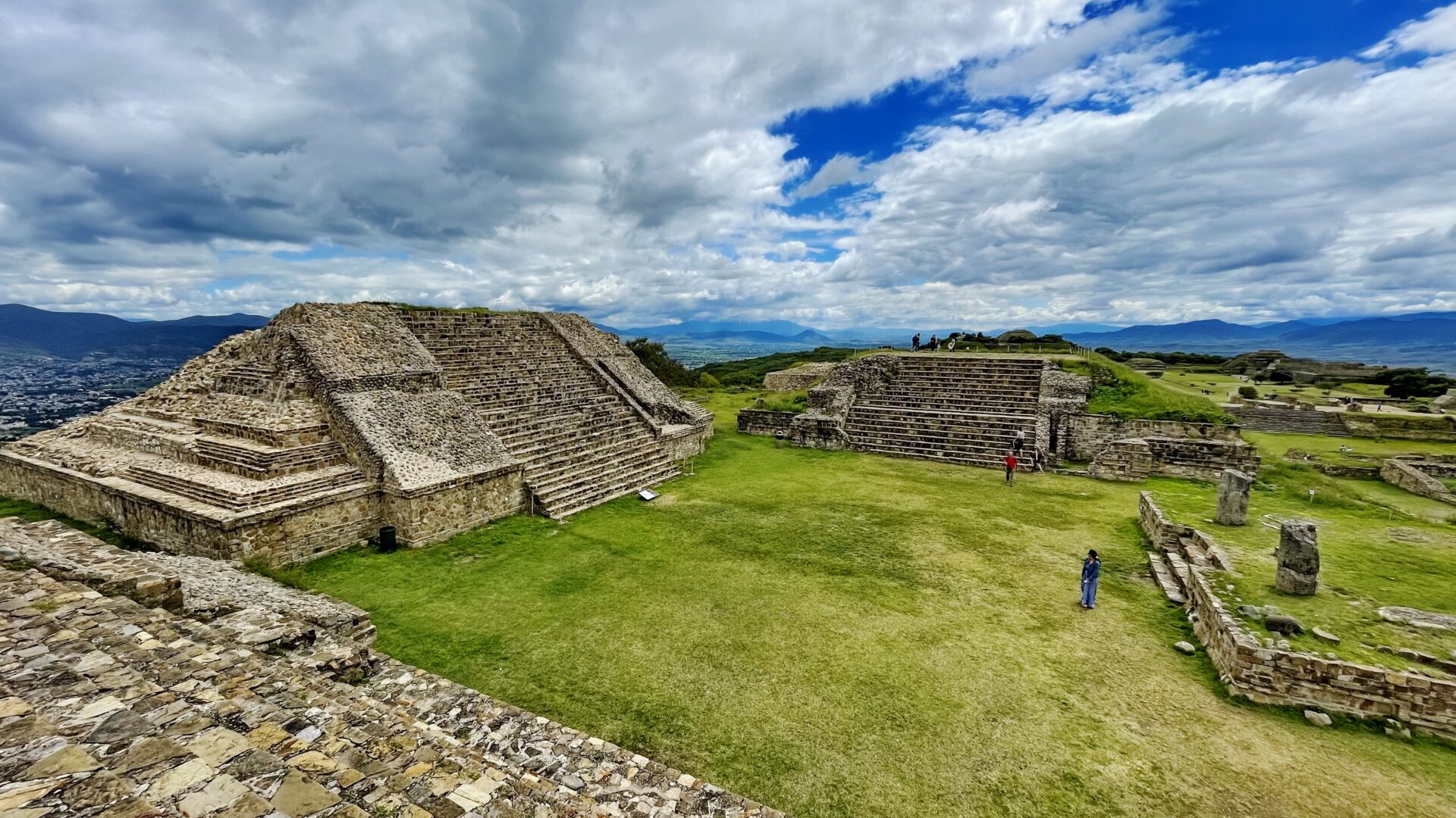
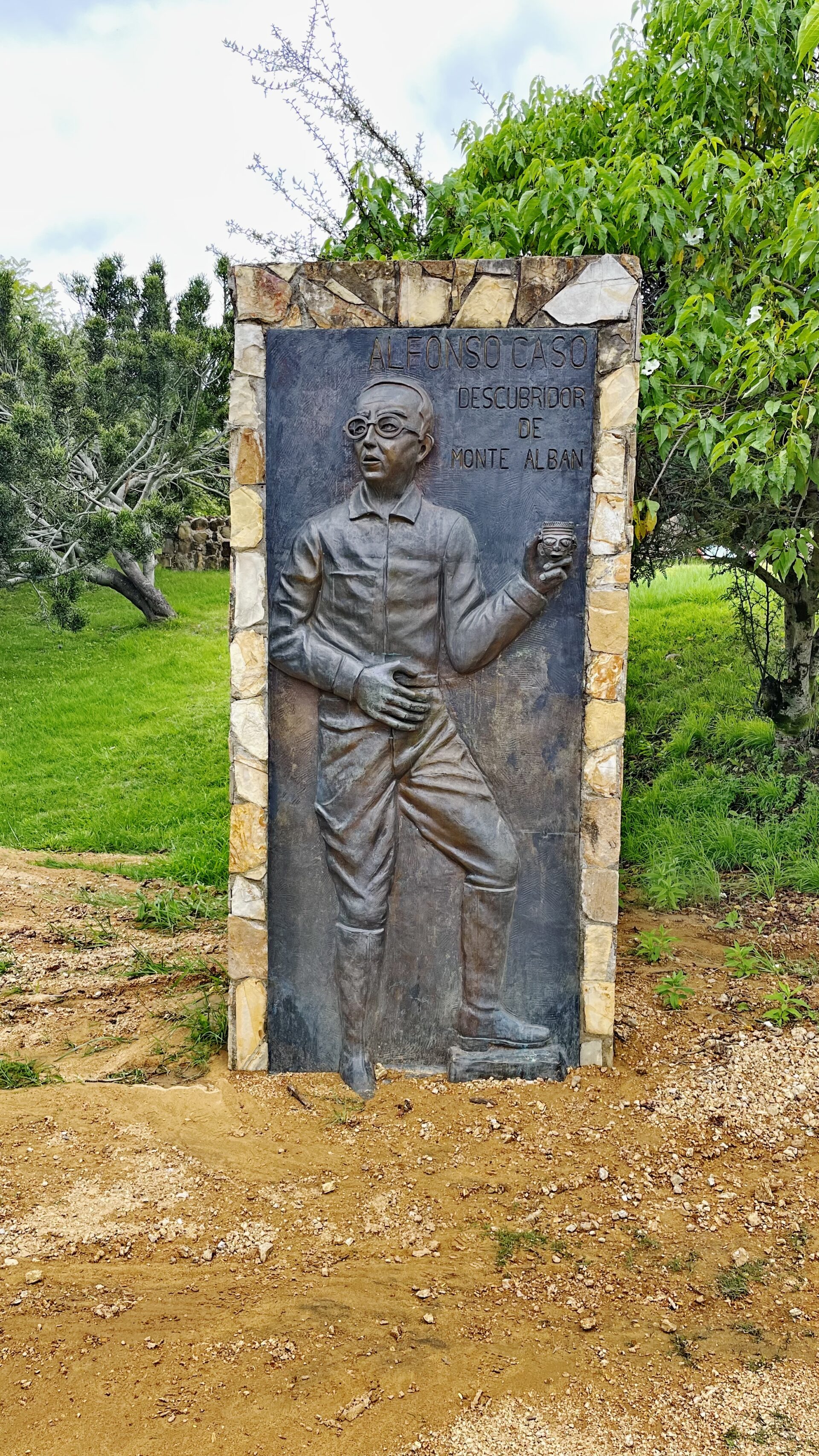
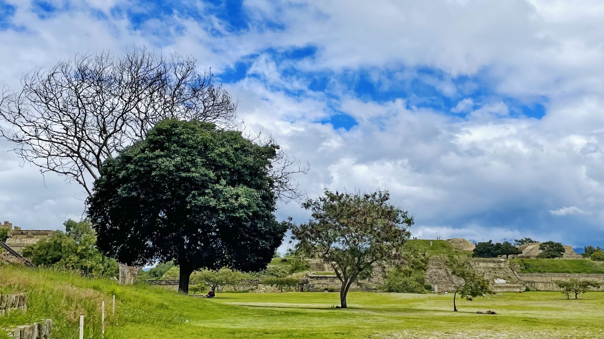
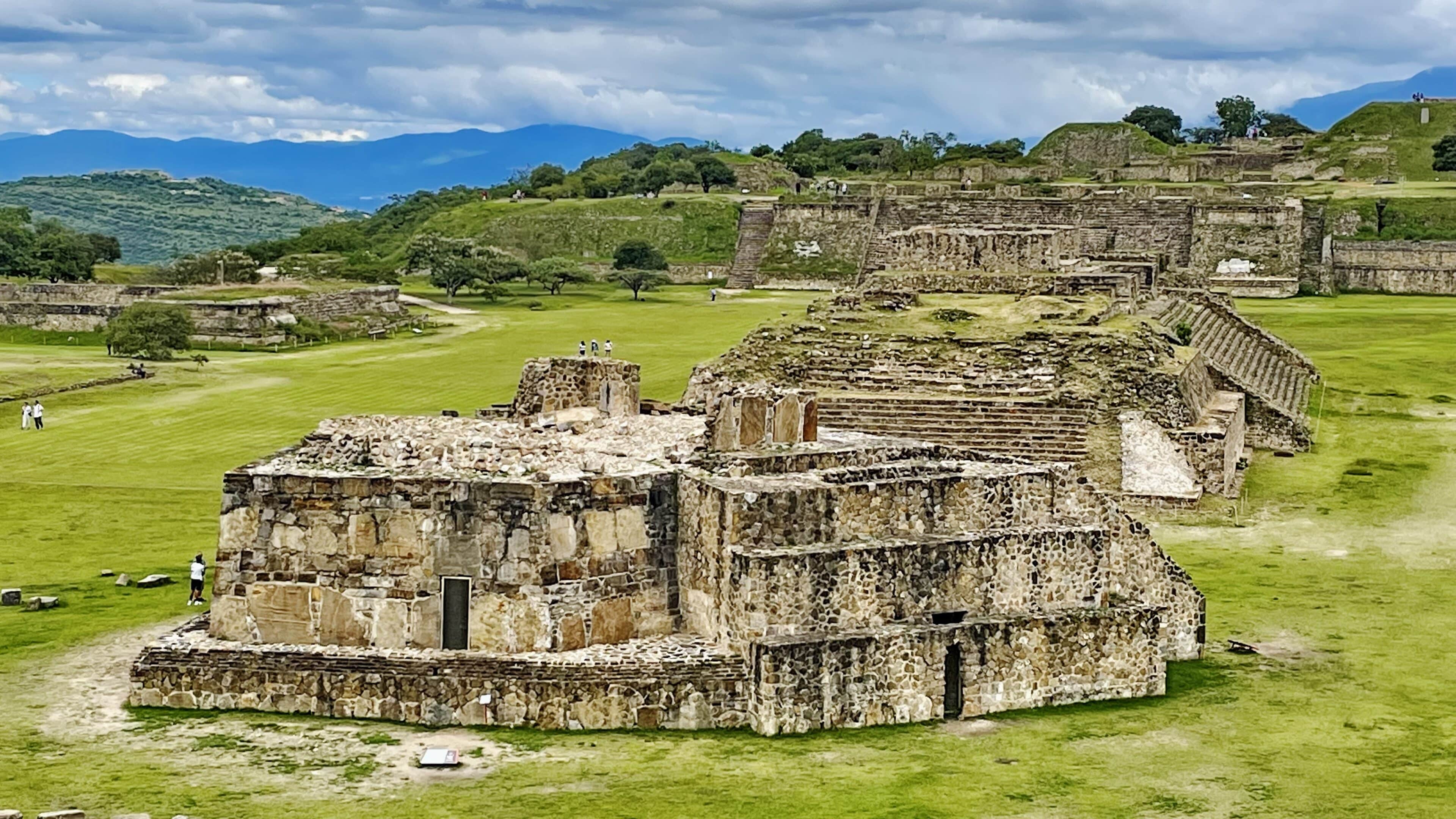
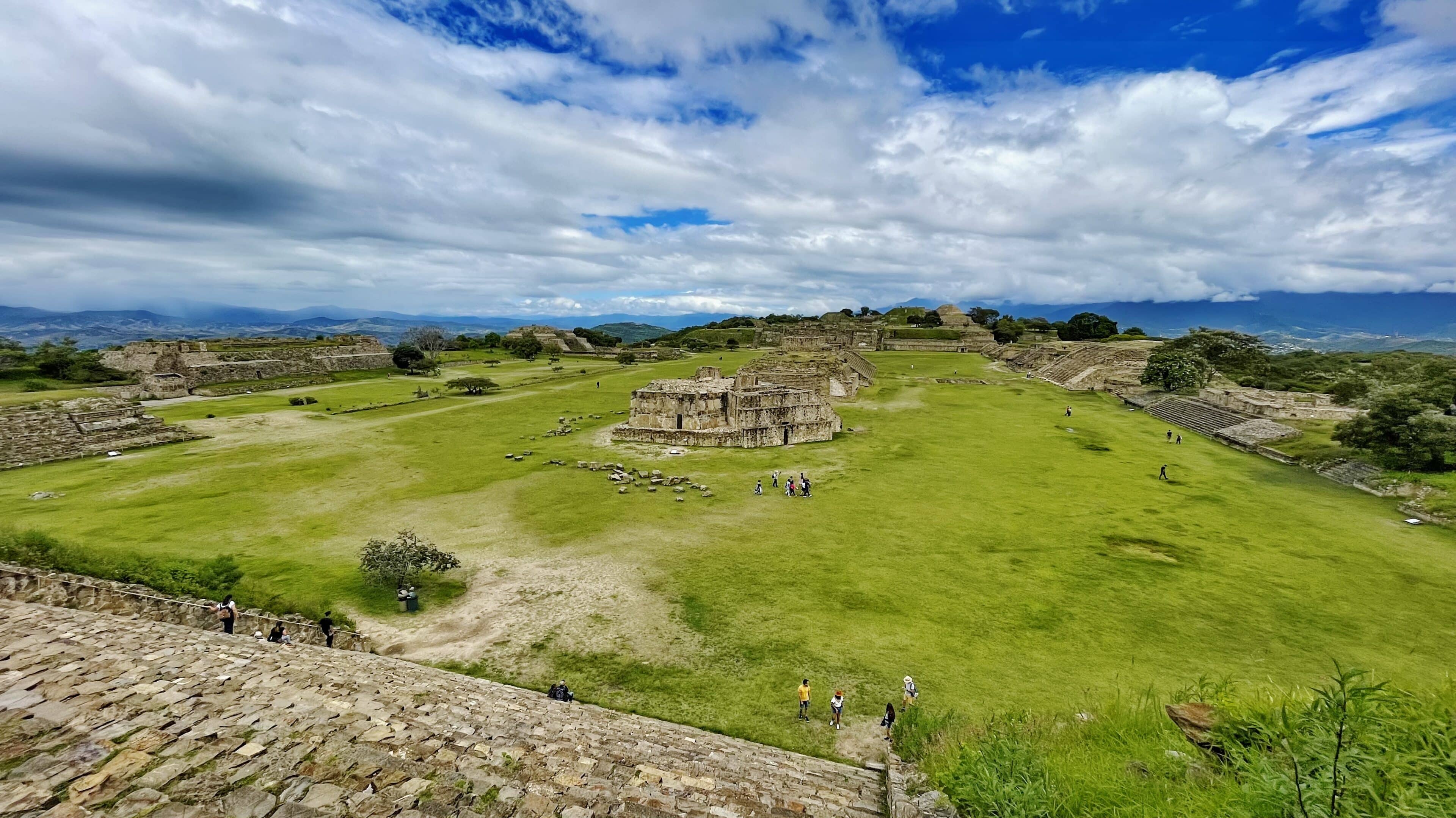
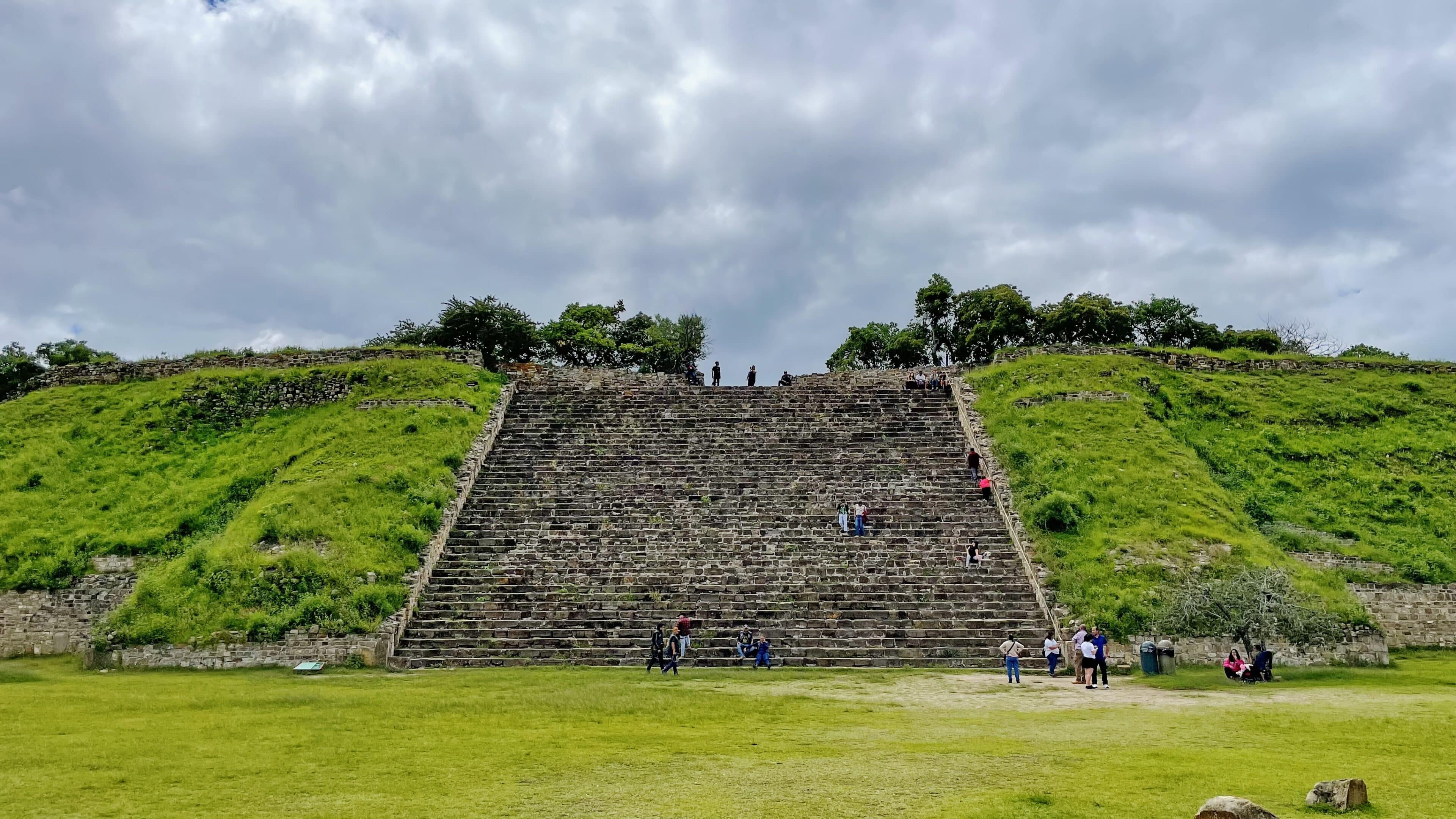
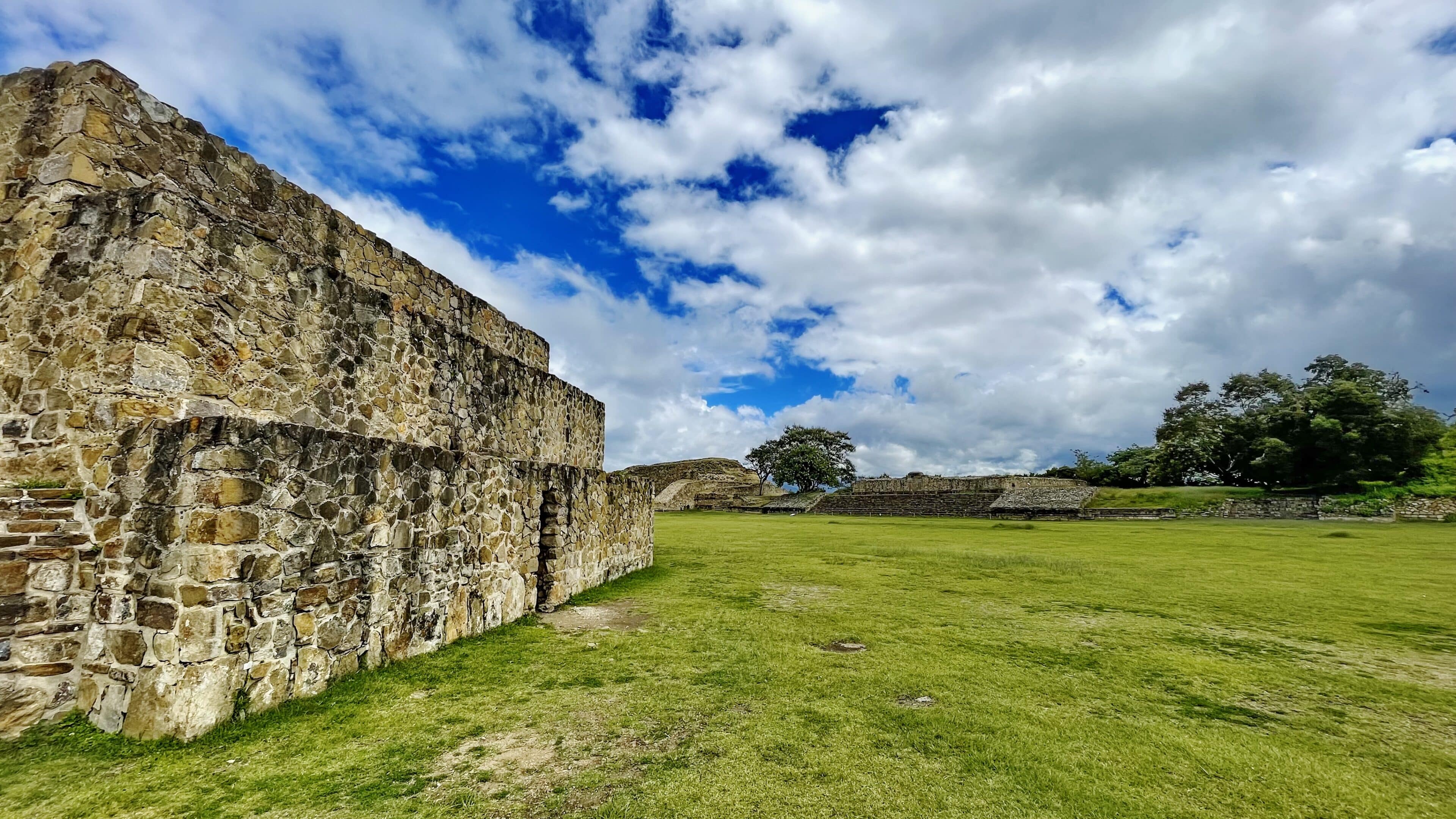
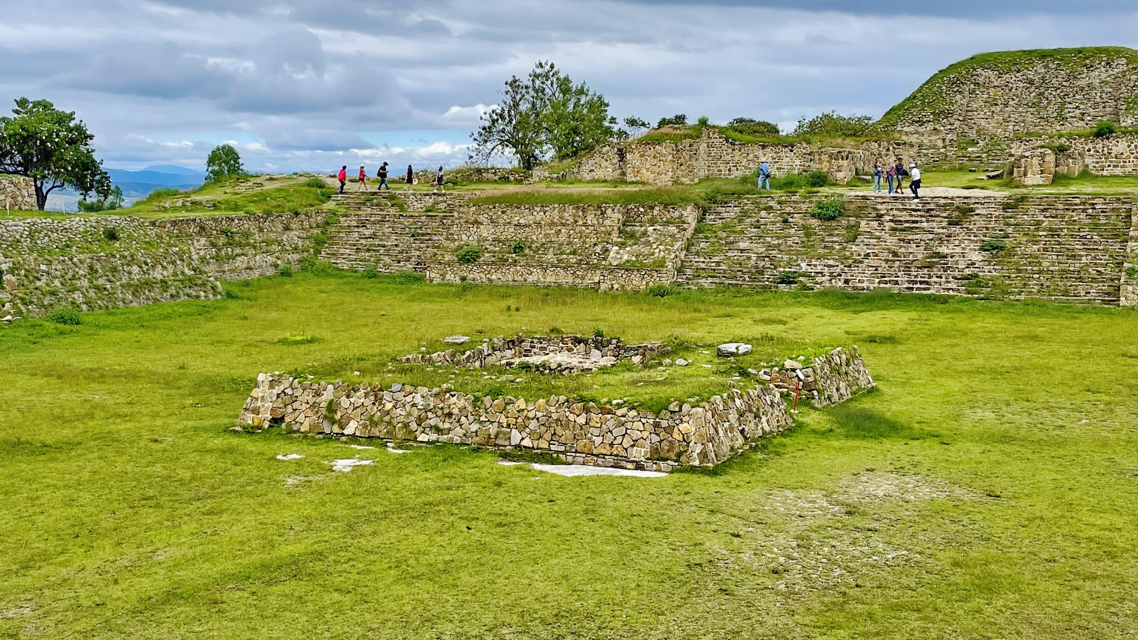
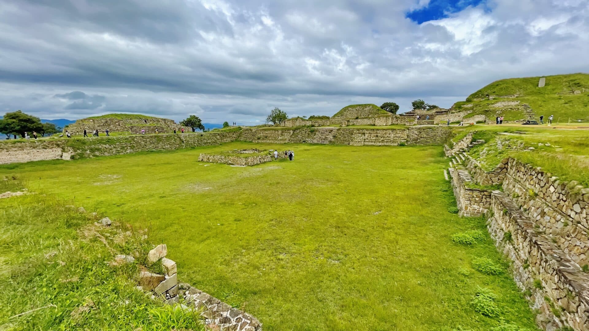
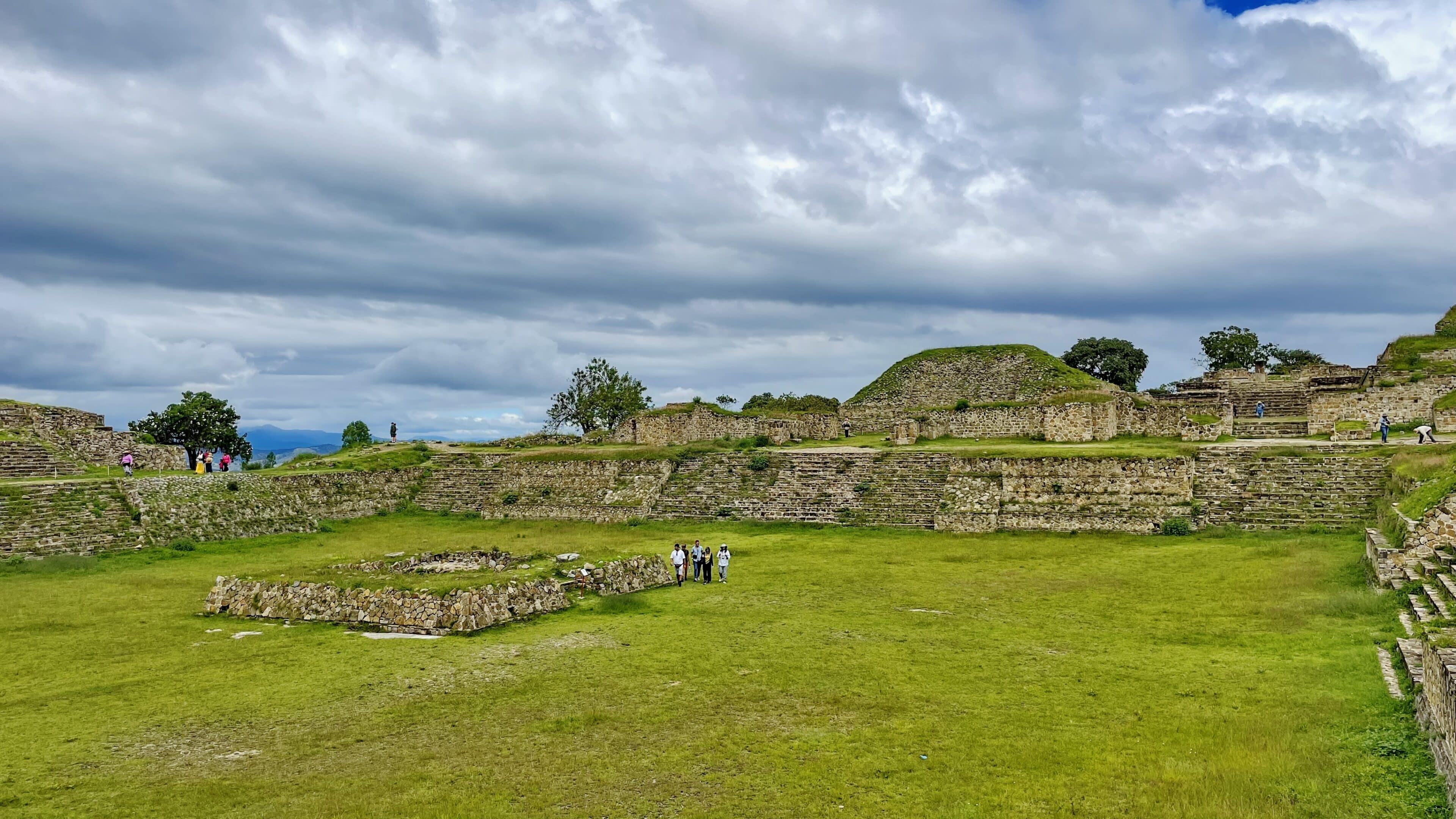
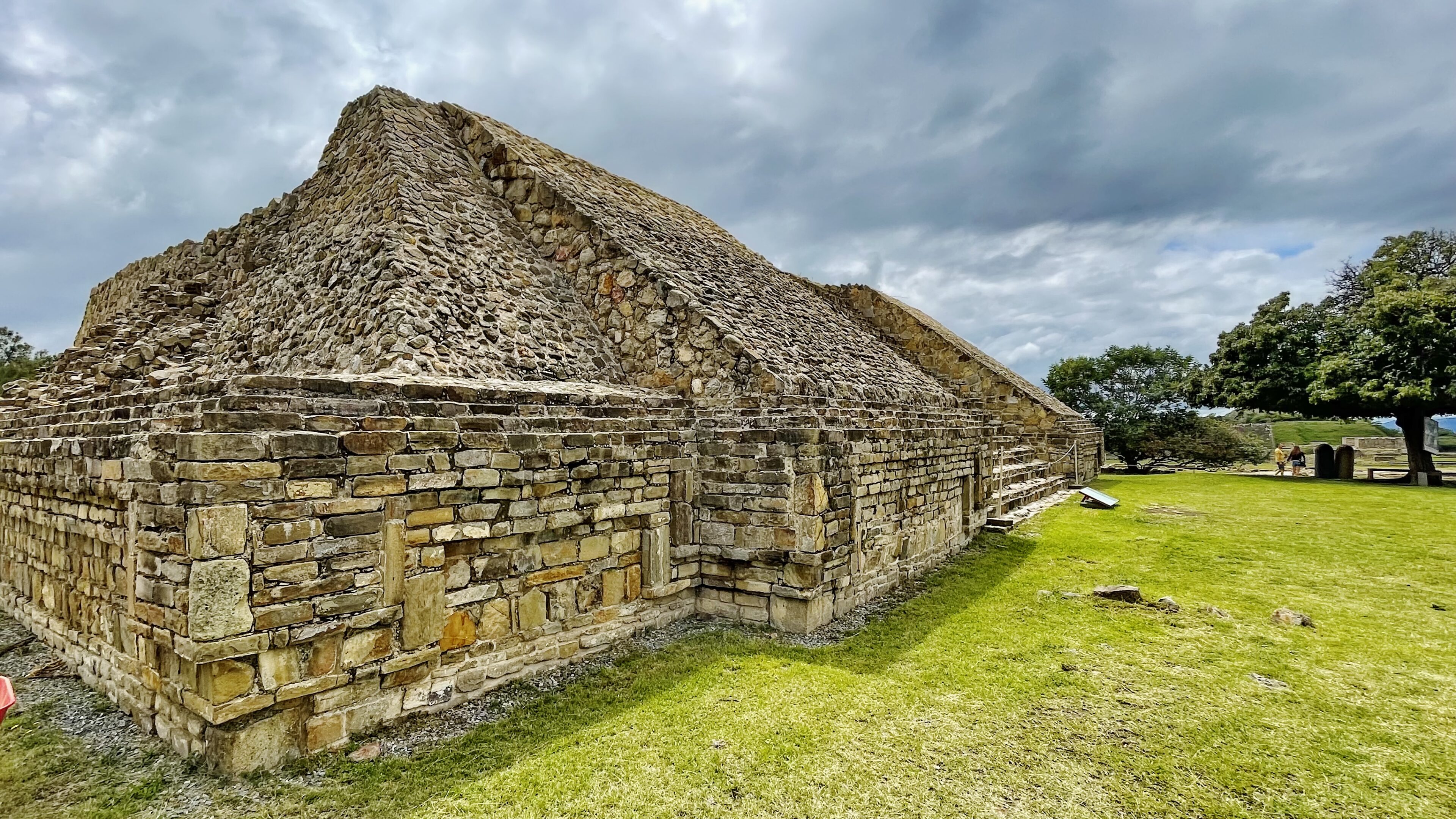
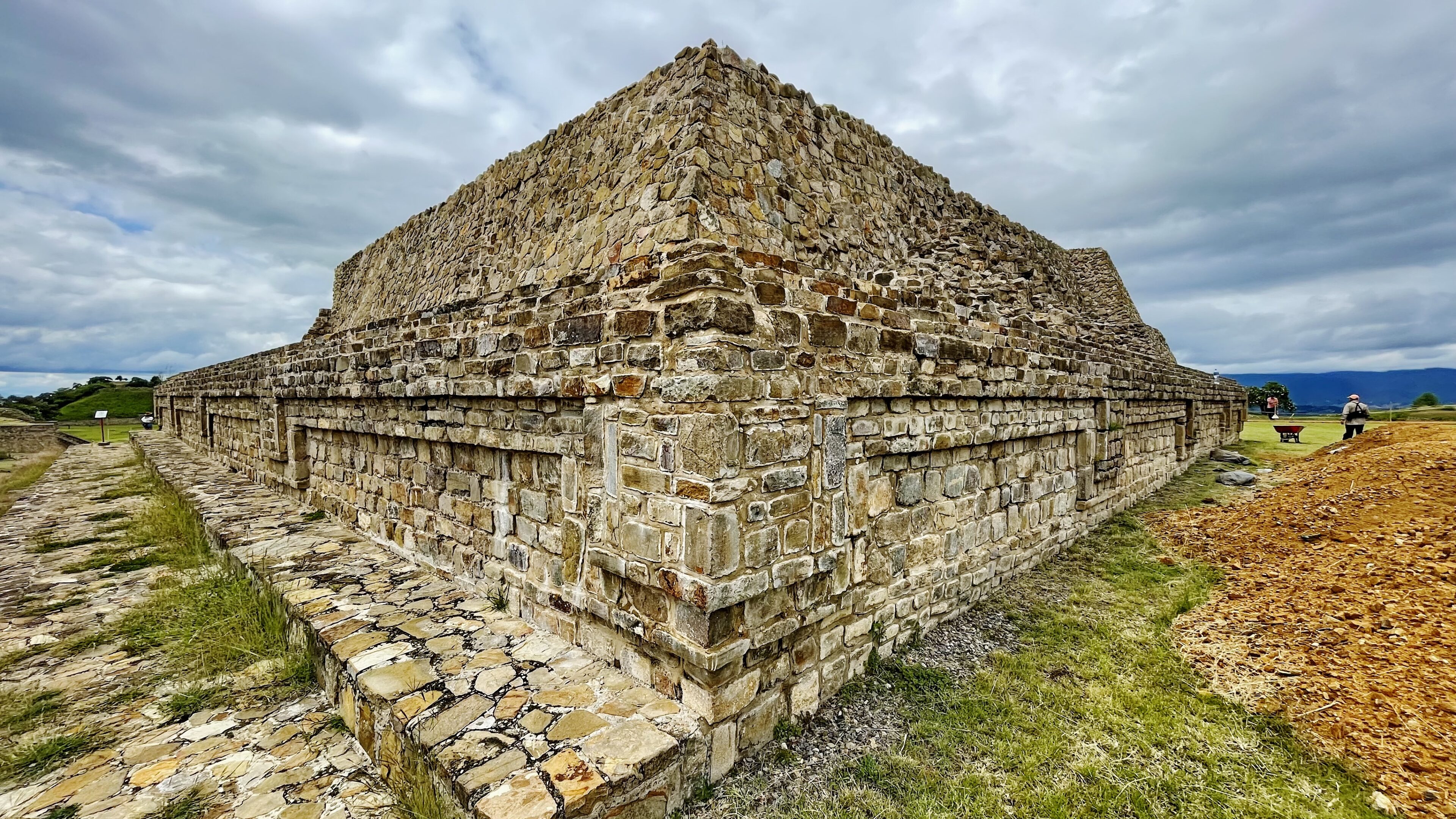
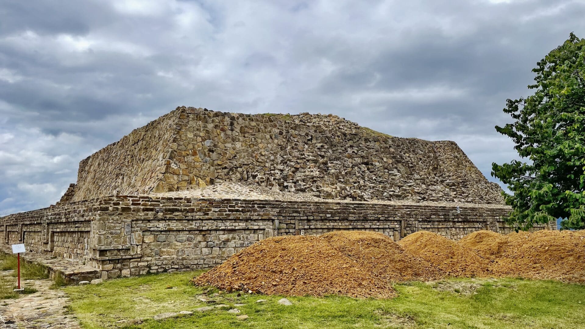
The monumental center of Monte Albán is the Main Plaza, which measures approximately 300 meters by 150 meters. The Main Plaza was created through artificial levelling of the mountaintop, being covered in white plaster afterwards. The plaza would have had the capacity to hold the entire population of the city for participation in state-sponsored rituals. The site’s main civic-ceremonial and elite-residential structures are located around it or in its immediate vicinity. Most of these have been explored and restored by Alfonso Caso and his colleagues.
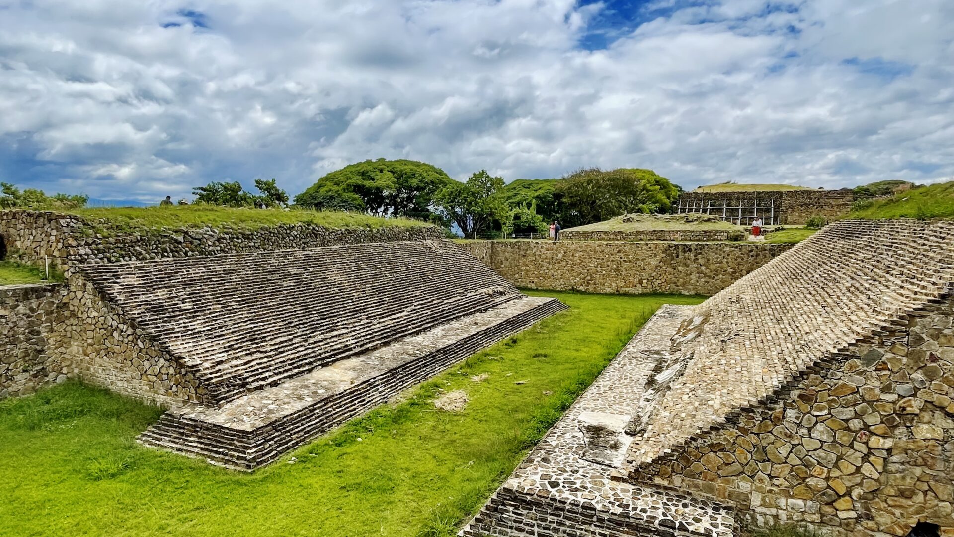
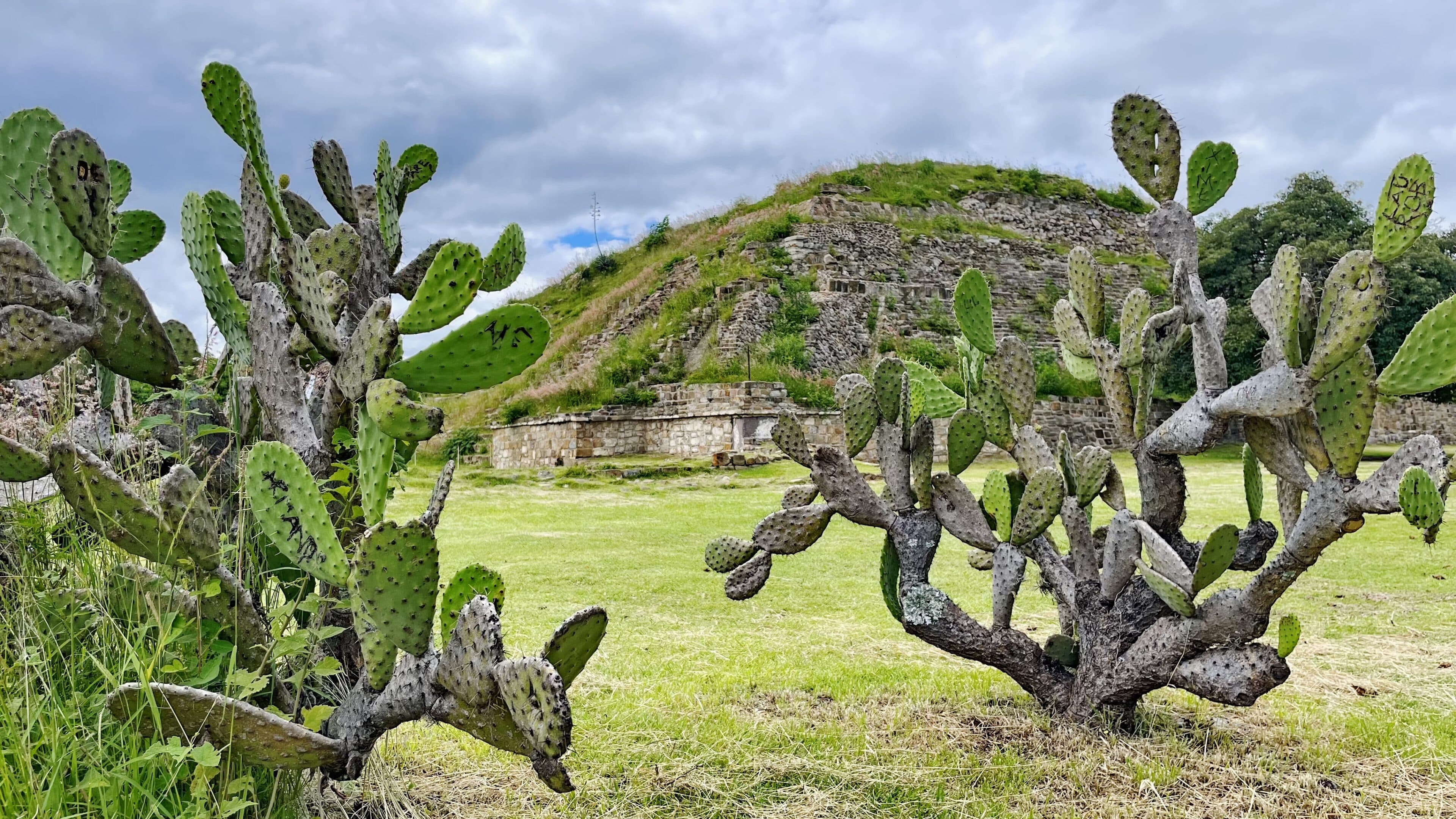
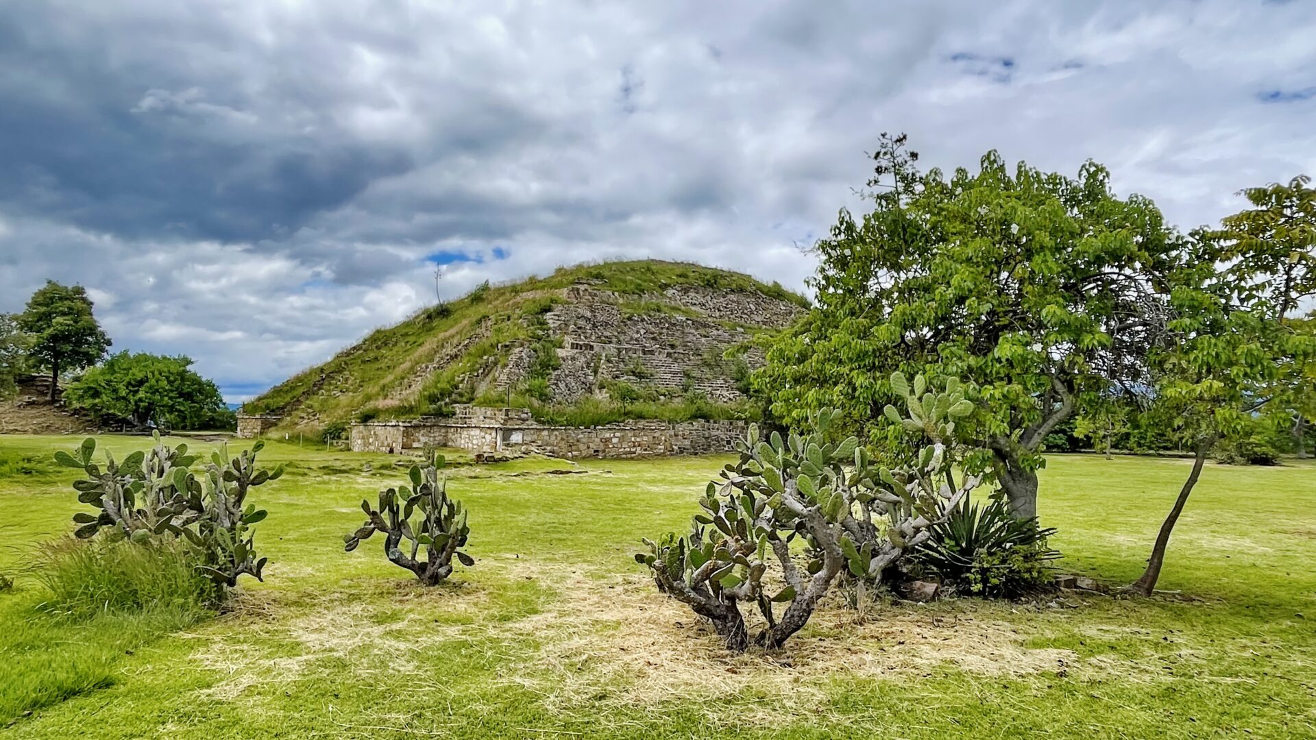
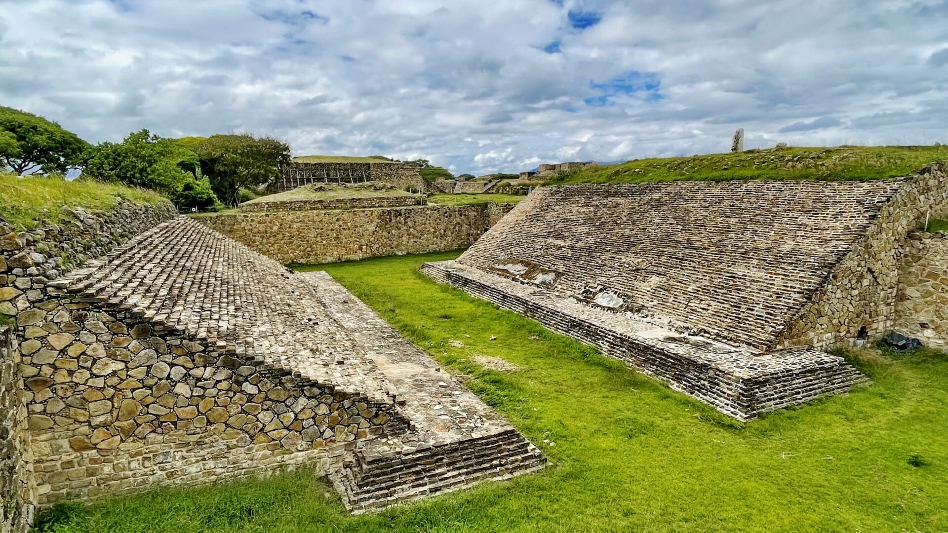
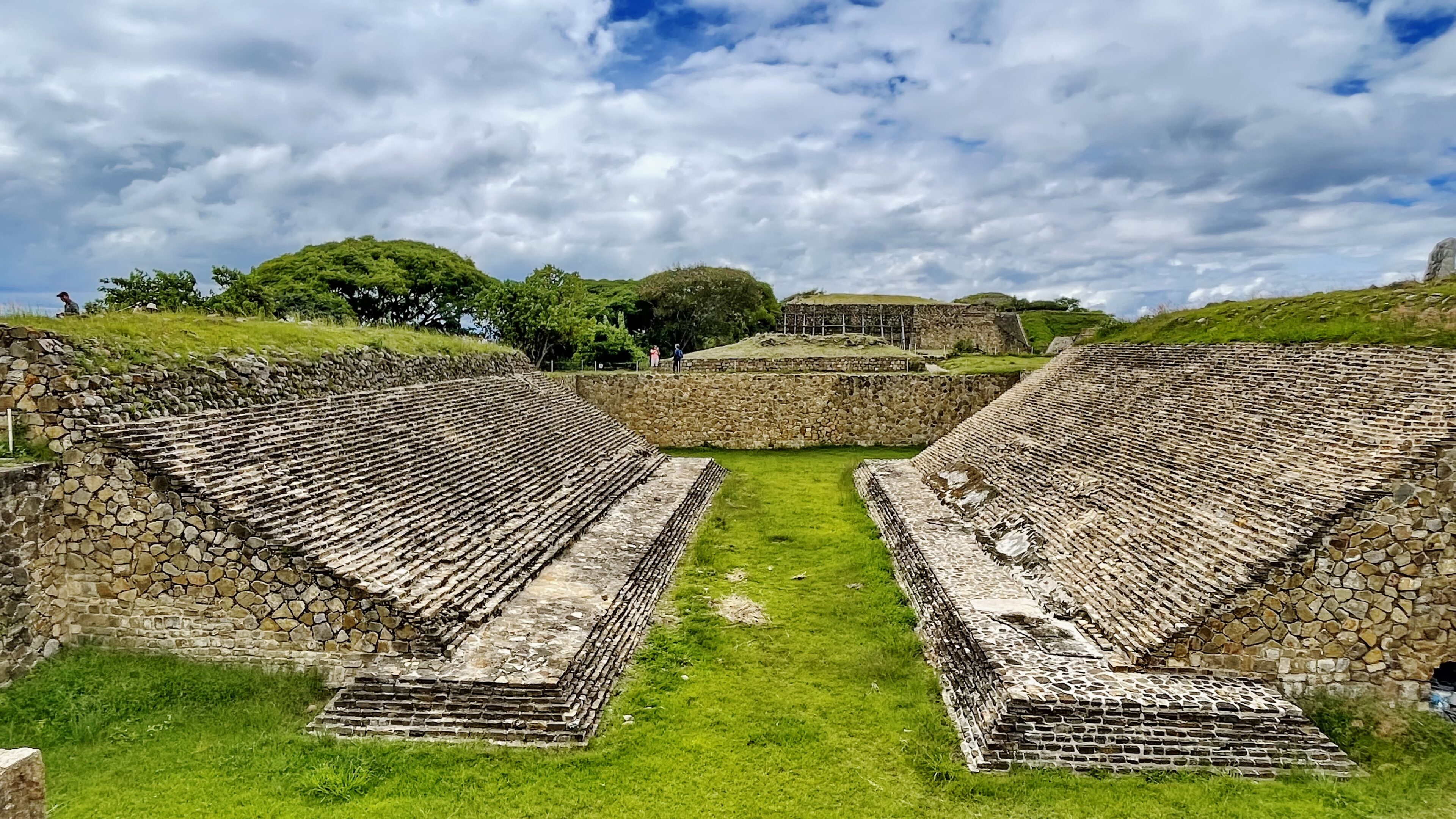
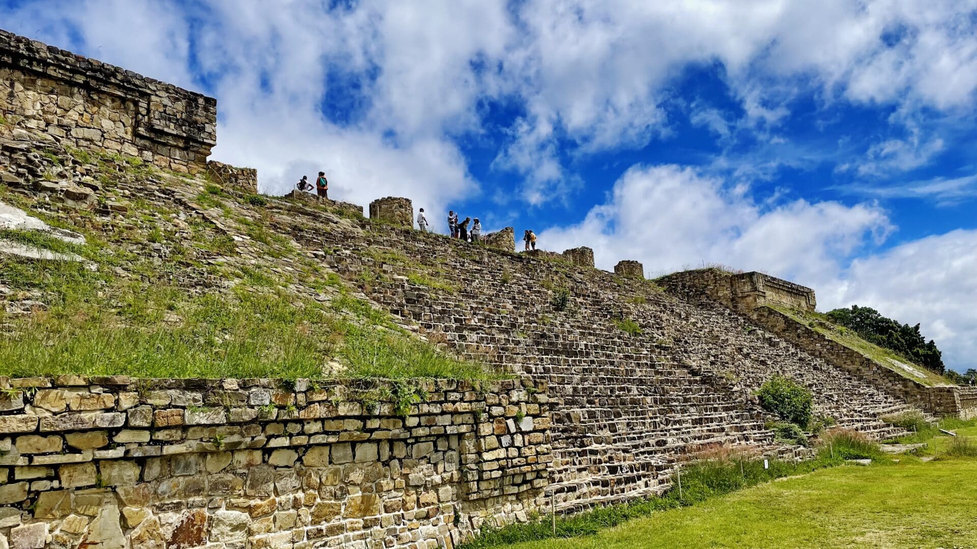
To the north and south the Main Plaza is delimited by large platforms accessible from the plaza via monumental staircases. On its eastern and western sides, the plaza is similarly bounded by a number of smaller platform mounds, on which stood temples and elite residences, as well as one of two ballcourts known to have existed at the site. A north-south spine of mounds occupies the center of the plaza and similarly served as platforms for ceremonial structures. The majority of the temples faced in the east or west directions, aligning with the sun’s path. The temples were constructed with a characteristic two-room floor plan: a communal porch situated at the front, connected to a lesser revealed sanctuary at the backend. This collection of sacred venues may have been dedicated to royal ancestors, who acted as supplicants to Cocijo.
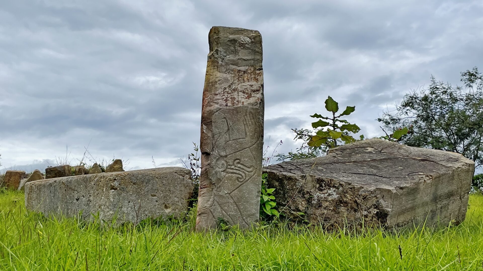
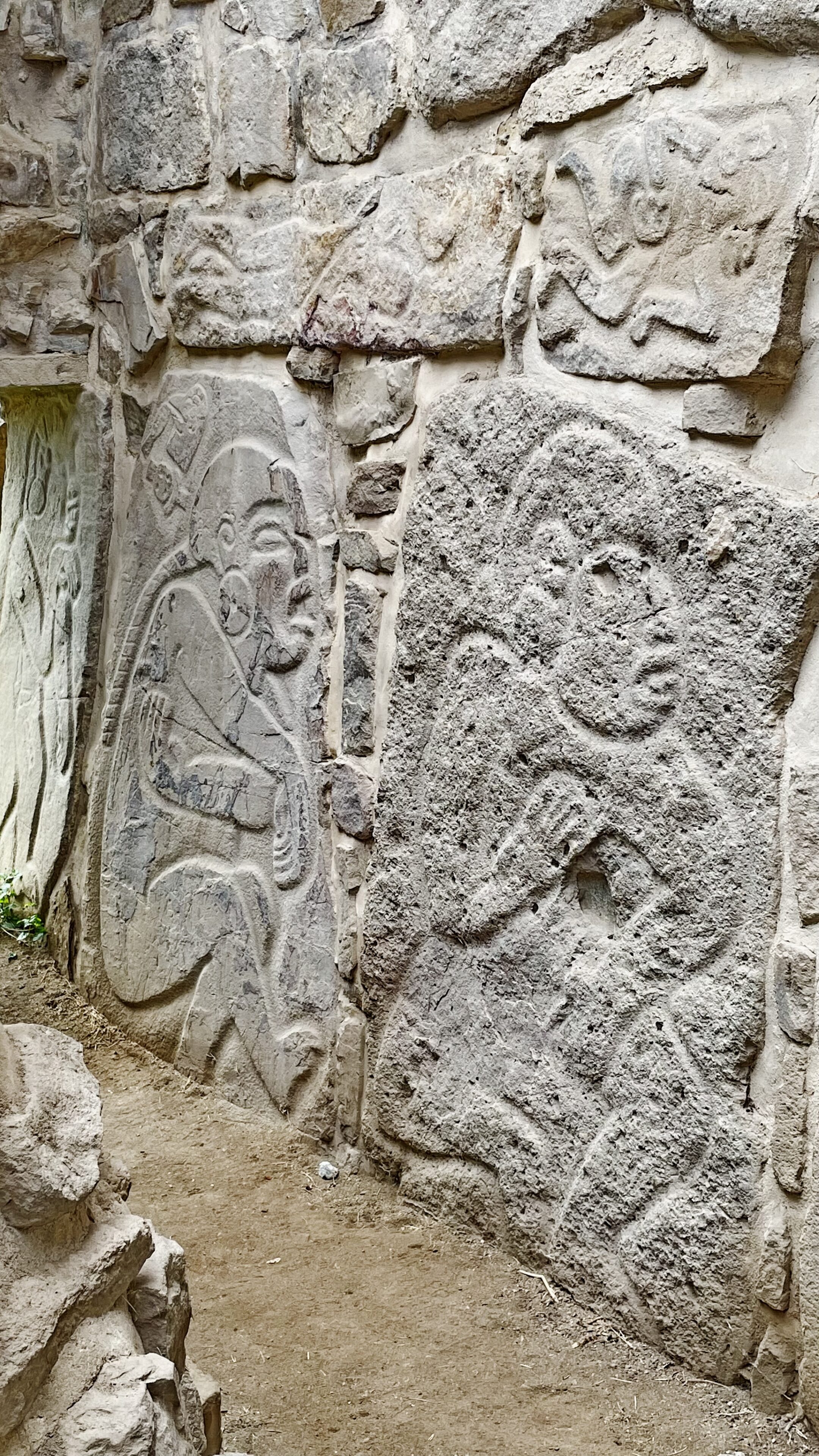
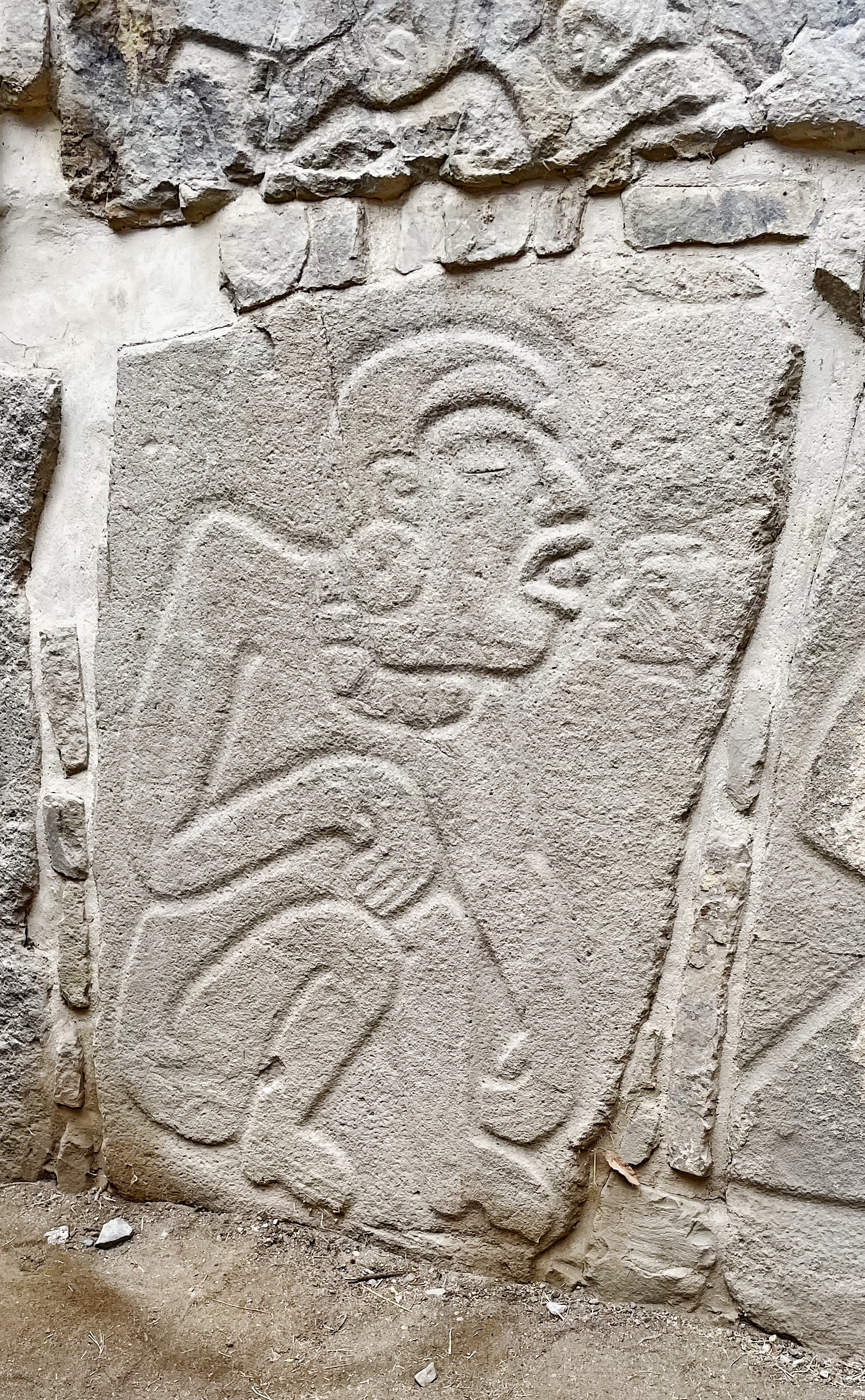
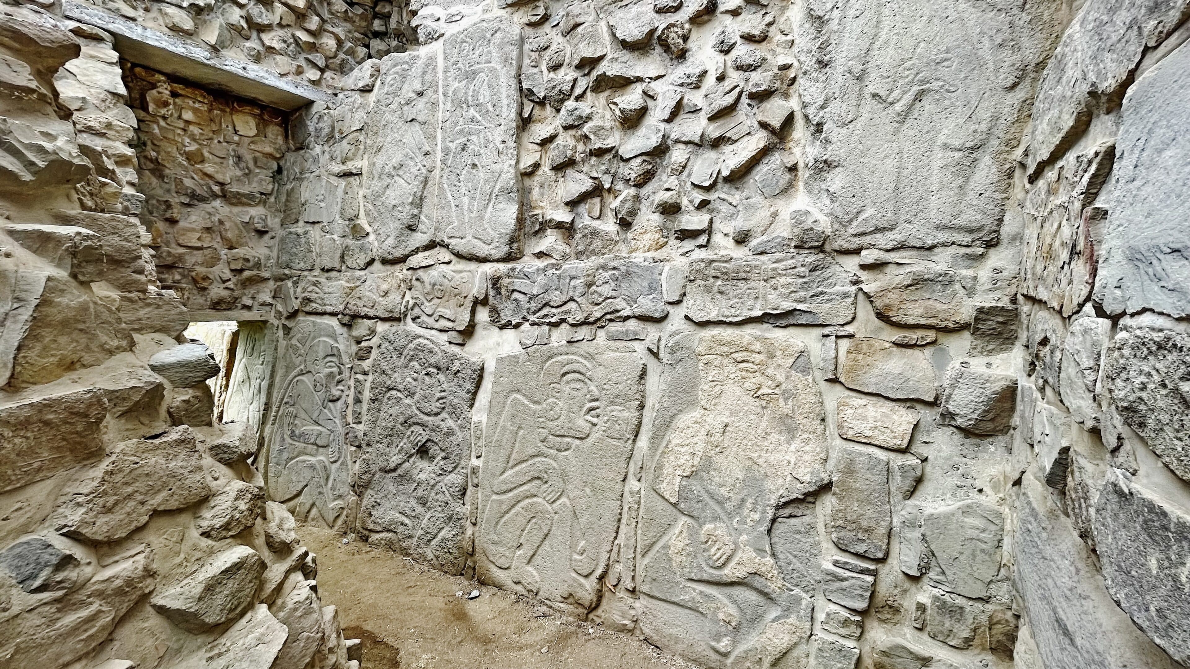
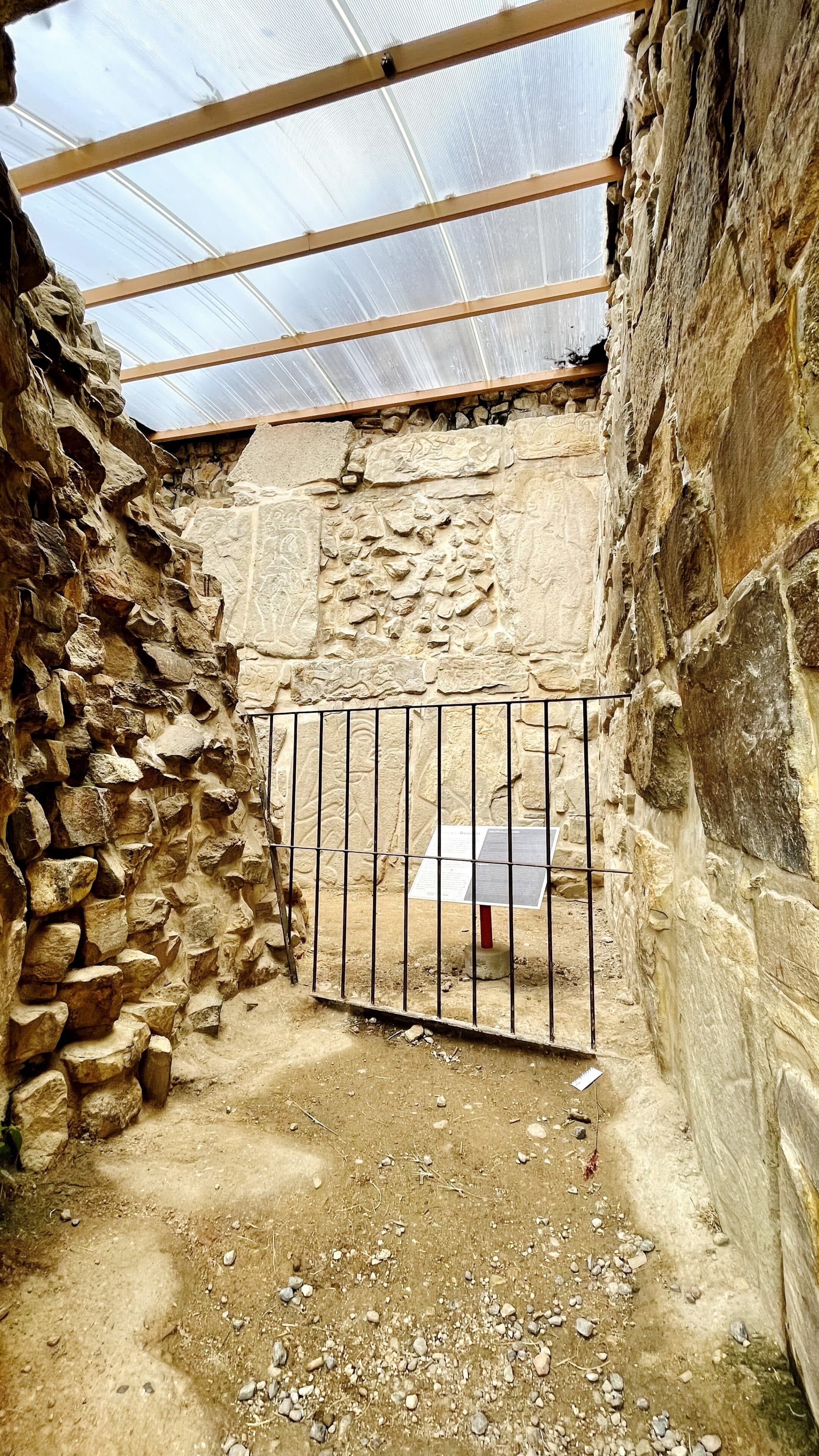
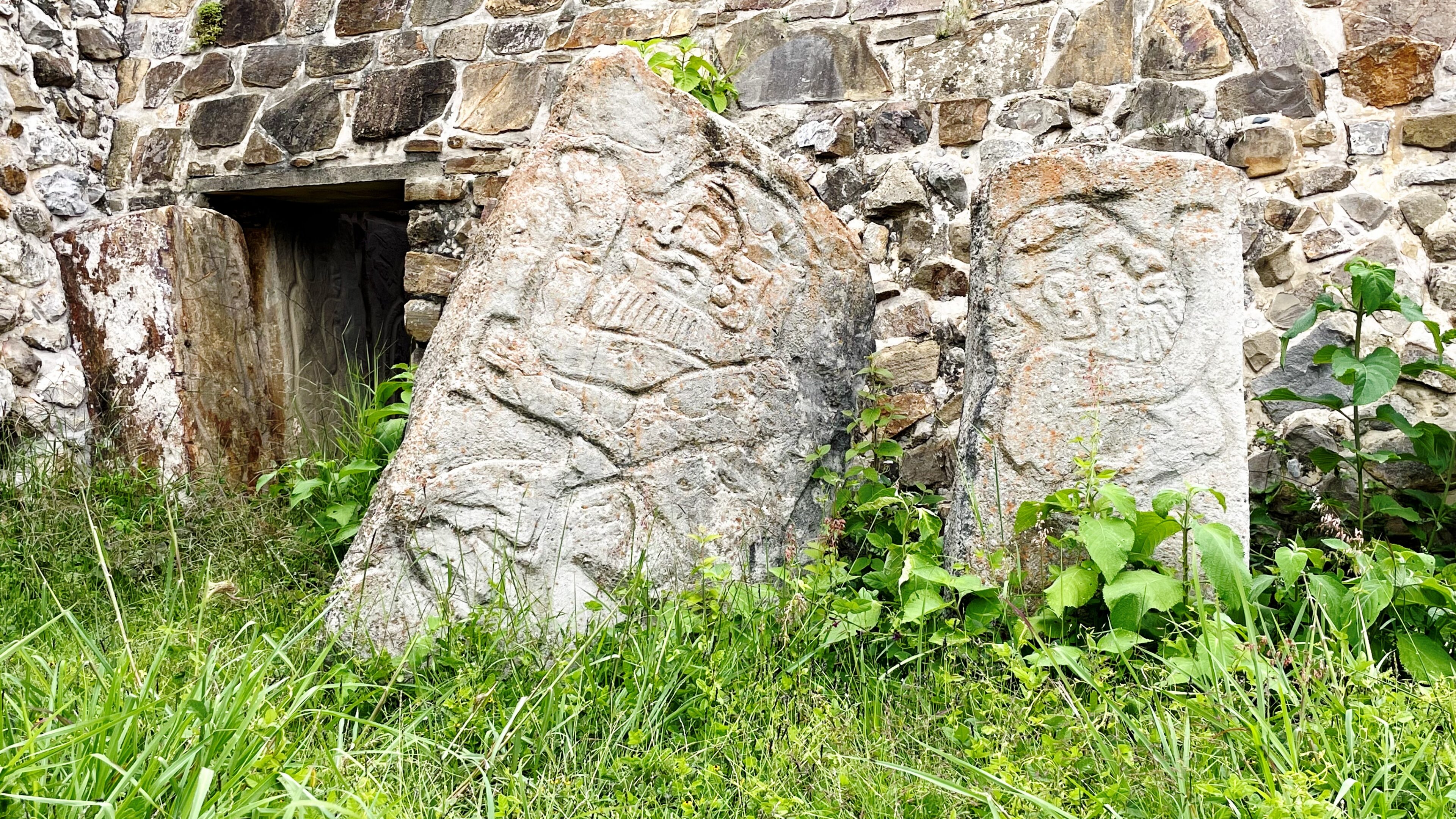
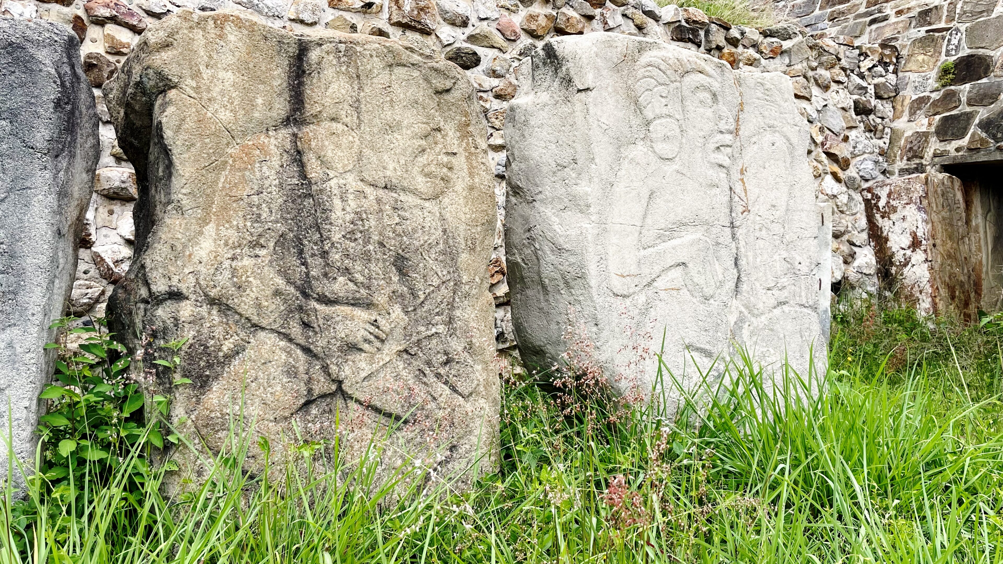
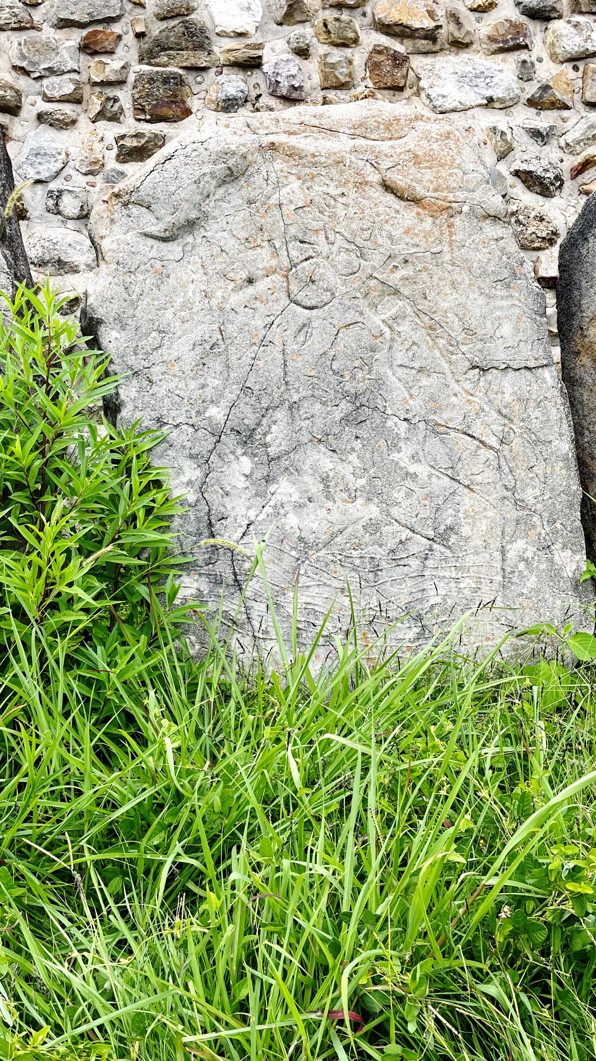
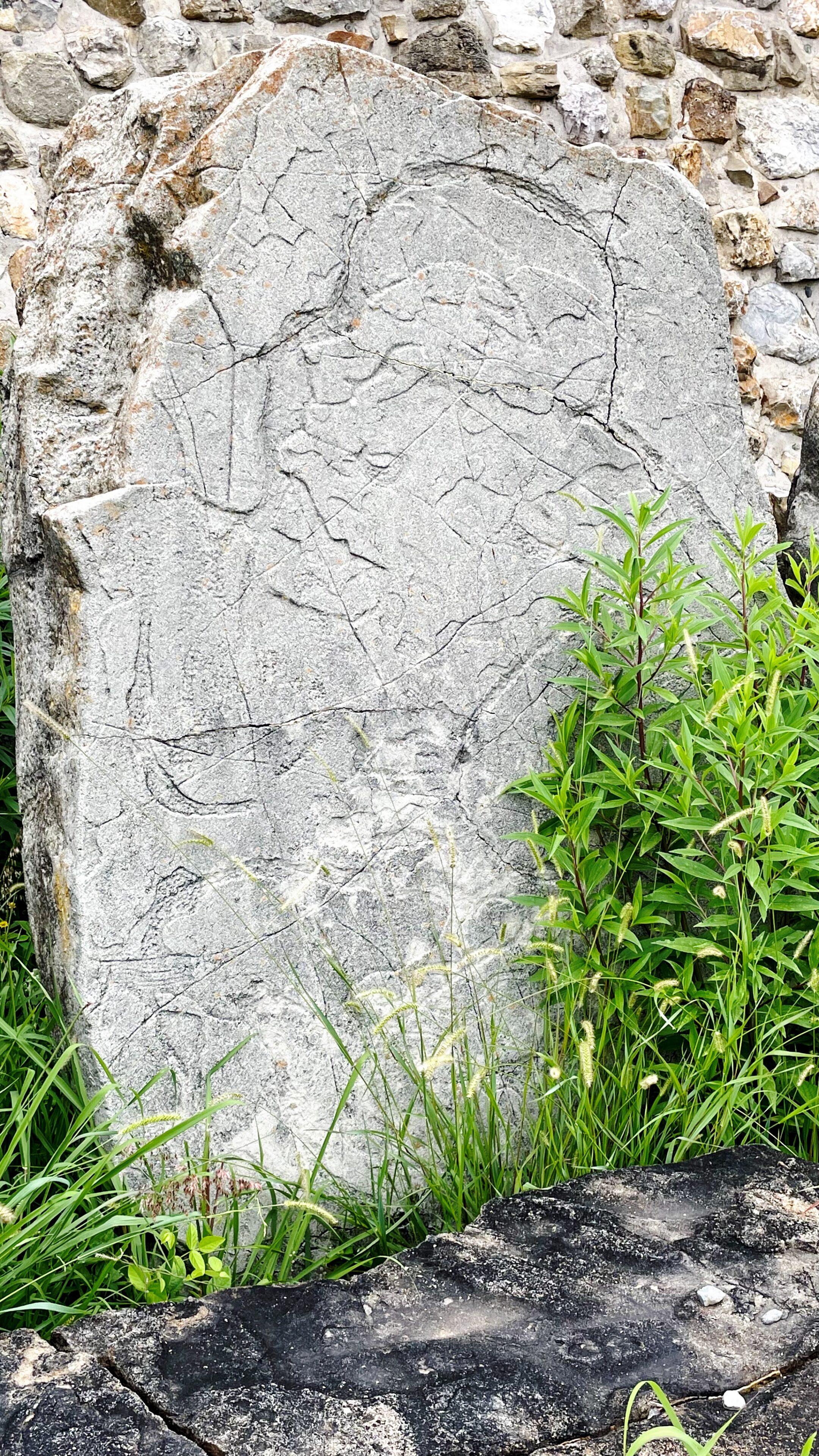
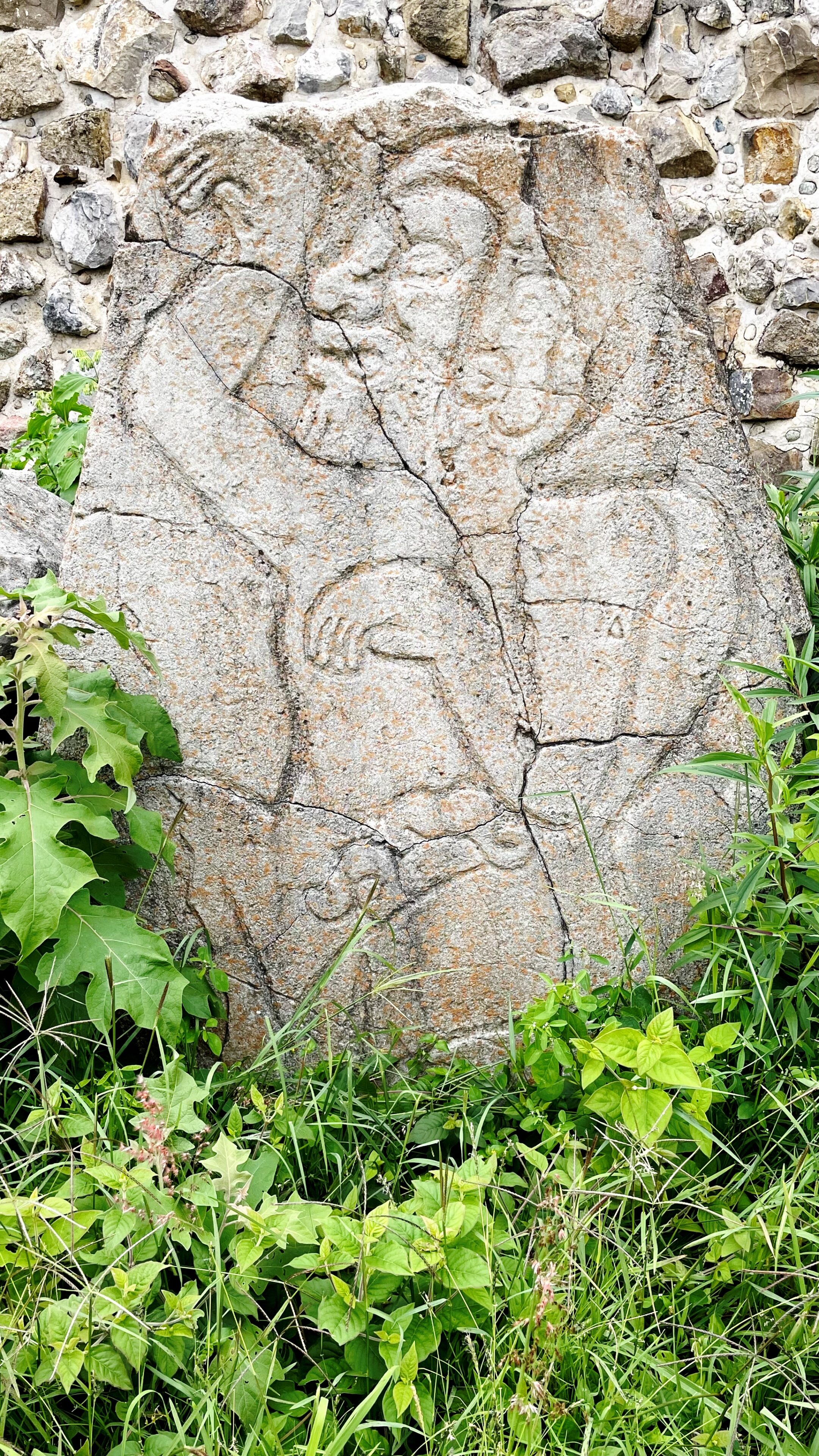
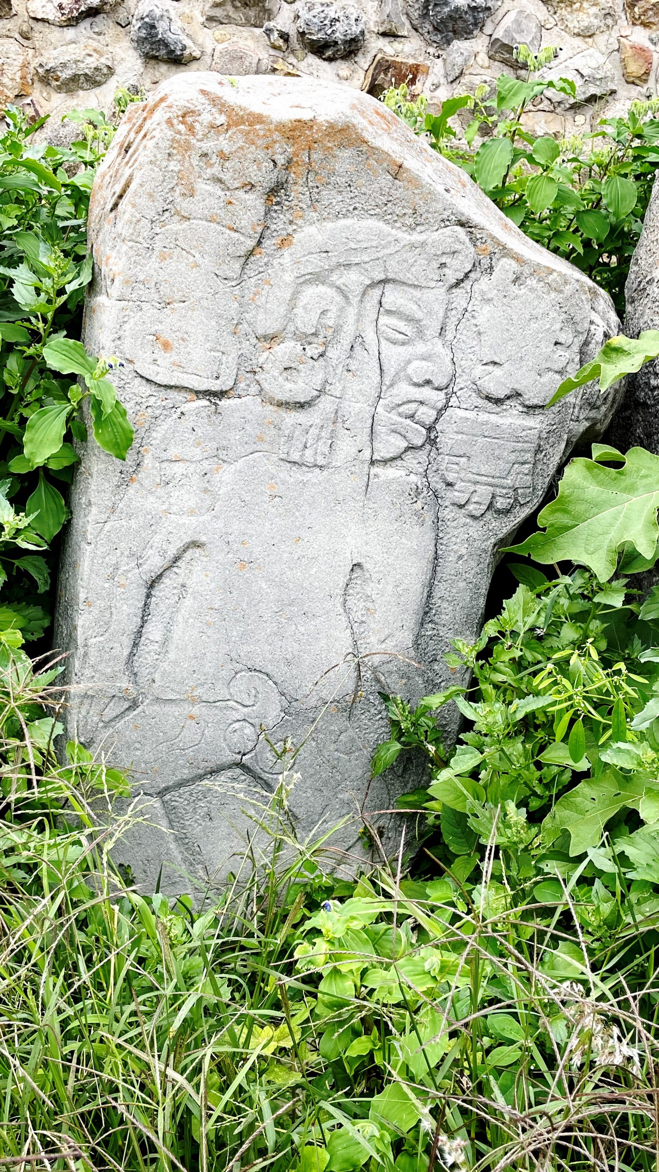
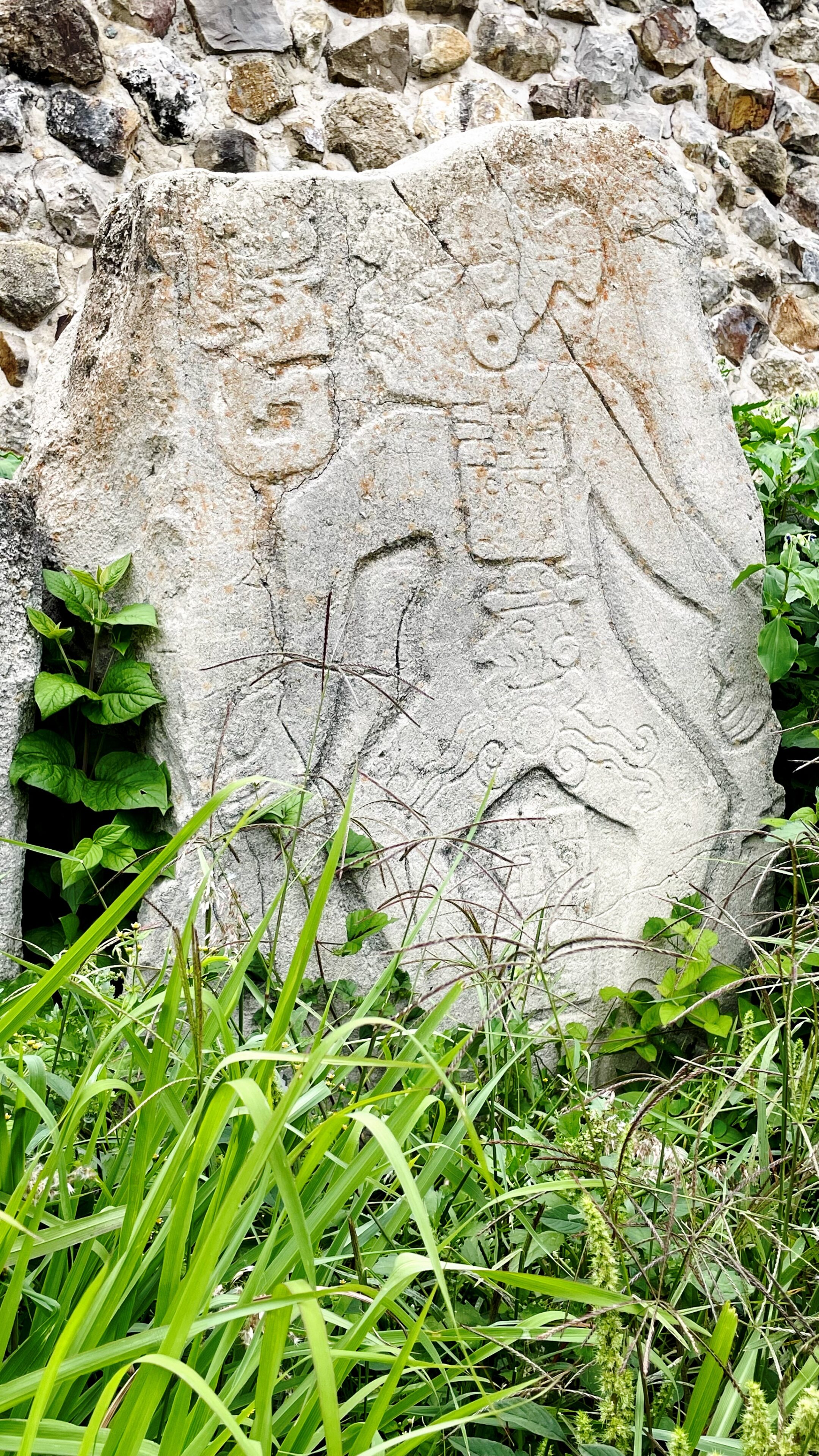
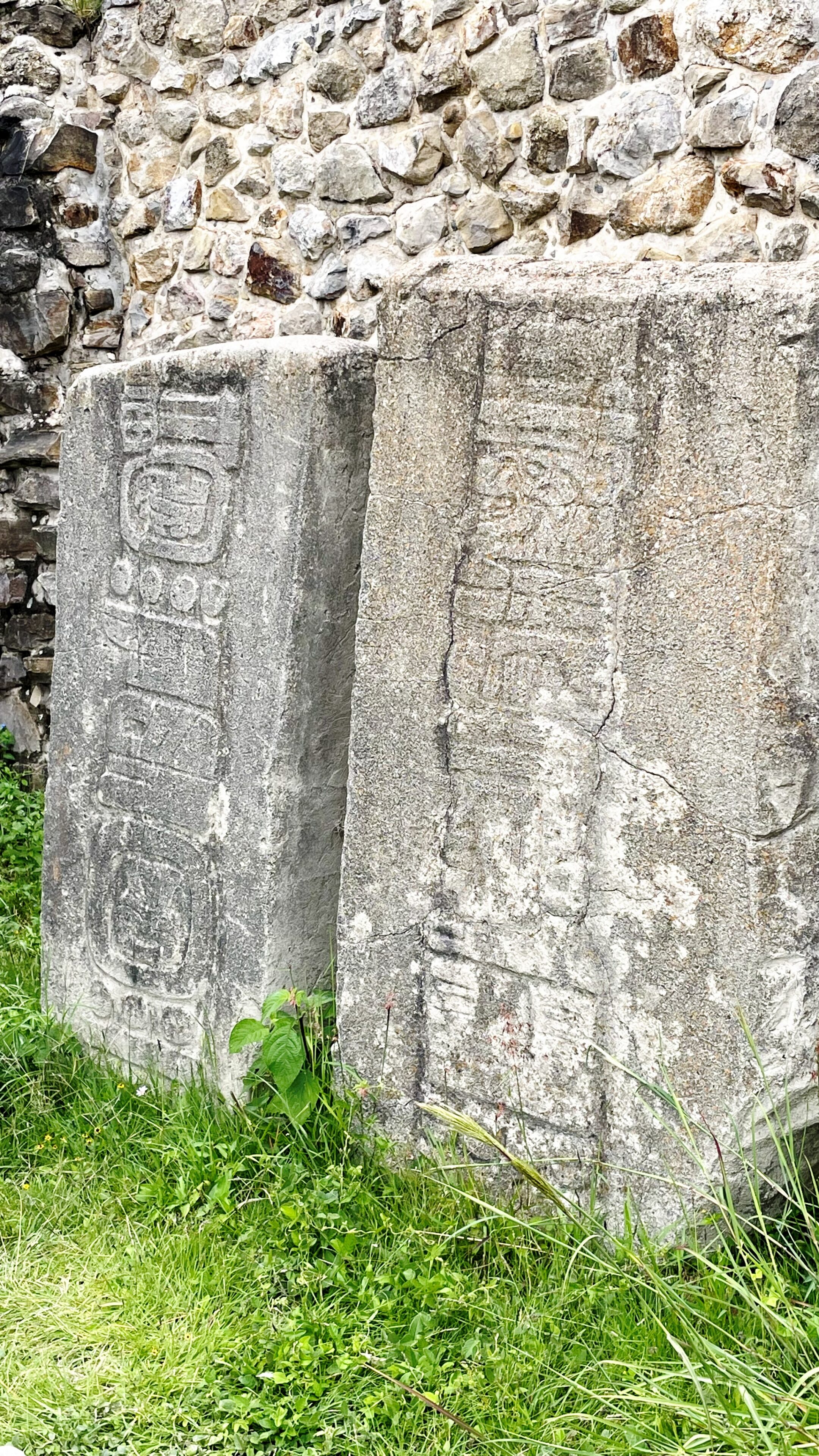
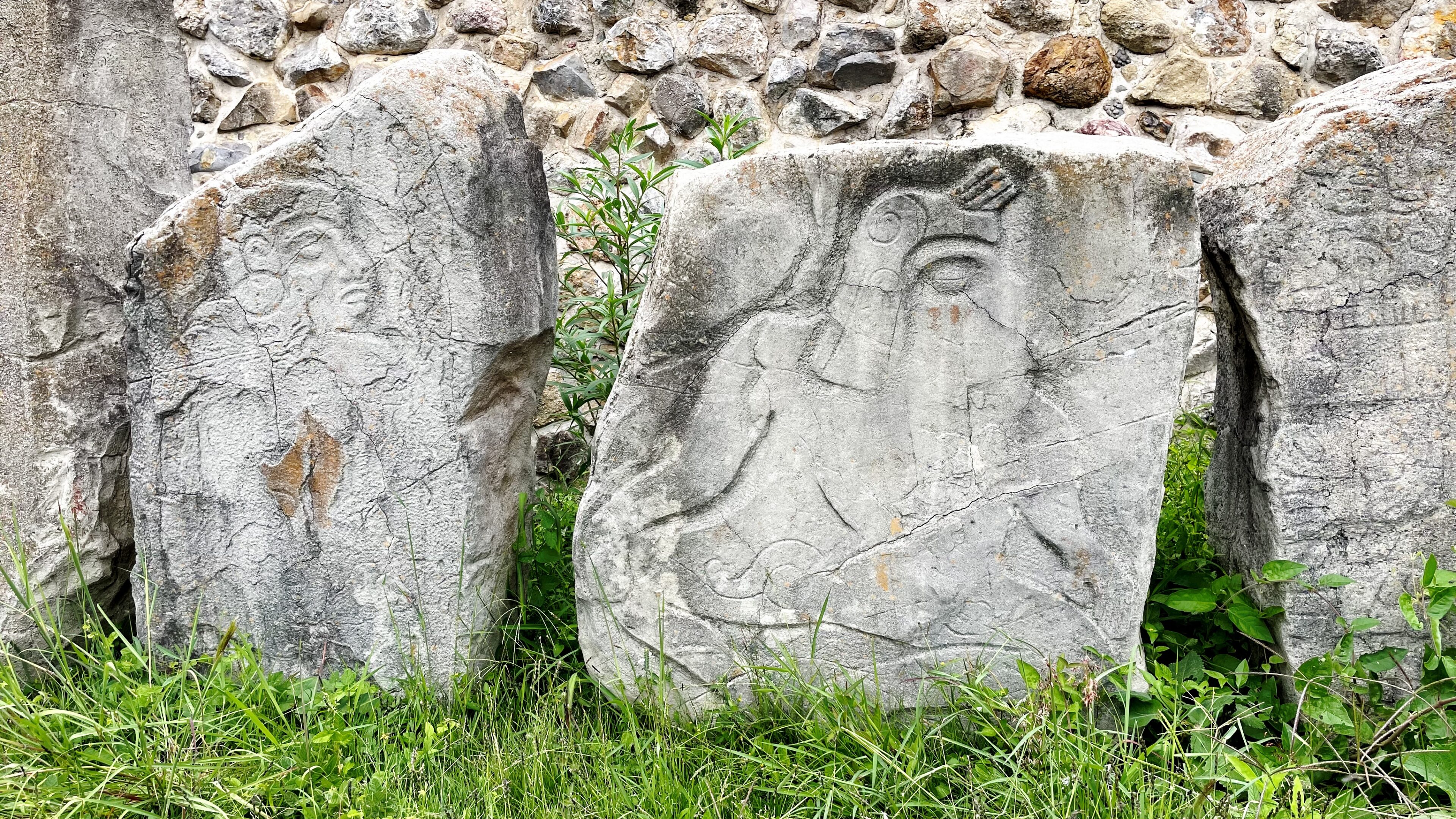
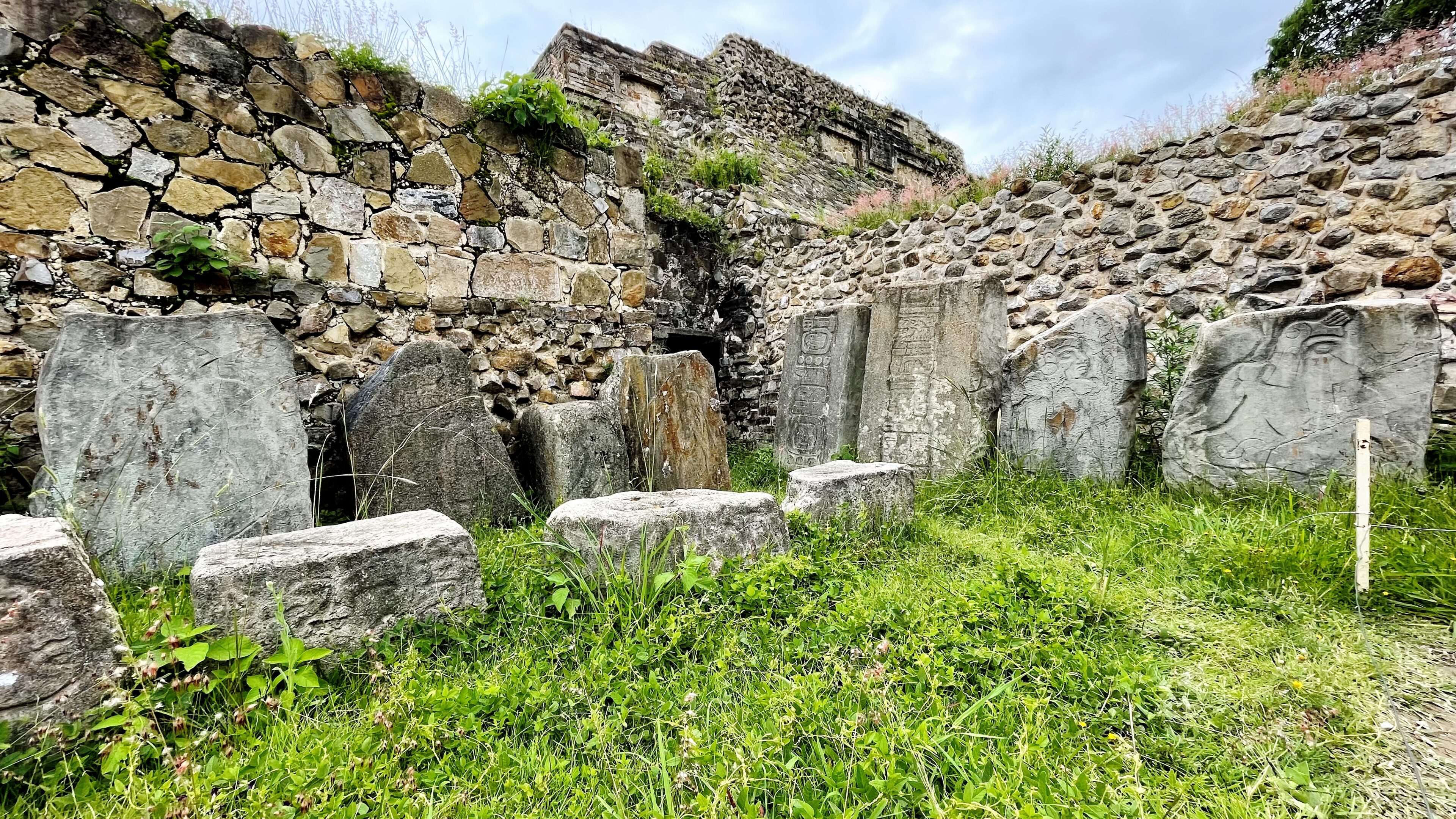
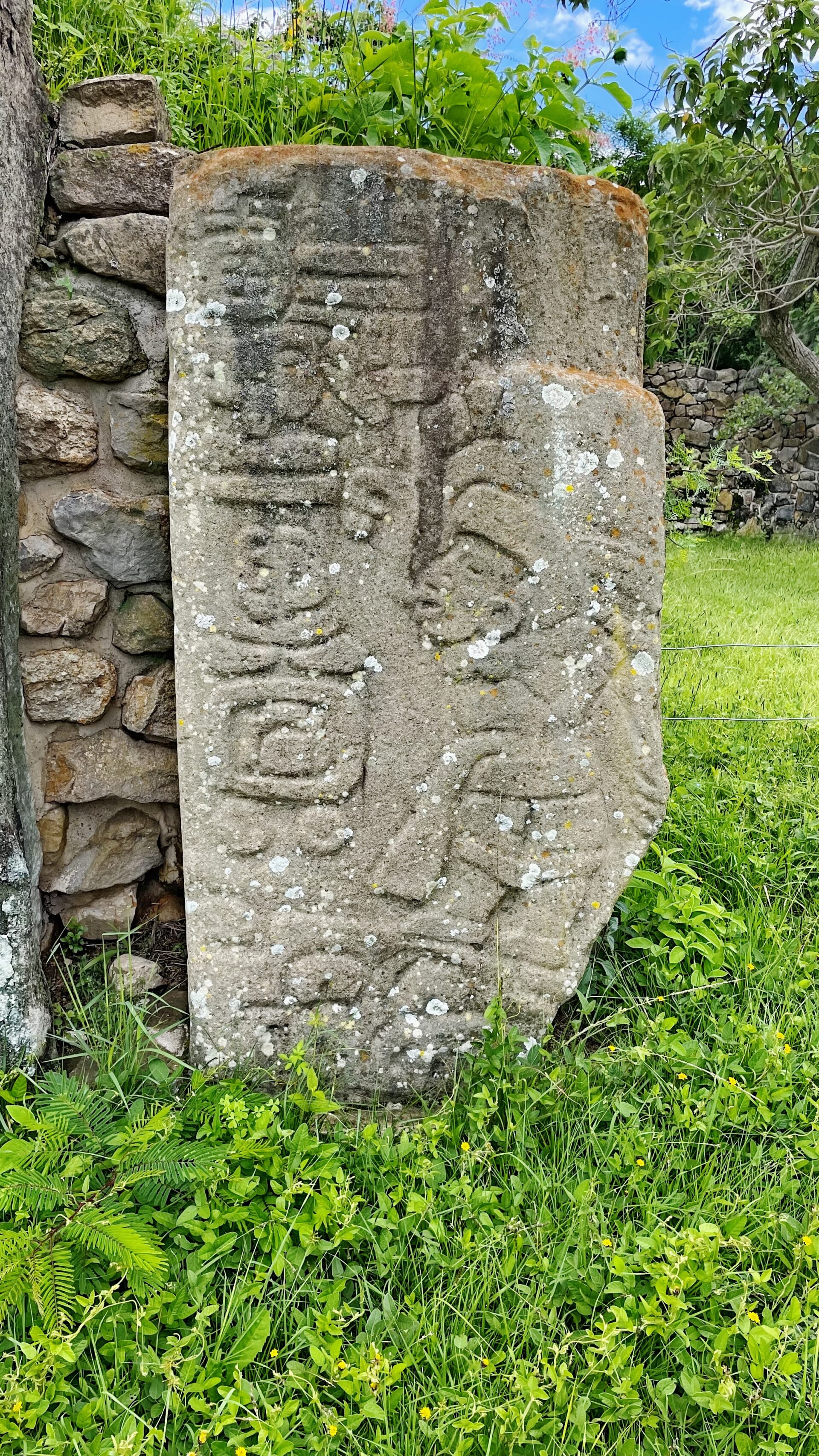
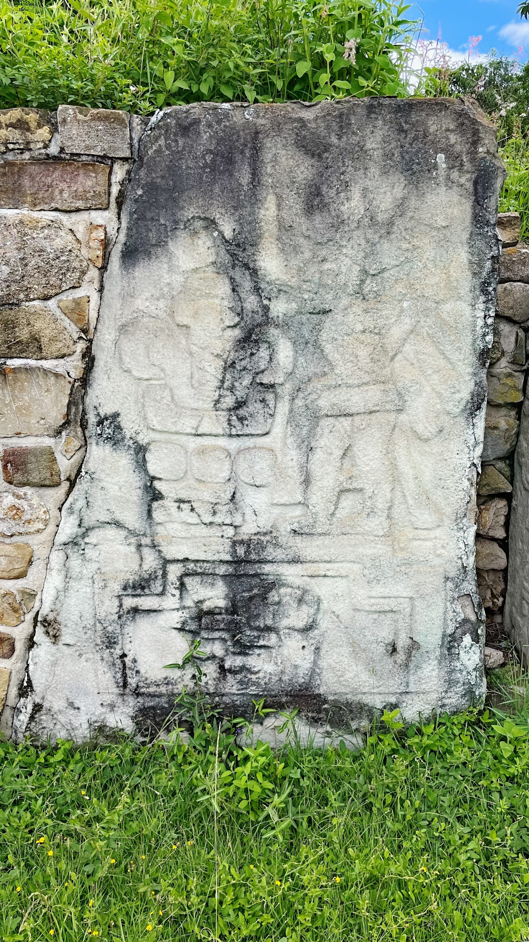
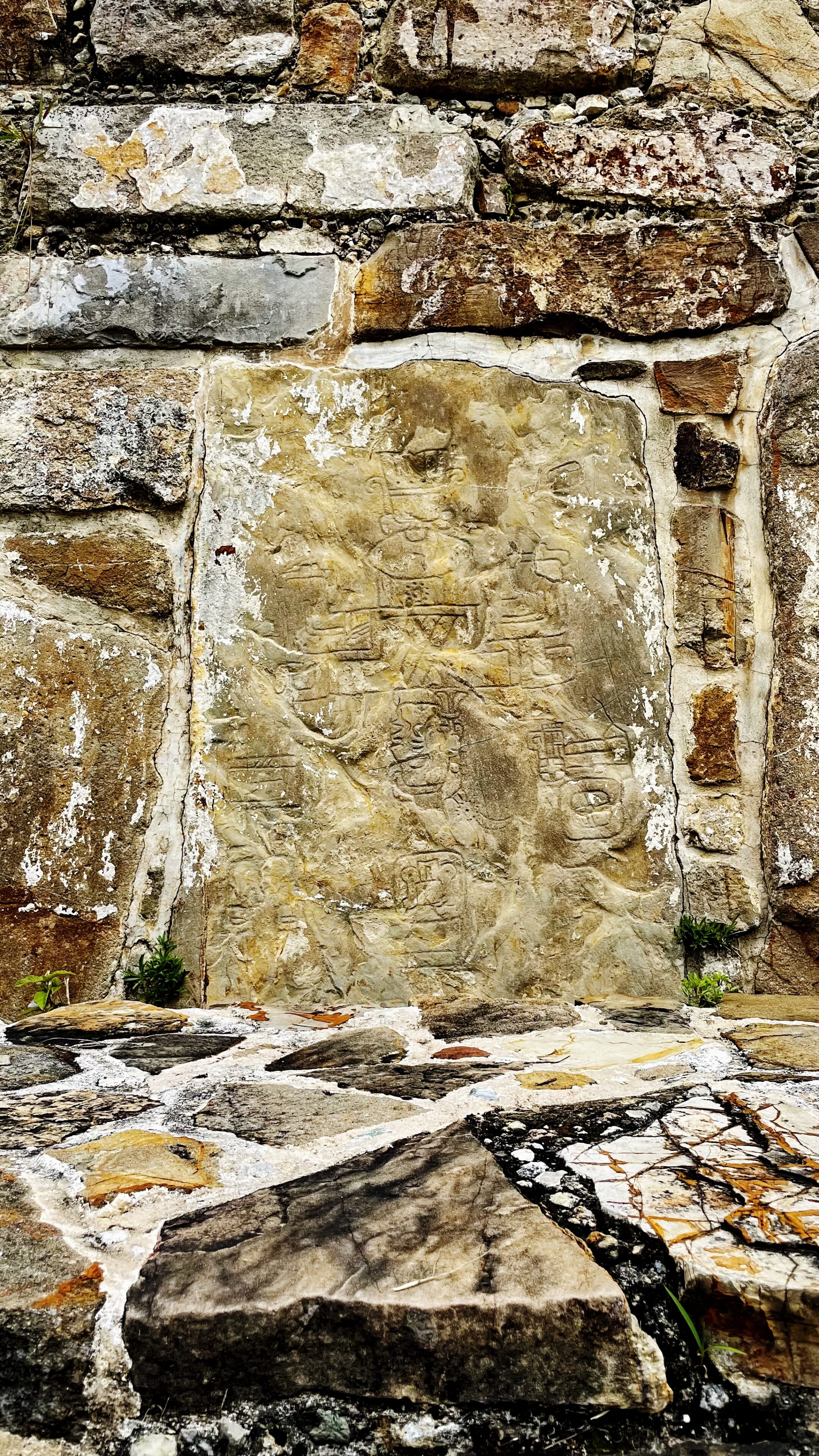
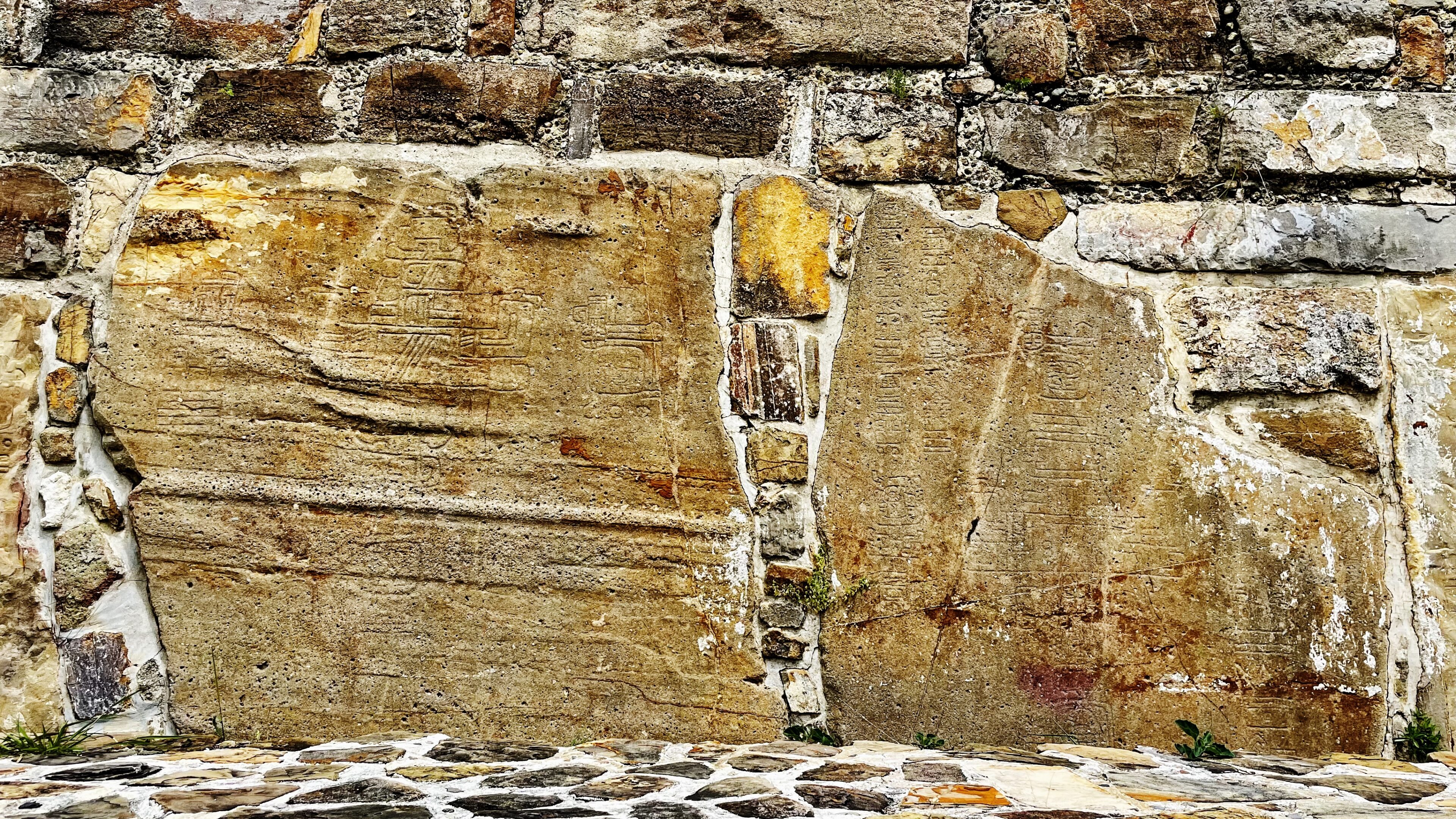
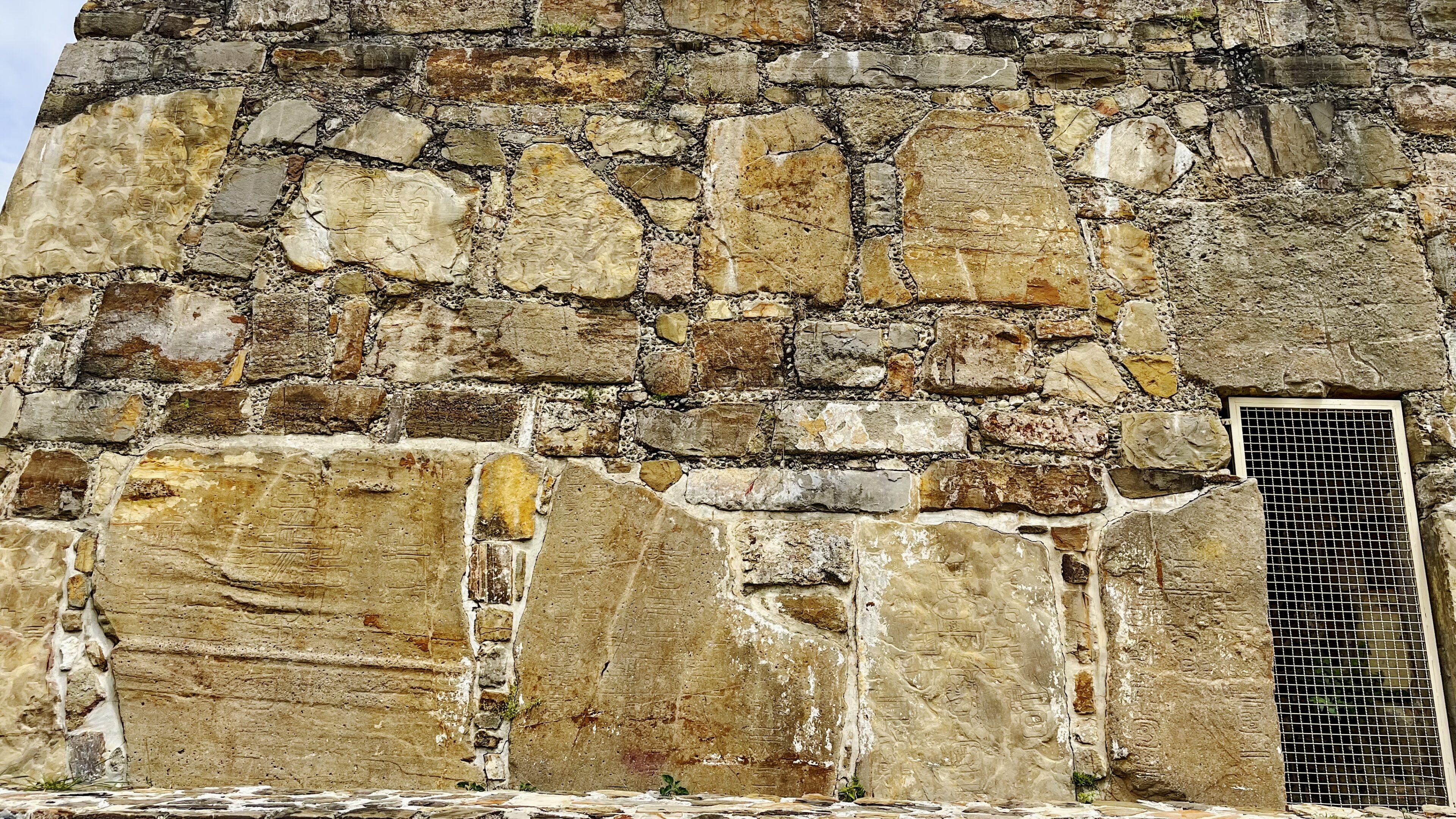
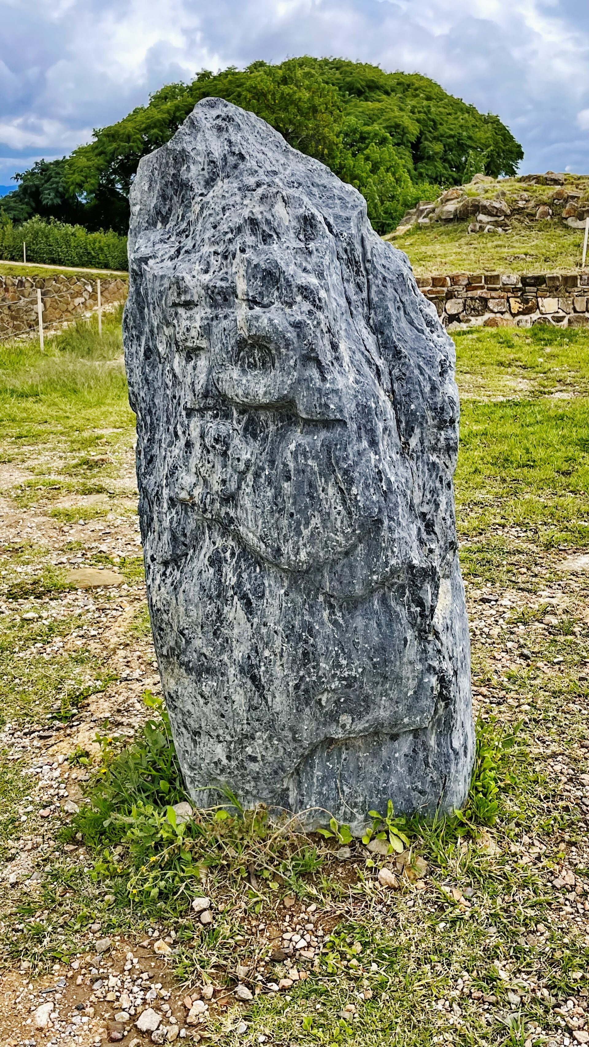
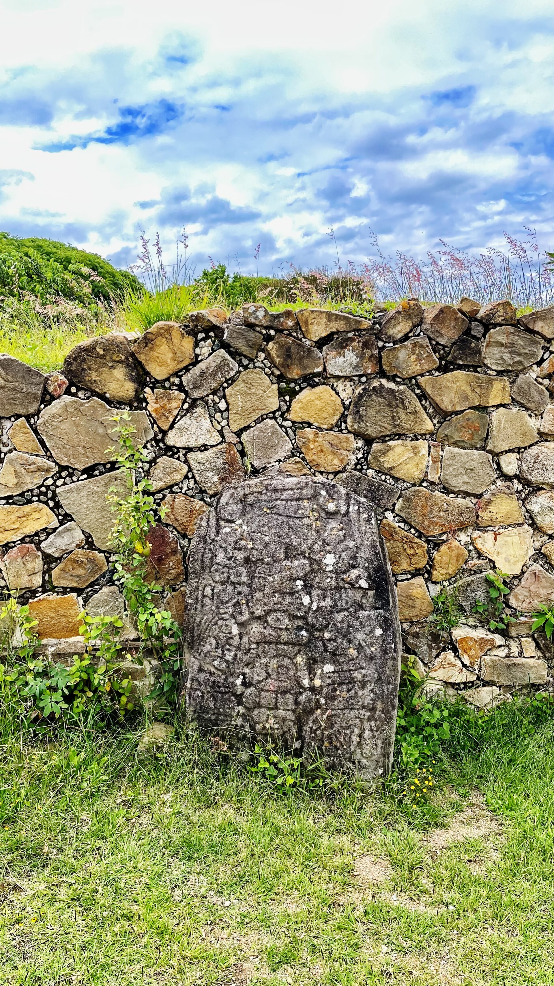
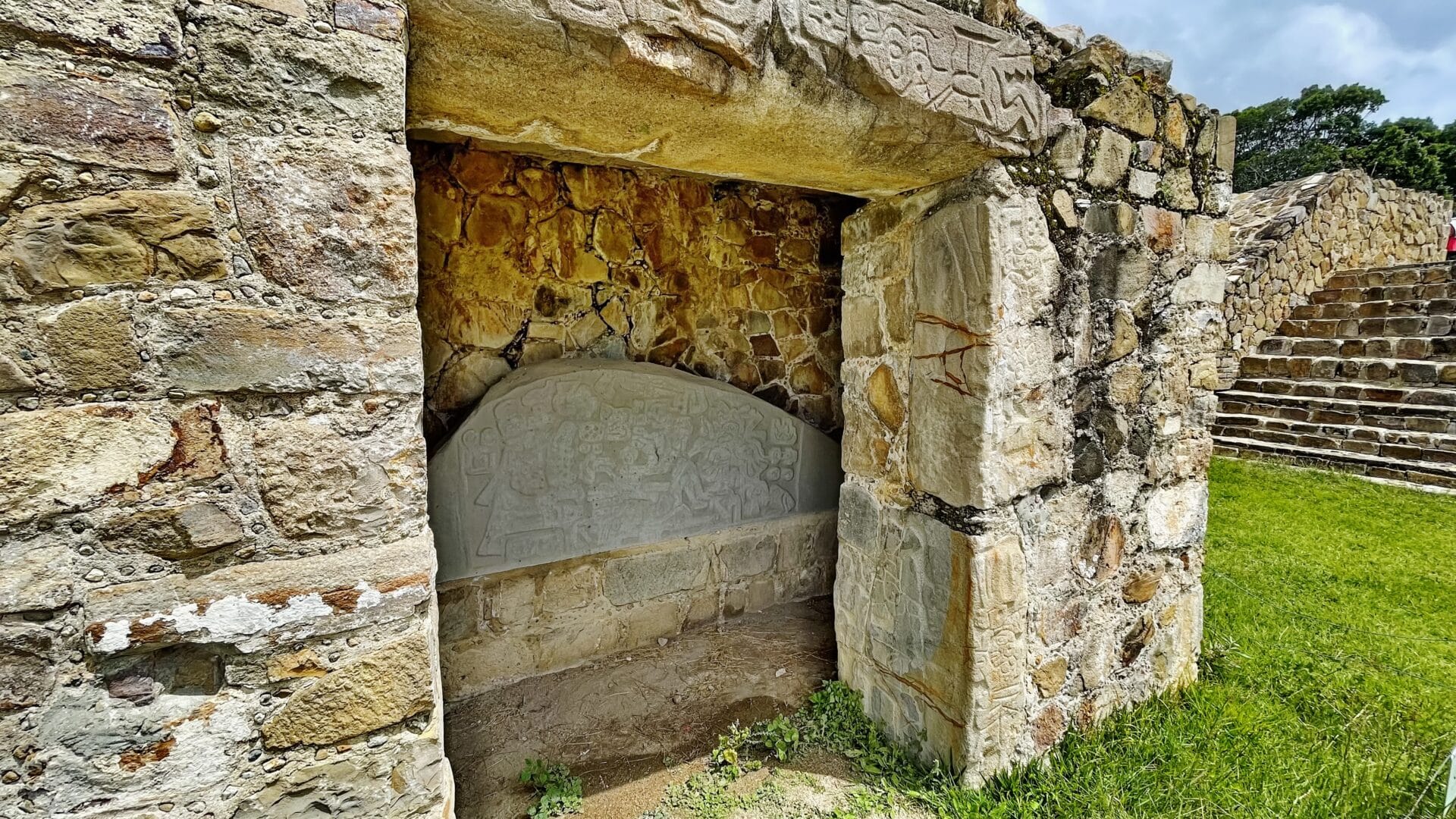
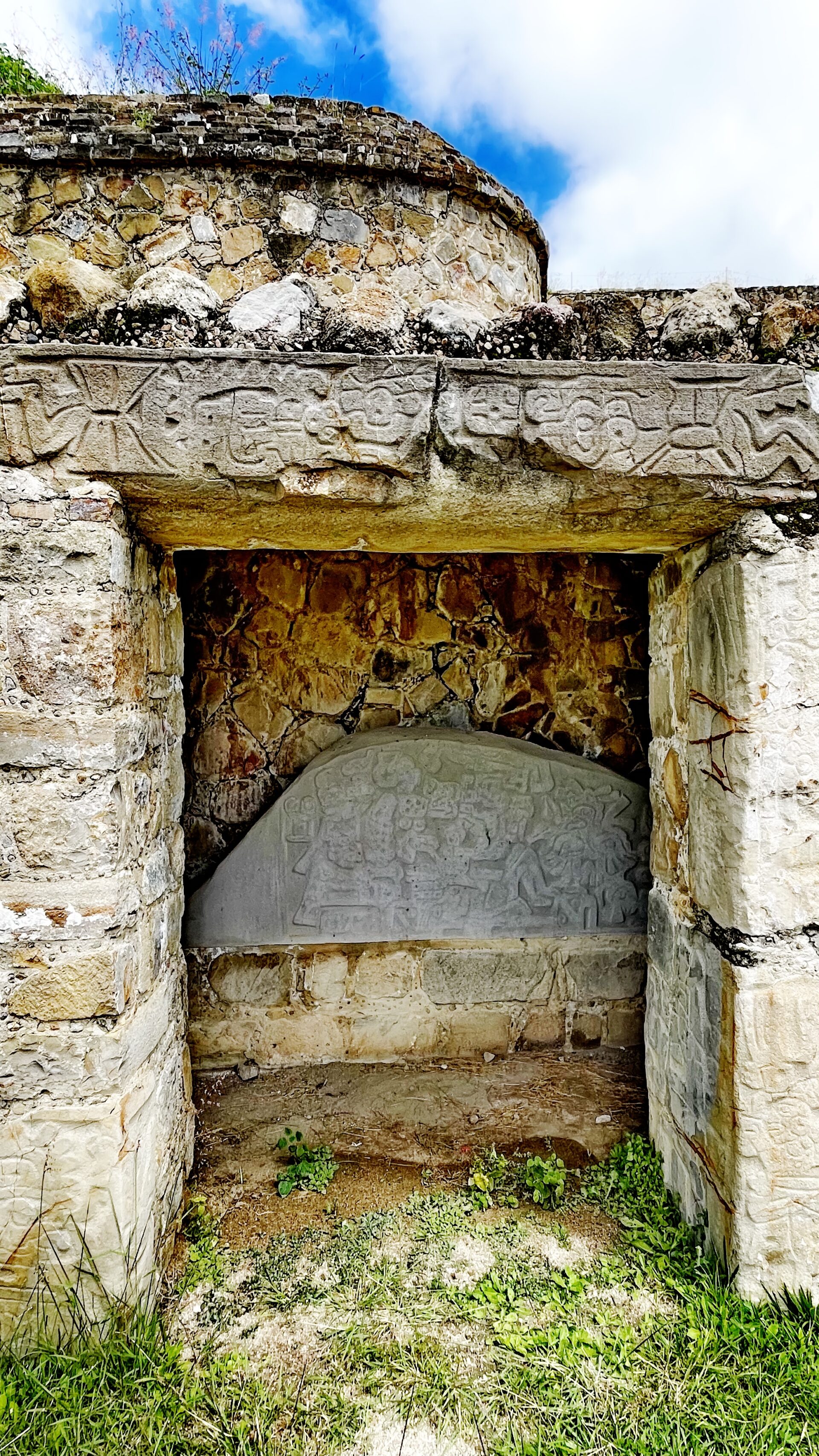
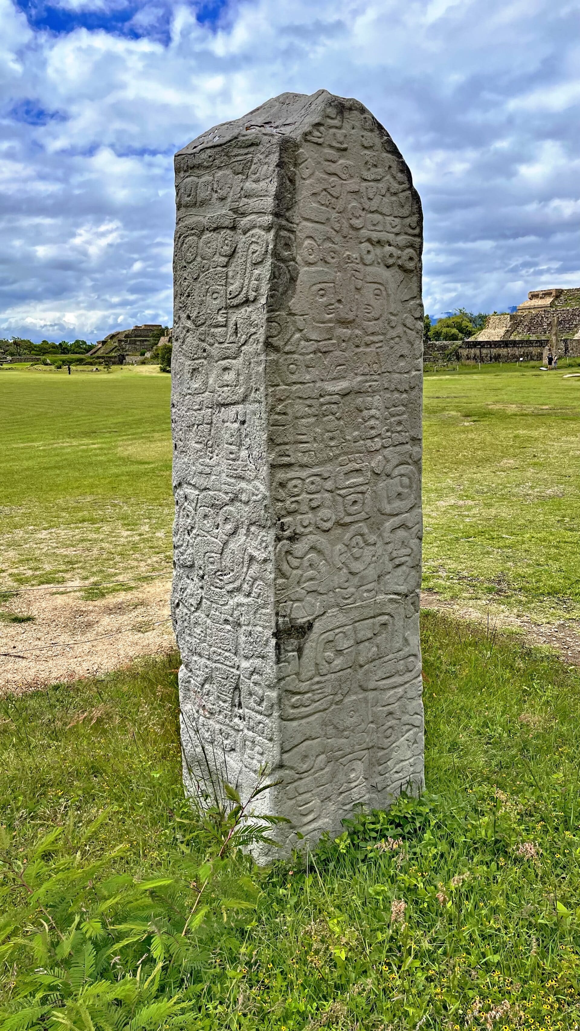
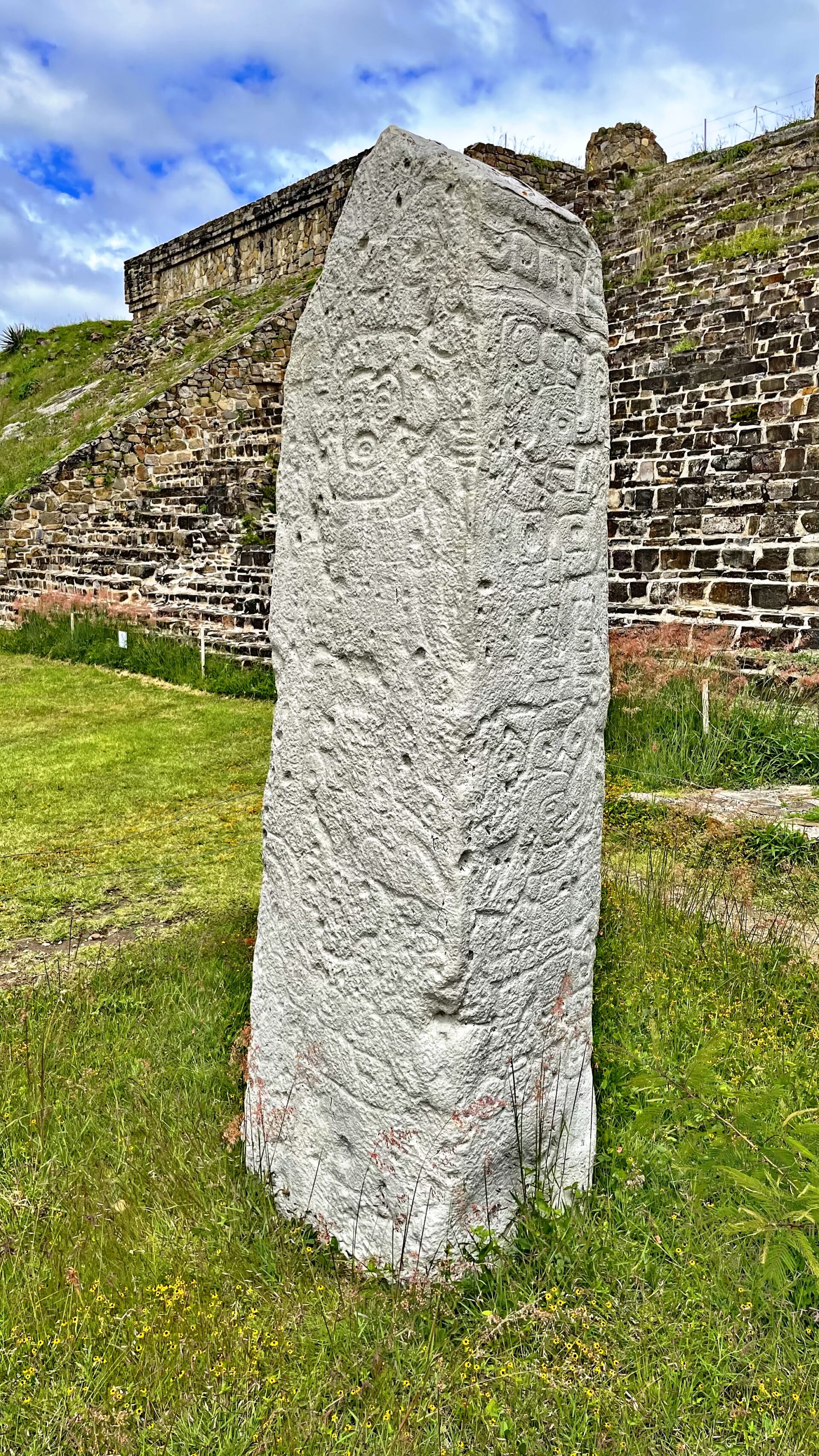
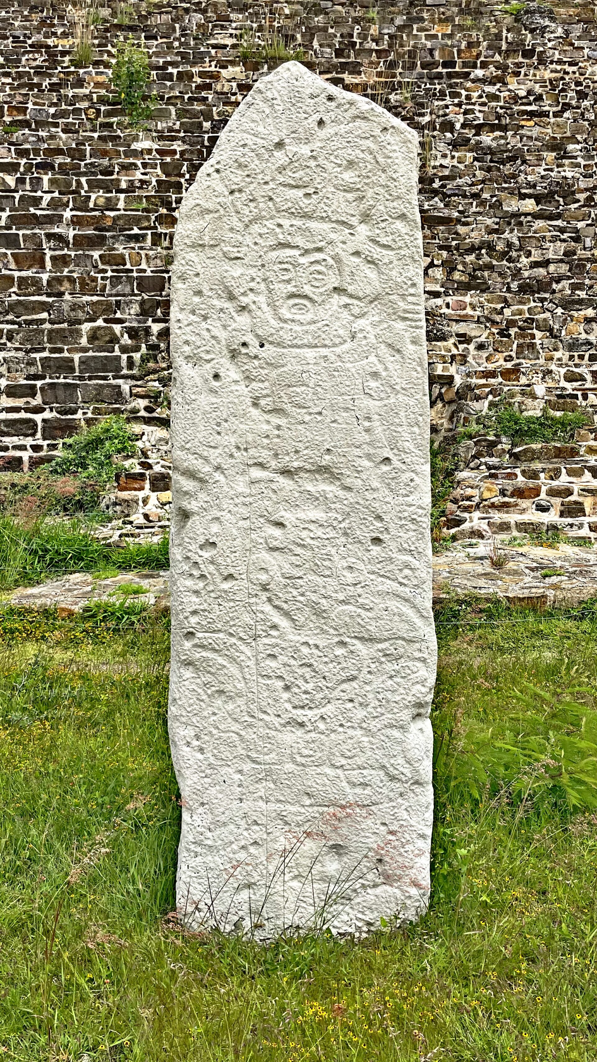
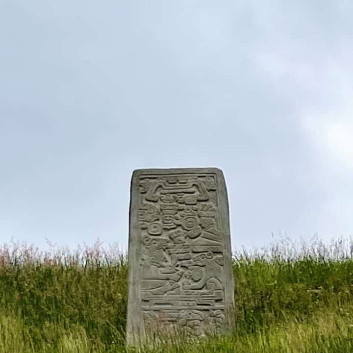
One characteristic of Monte Albán is the large number of carved stone monuments throughout the plaza. The earliest examples are the so-called “Danzantes” (literally, dancers), found mostly in the vicinity of Building L. These represent naked men in contorted and twisted poses, some of them genitally mutilated. The figures are said to represent sacrificial victims, which explains the morbid characteristics of the figures. The Danzantes feature physical traits characteristic of Olmec culture. The 19th-century notion that they depict dancers is now largely discredited. These monuments, dating to the earliest period of occupation at the site (Monte Albán I), are now interpreted as representing tortured, sacrificed war prisoners, some identified by name. They may depict leaders of competing centers and villages captured by Monte Albán. Over 300 “Danzantes” stones have been recorded to date, and some of the better preserved ones can be viewed at the site’s museum. There is some indication that the Zapotecs had writing and calendrical notation.
The etymology of the site’s present-day name is unclear. Tentative suggestions regarding its origin range from a presumed corruption of a native Zapotec name to a colonial-era reference to a Spanish soldier by the name Montalbán or to the Alban Hills of Italy. The ancient Zapotec name of the city is not known, as abandonment occurred centuries before the writing of the earliest available ethnohistorical sources.

